BY GARY FONVILLE
Forgotten NY correspondent
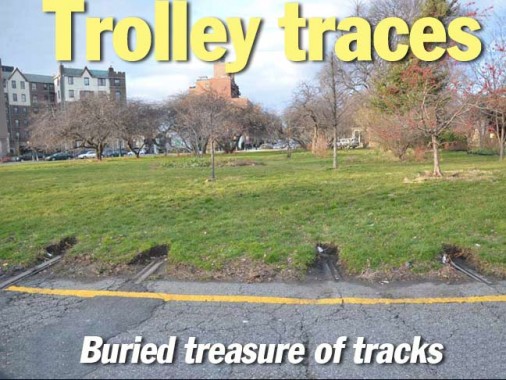
I used to live near this location where Coney Island Avenue meets Parkside Avenue in Kensington, Brooklyn at Park Circle. Even though I used that circle for 35 years or so, I never saw these former trolley tracks. Even ‘your webmaster’ didn’t see them when when he did a Kensington, Brooklyn piece recently. It’s just that inconspicious. It wasn’t until last winter when I was driving around the circle when the red light caught me. I just happened to look in the direction of these tracks. Bingo! I had my camera with me, went around the circle with camera ready and shot this photo. Generally, trolley route designations were transferred to the bus routes that replaced them. Since the B68 travels along Coney Island Avenue, these tracks serviced the #68 trolley route.

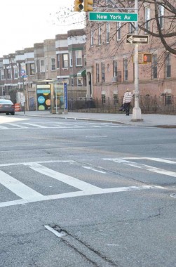
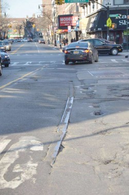
A while ago, I did a piece for FNY about exposed trolley tracks. Since that posting, many of those uncovered tracks have since been repaved. But you can see this one at St. John’s Place & New York Avenue in Crown Heights, Brooklyn. This photo was shot on St. John’s, looking east.
[That would be the #5 line, which ceased service 8/24/47]

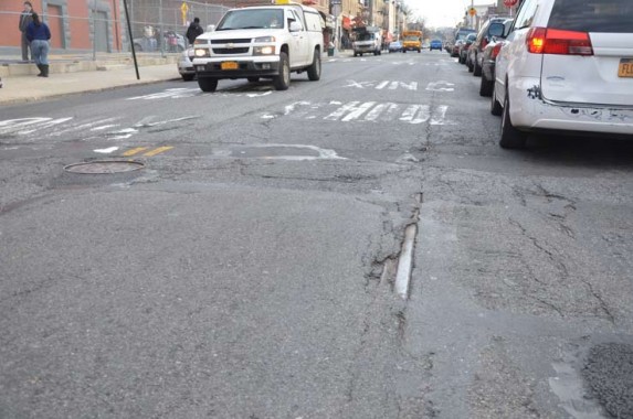
In a rare moment for me, I forgot exactly where I took this photo. But I do remember it was in Bushwick, Brooklyn. I think it’s on Wilson Avenue.
[The #14 Wilson Avenue line ran until 5/27/51]

Church Avenue, looking west towards Flatbush Avenue. This route is served currently by the B35 bus route.
[Both the #8 and #13 lines used Church Avenue. The Church Avenue line was the last regular streetcar route in Brooklyn, lasting all the way to 10/31/56. The odd widening of Church Avenue for a couple of blocks either side of Ocean Parkway was for a trolley tunnel that ran under the Parkway. I wonder if it’s still there.] brooklynpix
9/30/12
