

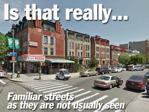
I have been thinking about doing this page for some time, almost from the beginnings of FNY 15 years ago. I would come across a street in an out-of-character scene, in a neighborhood or a state in which it is completely unfamiliar. These type of scenarios are relatively rare in NYC and are sprawled out across the five boroughs and impractical to do in one day’s shooting. But Google Street View has changed all that and I can simply go to the desired street, do a screen grab and there it is. Street View does not always provide a clear photo, so I Photoshopped a few of these in quick and dirty fashion, since I’m not out to win any awards here.


Though the Grand Concourse is a multi-lane behemoth bruiting its way from East 161st north to the Mosholu Parkway in the Bronx, it was extended south over the former Mott Avenue after its original construction in 1909. On its extreme southern end at East 138th, it’s a service road on either side of an off-ramp of the Major Deegan Expressway.

The Grand Central Parkway, along with the Jackie Robinson (Interborough) Parkway, was among the first expressways built expressly for automobiles in the early 1930s. The GCP’s service roads are usually busy 2-lane affairs, but when you get out to Glen Oaks east of Little Neck Parkway, the road on the north side of the parkway trickles down to one lane, as ween here.


Astoria Boulevard roars through northeast Queens on either side of the Grand Central Parkway and then east out to Northern Boulevard as a six-lane monster, but in Astoria Village near the East river it’s just a two-lane road. After the Astoria Houses were built in 1951, the boulevard’s extreme west end was cut off to a dead end cul de sac (that does give cars room to turn around) off 1st Street.


Here’s a half-block section of Avenue Y in Bath Beach, Brooklyn that doesn’t even make most maps, between Bay 50th Street and West 16th Street. Avenue Y used to extend straight through to Stillwell Avenue as its partner Avenue Z still does, but the construction of the high rise complex seen here eliminated a portion of the avenue. Then, Avenues Y and Z are cut off from their eastern sections by the sprawling Coney Island Subway Yards. They resume at Shell Road and run east to Knapp Street, with Avenue Y gaining a short section in Mill Basin, as well.


Broome Street runs across the Lower East Side, Little Italy and SoHo officially between Pitt Street and the Holland Tunnel entrance at Hudson Street, but it was once officially laid out all the way east to the East River. A couple of short, narrow sections of Broome street still remain in the 1940s-era housing projects that dominate the Lower East Side, the easternmost of which runs here to Lewis Street.


One of Kensington and Flatbush’s busiest shopping streets is Church Avenue, which in actuality runs from Borough Park to Brownsville. Part of it is a colonial-era lane running to the Dutch Reformed Church on Flatbush Avenue, which has had a congregation since the 1650s. But Church Avenue begins inauspiciously here at 37th Street just south of 13th Avenue.


Hylan Boulevard, named for NYC Mayor John Hylan who served in the 1910s and 1920s, runs straight along Staten Island’s south shore all the way to Tottenville. In Rosebank, however, it was extended along the former Pennsylvania Avenue, a quiet two-lane road. Here is its northern end at the Narrows and Edgewater Street. The Harbor House bed and breakfast, where I stayed for a few days in 2005 when researching Staten Island for the ForgottenBook is out of the photo on the left, while the historic Alice Austen House is to the right of this scene.

In probably its most familiar role, Linden Boulevard is a surface expressway, with 8 lanes of pedal-to the metal traffic between Kings Highway and the Belt Parkway. But unusually, it has a number of very quiet sections. Its westernmost part runs from Flatbush Avenue to Kings Highway and was originally called Linden Avenue, likely for some vanished linden trees. In the 1920s it was extended and widened along the former Vienna Avenue.


After reaching the Belt Parkway and transferring its traffic there, though, Linden Boulevard isn’t finished. It begins again at Rockaway Boulevard east of Aqueduct Raceway and runs into Nassau County, where it finally ends at the Southern State Parkway. In St. Albans it took over the route of the former Central Avenue.
However between the Belt Parkway and Aqueduct in Ozone Park, there are a pair of dead ends both called Linden Boulevard, at Pitkin Avenue and Sitka Street, and another one on DeSarc Road, seen here, and a short section between Cross Bay Boulevard and Centerville Street. Undoubtedly, there was once a plan to connect all these separate Linden Boulevards, and some of it got started, but was never finished!

At its longest length, Richmond Avenue once ran north and south, cutting across all of Staten Island from the Kill Van Kull in Port Richmond all the way to Raritan Bay in Eltingville. Then the city planners got involved, renaming the section between Forest Avenue and Richmond Terrace PORT Richmond Avenue.
Thus, the curved road you see here is now the northern end of Richmond Avenue, a curious semicircle at Forest Avenue. It’s been there since the 1800s and shows up on maps of that era. South of Forest Avenue Richmond Avenue expands into a virtual expressway as it runs past the Staten Island Mall.


Tremont Avenue, East and West, runs across the entire borough of the Bronx, from the Harlem River in Morris Heights to the East River in Schuylerville. It absorbed several other roads as it was united under one name in the early 20th Century. Quite different from its easterly role as a traffic speedway and shopping mecca, this section near the Harlem River between Cedar and Sedgwick Avenues is paved with red brick and the hill is so steep that the avenue dead-ends and turns into a step street.


Optimistically-named Utopia Parkway bustles north and south between the East River and the Grand Central Parkway, most of it in Auburndale and Fresh Meadows. It begins as a trickle at Little Bay at 12th Avenue, where it runs along the water with a view of the Throgs Neck Bridge. It doesn’t get its mojo until it gets south of the Cross Island Parkway.
4/19/13