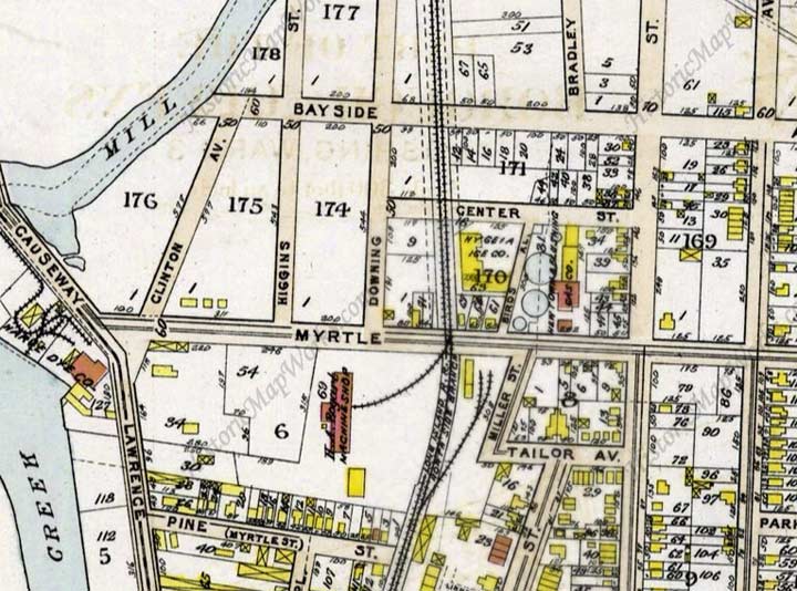


No streets on this map section have kept their old names except Higgins, Downing and Miller Streets.
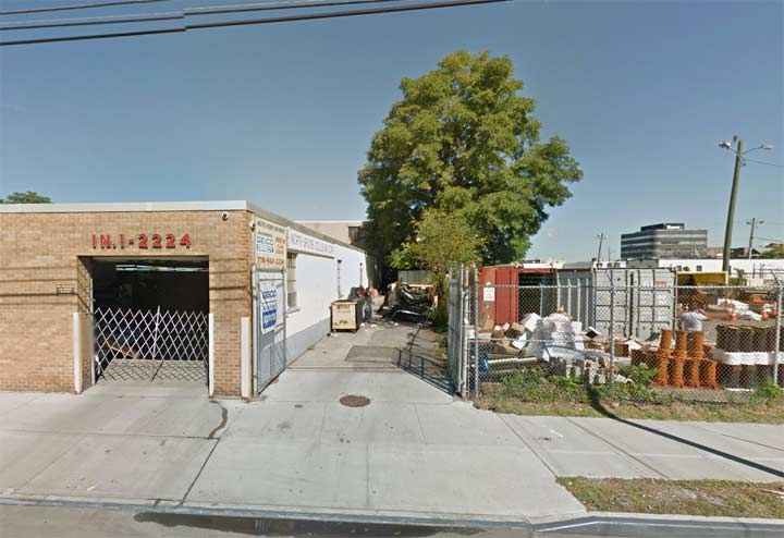
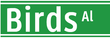
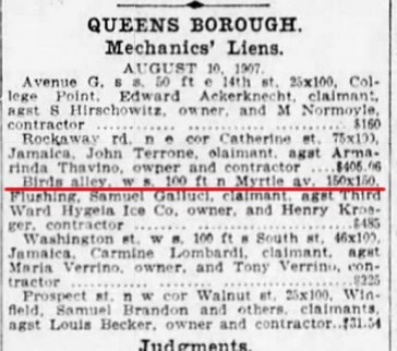
I found an edition of the Brooklyn Eagle from August 1907 listing Birds Alley, Myrtle Avenue and the Hygeia Ice Company. In my opinion, as Flushing became ever more populated, the alley became a dead end and lost its status as a mapped street several decades ago. Its ghost is still there in that angled driveway.
Flushing is quite old, and has something of an Old World street pattern in spots, with very short streets, some angled against the overall grid. Another remaining of these short Streets is Linnaeus Place, a C-shaped street beginning and ending on Prince Street north of 35th Street, with its own unique set of attached houses.
Previously in Flushing: Eagle Nest Lane
10/17/15