


A short lane abutting Bridge Park connects Undercliff and University Avenues near the spaghetti ramps connecting the Cross Bronx and Major Deegan Expressways just south of Washington Bridge spanning the Harlem River, one of the city’s oldest, not to be confused with its bigger cousin, the George Washington Bridge spanning the Hudson. Its name is Boscobel Place; the name means in rough Italian “beautiful woods” and was the name of the estate of William B. Ogden, for whom Ogden Avenue was named.

The name “Boscobel” used to be a bigger deal in these parts. Edward L. Grant Highway is one of the few streets in NYC designated “Highway” (Kings Highway is the longest and most famous). Formerly Boscobel Avenue, it was renamed in 1945 for a baseball player, but not a New York Yankee… Edward Leslie “Harvard Eddie” Grant played in the major leagues between 1905 and 1915 for the Phils, Reds and New York Giants, hardly a superstar but a workaday infielder. He was killed at Argonnes, France in October 1918, three years after his baseball career ended. Grant was the first major leaguer or ex-major leaguer to be killed in WWI action. In 1921, the Giants dedicated a plaque in the centerfield at the Polo Grounds in his memory; the plaque is duplicated at the Giants’ present home in San Francisco. I do not know why it took fully 27 years to get around to renaming the former Boscobel Avenue for him.
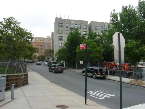
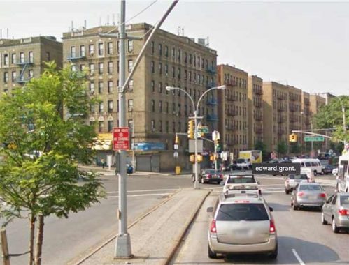
Grant Highway runs northwest from Jerome Avenue and 167th Street to University Avenue (Martin Luther King Boulevard) where it meets Washington Bridge. The western Bronx strives mightily toward a street grid a la Manhattan south of Central Park, but hilly topography thwarted the effort, and streets meander around willy-nilly.
When I was a kid and started consulting maps, I was perplexed that the western Bronx and Manhattan share the same street numbering across the mighty Harlem River. It was later that I found out that Manhattan, and the Bronx west of the Bronx River, were once the same county (New York County), and when the “Commissioner’s Plan” of a numbered grid originated in 1811 made its way north, all of New York County got the same street numbering, river be damned. Because of the topography I mentioned above, the streets in the Bronx and Manhattan aren’t on the same latitude; for example, when 145th Street is bridged across the Harlem River, you’re on 149th Street in the Bronx. This gets more exaggerated the further north you go, say in Kingsbridge; let’s say you’re on Sedgwick Avenue going north… you jump from 197th to 229th Street. (Because of the way the street grid is laid out, Ditmars Boulevard in Astoria jumps from 49th to 70th Street).
To me, that’s why looking over maps was such fun!
As always, “comment…as you see fit.” I earn a small payment when you click on any ad on the site. Take a look at the new JOBS link in the red toolbar at the top of the page on the desktop version, as I also get a small payment when you view a job via that link.
11/21/23