According to maps through most of the 20th Century, Smiths Lane is a narrow alley running from Rockaway Parkway southwest to East 92nd Street just south of Farragut Road in Canarsie. By 2011, though, the alley has been pretty much reduced to one block and a tiny cul de sac.
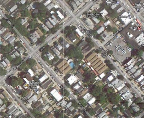
This Google satellite view shows Smiths Lane as running one block (at the right side of the photo) between Rockaway Parkway and East 96th. A close look, though, reveals the right of way runs further west.
The alley is one of several surviving lanes that connected different properties in Canarsie before it joined the rest of Brooklyn (it was formerly in the town of Flatlands) in the late 1890s, and the rest of NYC in 1898. By 1900 the overall street grid had been plotted, but it wasn’t actually constructed until the 1910s and 1920s, and many of the older lanes survived for decades.
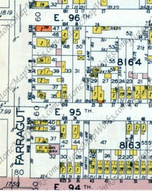
1929 Belcher Hyde atlas showing Smiths Lane just east of Farragut Road. Unpaved roads are shown in white.
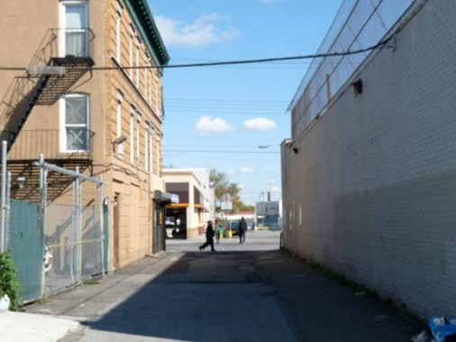
The paved stretch of Smiths Lane between Rockaway Parkway and East 96th Street is the only surviving through stretch, and this is the only Department of Transportation street sign.
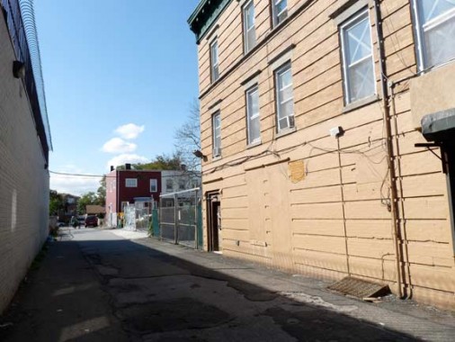
This dead end stretch of Smiths Lane east of East 95th survives because oif a house, its only official address. A hand drawn wood sign marks it.
South of East 95th, Smiths Lane is an especially wide driveway.
Ditto the north and south sides of East 94th.
At East 93rd, Smiths Lane has also been absorbed into a driveway. A telltale sign, though, is the presence of a midblock street sign for East 93rd.
10/24/11


