At present, the Bronx’ Kingsbridge Road runs from Marble Hill at the Bronx-Manhattan line (it’s called West 225th Street in Marble Hill) east and southeast to Fordham Road, following a meandering path defined at first by an animal trace, then a beaten path used by Native Americans through the woods, then a colonial-era road used by both British and American troops in the Revolutionary war. However, it used to be much longer.
As related on FNY’s Marble Hill page, the road was named for a bridge over Spuyten Duyvil Creek built by Frederick Philipse in 1653. In fact, the road once led from what is Madison Square all the way north to the creek, and Central Park’s East Drive, St. Nicholas Avenue, and the northern part of Broadway follow its old path.
As Gilbert Tauber writes in Oldstreets:
There was a crude road to the northern tip of the island even before the opening of the King’s Bridge in 1693. However, “Kingsbridge Road” usually refers to the widened and improved road built north from 23rd Street about 1708, and especially to the part north of the fork at 109th Street. (The road up to fork came to be known the Eastern Post Road.) Kingsbridge Road from 110th to 170th Streets is now St Nicholas Avenue. It is now Broadway from 170th Street to Marble Hill, where it turned west on West 228th Street and crossed Harlem Creek on what was later Kingsbridge Avenue. After the opening of the Harlem Bridge Road from 90th Street, shortly after 1800, the name Kingsbridge Road was applied to the section of the Eastern Post Road between 90th and the 109th Street. Most of this stretch has been incorporated into the East Drive of Central Park. See also Weckquasgeck Road.
The Bronx’ Kingsbridge Road can be thought of as an eastern extension of the older one on the island of Manhattan.
Let’s turn our attention now on the existing remnants of Kingsbridge Road east of its formal ending at Fordham Road. The street pattern gives evidence of its existence, as you can see by checking this google map.
The current routes of Third Avenue, East 184th Street, East 182nd Street and Grote Street in Belmont all trace its ancient pathway.
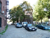
Old Kingsbridge Road Remnant
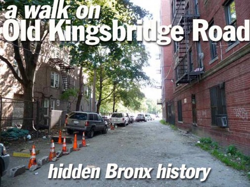
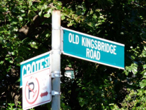
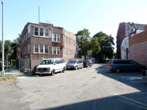
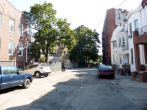
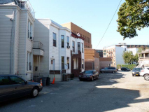
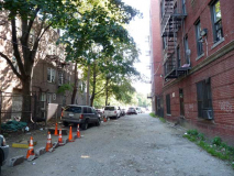
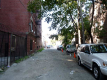
Besides the still-existing Kingsbridge Road, there is a tiny dirt path running one block between Grote Street and the intersection of Garden Street and Southern Boulevard. It is identified by a single street sign and is paved only partway: the section with a couple of houses facing it, which is likely why this section has been preserved. Undoubtedly, new development will likely eliminate it sone day.
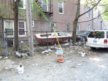
An unpaved section adjoins a large apartment building. In effect, this historic road is a dead end off Grote Street. It should be preserved with historic signage, but that’s not how it’s played in New York City.
1/2/12
