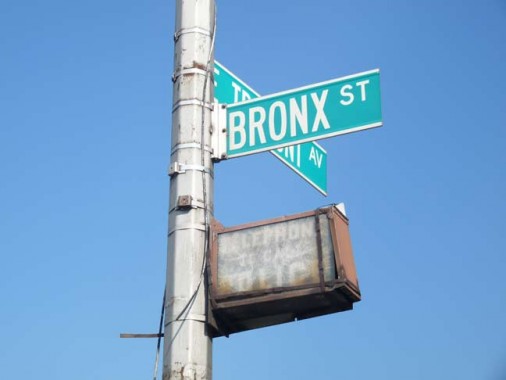
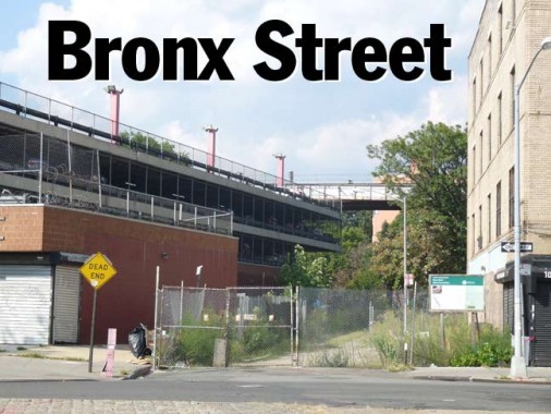
I spotted it from across East Tremont Avenue, just east of Boston Road. Having absorbed the Bronx map and street listings from Geographia’s ‘Little Red Book’ series, since childhood I had been aware of the existence of the prosaically-named Bronx Street, which sits at what is nearly the center point of the borough east of West Farms Square.
Older maps show that Bronx Street ran north for a couple of blocks to East 180th, but the northern sector has long been obliterated for a housing project. Though Bronx Street has been expunged from the major mapmakers save Google, it never completely died, and a fenced-off, weed-strewn section still issues north from Tremont.
John McNamara’s History in Asphalt states that this is the former site of a Revolutionary War blockhouse and later, a factory/mill.
Since Bronx Street has likely never been chronicled heretofore, I wish to introduce it to the public at large. Several bus lines converge at West Farms Square, and the #2 and 5 trains are nearby. Of couse, you can also visit the Bronx Zoo after paying Bronx Street hommage.

The lamppost holding the identifying street sign also still holds a battered and long-defunct lightbox pointing out the presence of a special telephone dedicated to calling the police in case of an emergency. That phone, of course, is also long gone.
9/3/12
