One of Brooklyn’s abiding mysteries (probably for me and no one else) is the presence of Highlawn Avenue, which runs in the northern edge of Gravesend, from Stillwell Avenue east to West 3rd Street. It stands in the place of Avenue R, which begins at Kings Highway and East 5th Street and runs east and northeast to Flatbush Avenue in Marine Park.
After about a century since they first appeared on maps, there is something of a mystery and lore about Brooklyn’s lettered avenues. Avenues B and C, for example, are several miles and several neighborhoods apart. There is no Avenue E at all (older maps indicate Foster Avenue took over for it a few years after it was laid out) and Farragut Road and Glenwood Road stand in for F and G, though there’s a piece of Avenue F still remaining. Avenue Q was renamed Quentin Road in 1922, apparently because the city didn’t people to mix up Avenue O and Avenue Q in handwriting.
But, Highlawn Avenue seemingly nonsensically stands in for a part of Avenue R. The area is flat as a pancake, as is most of southern Brooklyn, and no lawn found here seems any higher than any other lawn.
There are a couple of clues about why Highlawn Avenue exists, if you take a walk along its length.


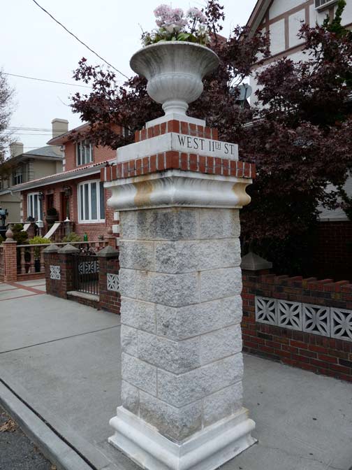
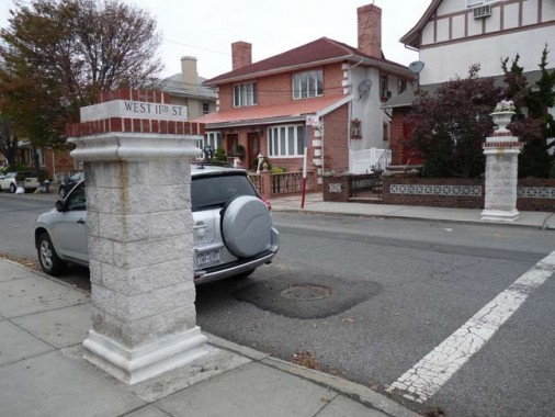
Three north-south numbered streets (West 9th-11th) have ornamental gateposts at Highlawn Avenue intersections. The pair at West 11th have been nicely maintained, and one still has its urn. I don’t know why the Highlawn Avenue side says “West 11th Street.”
As a rule, gateposts like this indicate a present or former real estate development.
As an aside there’s a fairly wild ornamental fountain in front of a West 11th Street house near Highlawn Avenue.
A look up West 11th Street reveals several detached houses, nothing special or uniform.
At West 10th the gateposts are present but unimproved.
The housing is more uniform, as if it had been part of a real estate development in the past.
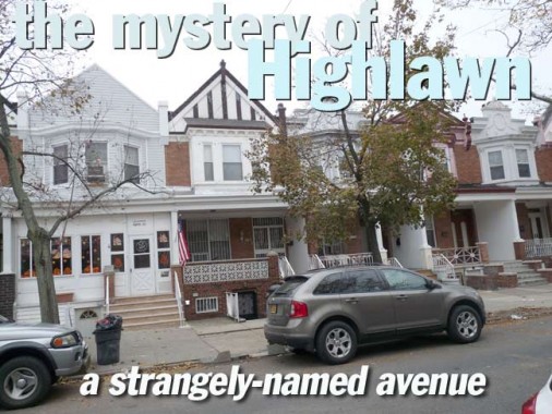
Meanwhile, West 9th has a pair of gateposts on the south side of Highlawn Avenue but at the same time, a very handsome set of attached homes with porches on the north side running up to Quentin Road. The houses on the west side have maintained their ornamentation on the pediments, but it has been removed in favor of siding on the east side.
On this 1912 map, Avenue R is still Avenue R. The West 9th houses are in place while West 10th and 11th are still empty.
By 1929 all the houses are in place, and Avenue R was switched to Highlawn.
My idea is that a real estate developer sometime between 1912 and 1929 wanted to differentiate his houses from others being built in the area, and prevailed on the city to rename Avenue R Highlawn — it’s a self-contained stretch that doesn’t touch the eastern half of Avenue R.
THIS JUST IN: It urns out that Highlawn was, indeed, a real estate development, but what I’ve shown you here wasn’t it! According to Gravesend historian Joseph Ditta the houses north of Highlawn are the result of speculation by developer Otto Singer.
Highlawn was advertised in October 1907 newspapers, developed by Charles Hallock.
However: the development was on streets mostly south of Highlawn Avenue/Avenue R, between West 4th and 10th Streets. It got as far south as Avenue U. It’s advertised as being on high ground, away from the marshiness of South Brooklyn, thence the “high.”
When the Sea Beach RR was placed in a trench and joined the BRT subway (later BMT) it was given a series of station houses. This one on Highlawn Avenue is the southern end of the Kings Highway station.
Thanks Joseph Ditta and Lisanne Anderson.
1/4/13
