There are a pair of unusually-named streets on the southern edge of Far Rockaway: Seagirt Boulevard, the more important of the two, a 6-lane behemoth with a center divider that runs from the complicated confluence of Edgemere Avenue, Beach Channel Drive and Rockaway Beach Boulevard east to Doughty Boulevard in Nassau County, the approach to the Atlantic Beach Bridge; and Seagirt Avenue, a one-lane divided road that runs past a swamp and ends at Beach 2nd Street (more about that later).
Both streets take their name form the past tense of the Old english word “gird” which means to encircle or secure, so in this usage, “seagirt” means “surrounded by water,” which isn’t the case here, though both roads are near the ocean.
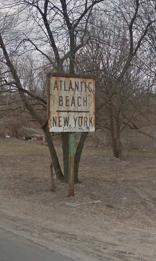
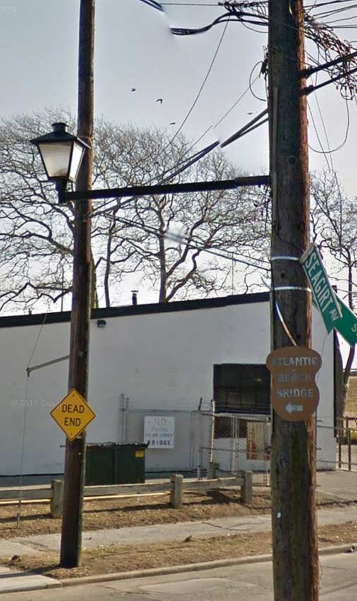
Both streets, as well, can claim ancient signs that have been forgotten about by the Department of Transportation, so I’m taking a chance pointing them out here.
The above sign, which was once illuminated and had an arrow that directed traffic someplace, appears on Seagirt Boulevard just east of Beach 9th Street.

Meanwhile, following Seagirt Avenue, which branches off from Seagirt Boulevard at Beach 9th and runs east until it ends here, at Beach 2nd. But where are we, in Queens or Nassau? The houses bear Nassau County house numbers, a lantern-style lamppost is affixed to the telephone pole, but the street signs are definitely NYC-style.
Oh, and there’s that ancient artists’ pallette-style “Atlantic Beach Bridge” sign, which must have been there since the 1950s at the very least.
Believe it or not, I was told there used to be a 5¢ toll for pedestrians on the ABB!
12/3/14