QUEENS streets were numbered gradually by the Queens Topographical Bureau beginning in 1915, under a system designed by Charles U. Powell of the Queens Topographical Bureau. Many think that Robert Moses was the culprit, but the plan took shape in 1911, a couple of decades before Moses had real power. The street numbering was in place on maps, but far eastern districts such as Glen Oaks and Floral Park were mainly built up in the 1930s and 1940s and many streets weren’t even built until then.

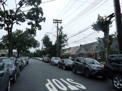
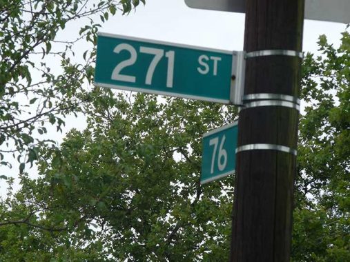
In Queens, you will find the highest numbered street in NYC. The Bronx makes it to 263; Manhattan, 220; Brooklyn, 108, and Staten Island… 10. In Glen Oaks, near the undefended border with Nassau County, you will find 271st Street, which runs for 4 blocks from 76th Avenue at Long Island Jewish Hospital southeast to Langdale Street at 79th Avenue. East of there, once within Nassau County, the numbers cease… but not always, as parts of Floral Park and Elmont have numbered streets that continue Queens numbering! And in Great Neck, some streets still have Queens house numbering, as its streets had Queens numbers, too.
271st is hardly the highest numbered street in the United States, as plenty of communities in the west and south have streets well into the 300s and 400s. In fact I’d like to discover the highest numbered street in the country that is part of an ordinal sequence that goes from lowest to highest (as opposed to a grid system of 1400 West etc.). The internet seems to have no immediate answer.
A mapmaker named Harold Cooper made the Extend NY map of the Manhattan 1811 gridiron street system and extended it worldwide, which led to some high numbers indeed.
Before 1898, all of Nassau County was part of Queens. This, of course, was long before the Queens numbered system was devised, But it would be interesting to speculate what would have happened had Queens remained fully intact and Powell’s street numbering went on and on… up to the Suffolk County border. How high would the streets go? 500s? 600s? I’m thinking of asking Cooper, who’s on twitter, to devise a map showing just that.
As always, “comment…as you see fit.” I earn a small payment when you click on any ad on the site.
4/14/22
