


WINFIELD, Queens was situated roughly in the area within the following borders: Woodside Avenue to the north, Mount Zion Cemetery, Calamus Road (Avenue, today) and Maurice Avenue to the south, the New York Connecting Railroad to the east, and New Calvary Cemetery to the west. Its major intersection was where North Shell Road (45th Avenue), Thomson Avenue (Queens Blvd) and Fisk Avenue (69th Street) converged. This was an excellent place for a settlement, as it was located in close proximity to Newtown, and along the road that connected Long Island City and Jamaica. The adjacent town of Woodside was called so because the area sat beside what was then the Winfield Woods – a.k.a. “Suicide’s Paradise” – where, legend has it, despondent early colonists went to commit suicide. It was apparently named for early 19th Century general Winfield Scott.
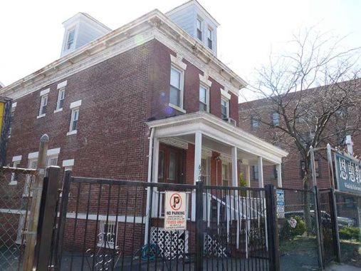
Little trace of Winfield remains today, as it has been absorbed into eastern Woodside. Its Long Island Rail Road station on the Port Washington branch is long demolished and anyone who once used it died decades ago. One remnant of the neighborhood remains: The Winfield Reformed Church, with a primarily Asian congregation, on Woodside Avenue and 67th Street.
For more lost neighborhoods in Brooklyn and Queens, you’ve come to the right place.
More on Winfield, Queens
As always, “comment…as you see fit.” I earn a small payment when you click on any ad on the site.
11/18/22