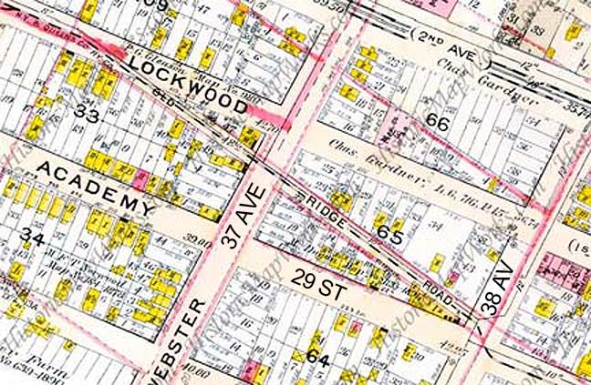
I was meandering around Long Island City, gathering details on what would be my Brownstoner Queens post regarding 29th Street, when I thought I would check in on the condition of Old Ridge Road, since I’m drawn to these old routes that predate the present street grid. I’ve since started wondering, though, if this is indeed one of those routes.


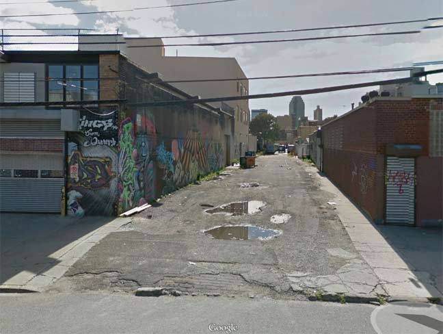
Though I shot my own photos of Old Ridge Road during my walk, I found this Google Street View image irresistible, since they caught it at just the right time when the old lane was devoid of parked trucks, as it usually is. In addition, look closely and you can still see some brick paving in the foreground.

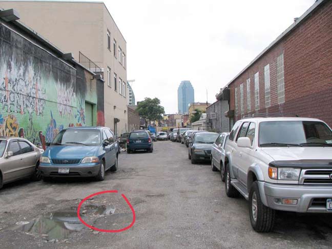
On a previous walk a couple of years ago I detected what I was sure was an old trolley track poking through the broken pavement. I circled it in red, but why I didn’t just walk in there and get an enhanced shot, I just don’t know. In any case, I could not find the track on my most recent walk.
A new mural showing evil clowns on the 37th Avenue end of the road.
During the week Old Ridge Road is too choked with parked cars and trucks for me to make my way all the way through. There are constant Guardians about, ever ready with the catchphrase “whutcha doin’ with the camra?”
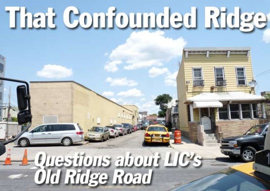
Old Ridge Road’s orientation against the grid is most evident at 38th Avenue, where it just misses an intersection with 29th Street. The yellow aluminum-sided house on the right appears to be of considerable age.
Referring once again to Google Street View, you can see a neighboring old house facing Old Ridge Road. If this is a residence, it’s the only one on Old Ridge Road.
For me the jury is out whether ORR is a construction accommodating the NY & Queens Railway, or of it’s indeed a much older road. Perhaps a visit to the Queens Library historic photo collection on Merrick Boulevard and a look through Eugene Armbruster‘s comprehensive photo collection could settle things; I wish Armbruster’s work was uploaded online. I wish many things….
8/4/14
