
THOUGH most of Queens’ streets, except lengthy main roads such as Northern Boulevard, Queens Boulevard, etc. were numbered beginning in the 1910s and 1920s, some outmoded names continued to show up on Hagstrom editions until the end of the 20th Century, whereupon the company’s maps were redrawn with CAD. Today, I’ll talk about a few of those I’ve located in Woodside, Queens.
Vaux Road
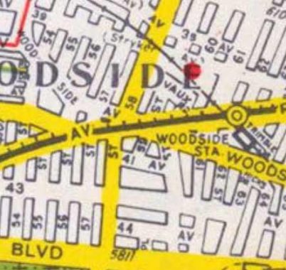
Seen in the above photo is Vaux Road, between 59th and 60th Streets along the Long Island Rail Road north of Roosevelt Avenue. Today, it exists as a parking lot and doesn’t appear to have been a public street for many years.
In older maps, 60th Street is tagged as Vaux Street and was likely named for architect, designer and landscaper Calvert Vaux, the co-designer of Central and Prospect Parks with Frederick Law Olmsted. Two other existing nearby roads, Trimble and Hicks, also replaced lengthier Trimble and Hicks Streets when Queens street were numbered.
|
|
|
|
Burrough Place
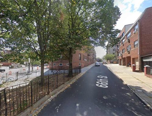
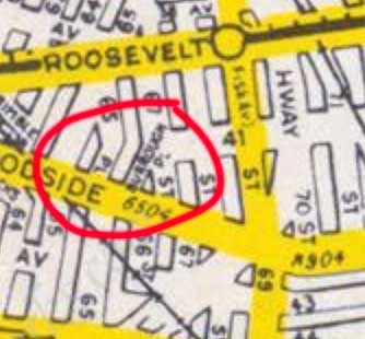
20th Century Hagstroms showed 66th Street north of Woodside Avenue running on a slant to meet 67th Street at 41st Avenue, but in my memory it was always 66th Street instead of Burrough, and I don’t know when the change was made, but I doubt it’s recently.
The Burroughs family was prominent in western Queens, and this short street wasn’t the only namesake to disappear. There was a Burroughs Cemetery in nearby Corona, on Alstyne Avenue east of 94th Street. The entire cemetery was paved over and remains may still be below ground. NYC Cemetery Project has the whole story.
|
|
|
|
Henry Avenue
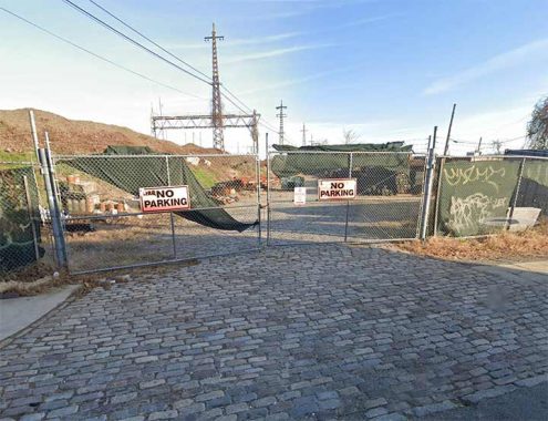
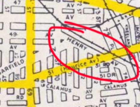
Until recently, Hagstroms showed a Henry Avenue angling southeast along the Long Island Rail Road from 70th Street southeast to 74th, crossing 51st Avenue.
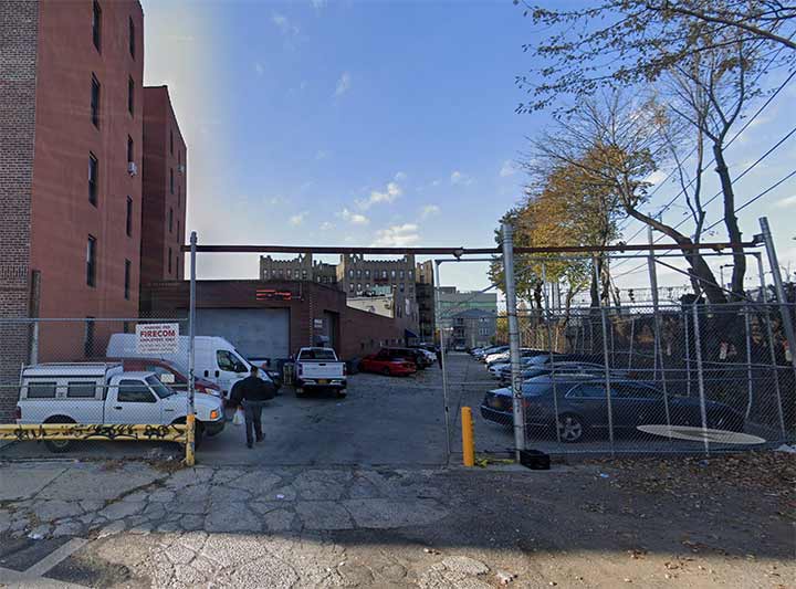
Today, Henry Avenue is represented by a bricktopped private driveway and storage yard for a building products company.
|
|
|
|
|
Bush Street
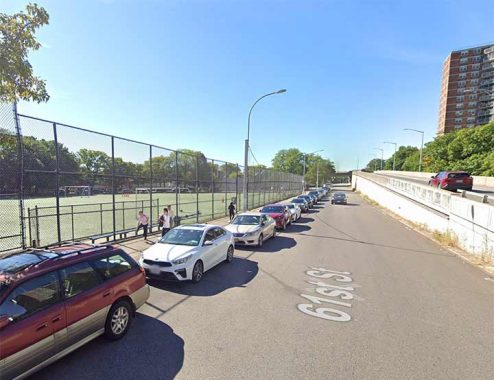
The portion of 61st Street between Queens and Laurel Hill Boulevards along a ramp leading to the Brooklyn-Queens Expressway was formerly mapped as Bush Street. The name is remembered by the adjacent Big Bush Playground.
As always, “comment…as you see fit.” I earn a small payment when you click on any ad on the site. Take a look at the new JOBS link in the red toolbar at the top of the page on the desktop version, as I also get a small payment when you view a job via that link.
11/20/24

4 comments
Thank you for posting. Two additional minor points, if I may:
• The ramp leading to the Brooklyn-Queens Expressway from westbound Queens Boulevard was originally called the Bush Street Tunnel and was formerly identified that way on directional signs on Queens Boulevard. The ramp was opened in 1940 when the BQE opened south of Queens Boulevard.
• There is another surviving old named thoroughfare, Hobart Street, running north-south parallel to 50th Street between 31st and 28th Avenues. It forms the west boundary of Boulevard Gardens, a 960 unit apartment complex built in 1935 that was part of a New Deal program to provide new housing for families with moderate incomes. Wikipedia article: https://en.wikipedia.org/wiki/Boulevard_Gardens_Apartments
And Hobart St. is also part of the border between the 1st Ward (former City of Long Island City), and the 2nd Ward (formerly the Township of Newtown). Both happily joined the City of New York in 1898, along with 3 other wards in Queens.
A remnant of Bowery Bay Road as is Celtic Avenue
Hey Kevin,
We should get Elton John to warble, “Goodbye Trains Meadow Road”