End of the Line
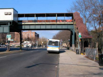
The northern end of the IRT 7th Avenue line, the West 242nd Street Station, serves the #1 local. An unfortunate quirk of the 7th Avenue IRT is the fact that it is all local above the 96th Street station. The situation is alleviated somewhat by wide spacing between stations in northern Manhattan (where it whooshes in the city’s deepest tunnel) so that it really doesn’t seem like a lengthy ride between 96th and 242nd.
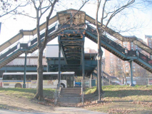
The station appears to be exactly as it has been pretty much throughout its existence with a wood-planked floor and the iron walkway enabling passengers to avoid crossing busy Broadway. Of course, a large token booth and high-tech Metrocard tunstiles have appeared over the last couple of decades.
This is not the NYC subway’s northernmost plunge. A 1940 purchase of the bankrupt New York, Westchester and Boston rail line and its subsequent annexation gave the subways an entry into the Bronx neighborhoods of Williamsbridge and Eastchester, and the line ends at Dyre Avenue, a couple of blocks from the Westchester county line.
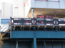
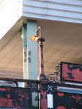
The station still has some of its original platform lightposts, on an unused passenger area, and some original cast iron scroll work.
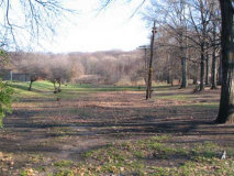
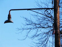
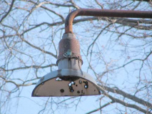
Directly below the staircases going to the pedestrian overpass we find a dirt path that leads to the NY Central Putnam Branch, now part of the John Muir nature trail. At one time it was illuminated by incandescent Welsbach 3737 “crescent moon” lumes. I’ve photographed these before, but this was my first chance to get up close and personal with a zoom lens. As well, the scrolled masts were once used on miles and miles of side streets in NYC, but survive here and here only.
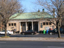
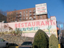
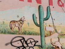
Everything about Van Cortlandt Park is big — including the park house, above left. And, there’s more than one coyote in the vicinity.
Once freed from under the elevated train Broadway assumes a decidedly suburban vibe although its insistent busy traffic reminds you that this, along with the Henry Hudson Parkway, are the main north-south routes in Riverdale.
I have yet to do a full Riverdale survey — I’ve done Spuyten Duyvil, and taken a ForgottenTour through a few years ago, but I have yet to unlock all the secrets of this area so unlike the rest of the Bronx that the New York Times has listed it separately from the borough in the real estate section.


The Van Cortlandt Mansion, built in 1748 for prominent Bronx landowner Frederick Van Cortlandt, is a short distance within the park from Broadway. The vast athletic field north of the mansion was at one time the Van Cortlandt farm, and had large planting fields, livestock, and a grist mill. It was once home to a herd of buffalo.
George Washington used Van Cortlandt Mansion as a headquarters during the Revolution. The house is maintained by the National Society of Colonial Dames as a museum appointed with period Colonial and Federal collections.
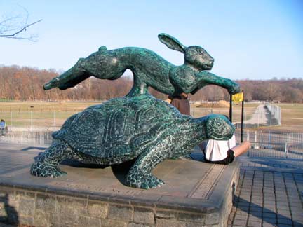
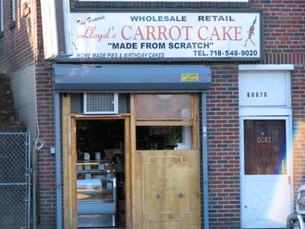
No surprise that a carrot cake store is directly across the street from a “Tortoise and Hare” statue. The park is a venue of choice for the New York Road Runners Club, as well as Manhattan College and other schools. Depending on the time of year the park is sometimes jammed with runners and sports enthusiasts.
Tortoise and Hare, designed by Michael Browne in collaboration with fabricator Stuart Smith, celebrates the fable of the same name by bringing to life the race between the mild-mannered reptilian and overconfident and fleet-footed rabbit. Here the two are virtually neck-to-neck and seem to be striving towards the finish line. The work, which sits on a stone pedestal, lies just outside the finish line of the Van Cortlandt Park cross-country track, one of the best known in the country. The Tortoise and Hare was created as part of a recent capital project upgrading the track. Lehman College
“Dat toitle always wins!!!” — Bugs Bunny
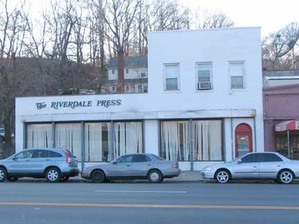
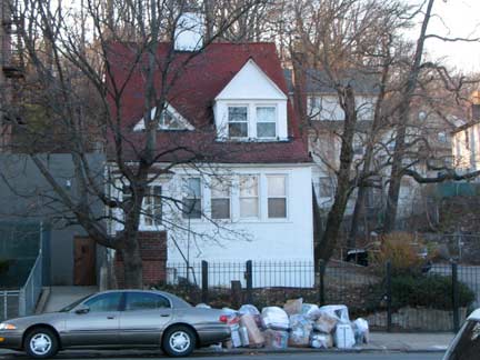
Headquarters of the local paper, the Riverdale Press, founded in 1950. RIGHT: We’re a long way from the Great White Way.
In 1989, the paper became world famous when its office was firebombed, apparently in retaliation for an editorial defending the right to read Salman Rushdie‘s controversial novel The Satanic Verses. For their courage in continuing to publish without missing an issue, the Steins [publishers] were given the prestigious First Amendment Award of the Society of Professional Journalists. Riverdale Press

Detouring west on West 251st, we see what appears to be a back service alley between the houses fronting on Broadway and Post Road, one block over. It is, however, illuminated by city streetlamps, though no Department of Transportation sign marks it.
This is a remnant of the original Albany Post Road, which, in colonial times, separated from the Boston Post Road at what is about today’s West 231st Street and meandered north to what became the New York state capitol. It still exists in spots in the Bronx, and a lengthy, 6.6 mile stretch is preserved in Philipstown in upstate Putnam County.
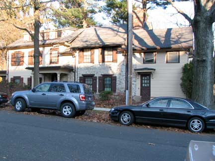

Heading north along Post Road from West 251st (which was named for Albany Post Road but is not a part of it) we find a 2-story colonial with a stone dwelling in the center. This is the Colonial-era Hadley House, now a private dwelling. Brothers George and William Hadley built the center section in the mid-1700s, making it just a little younger than the Van Cortlandt Mansion. In 1777, the Hadleys used the house as a garrison for a corps of volunteers serving the patriots’ cause. In 1829 it became the property of Major Joseph Delafield, along with much of the rest of Riverdale and Fieldston.
In 1915, architect Dwight James Baum, who had a hand in so many of Riverdale’s architecture, remodeled the Hadley house, adding wings to the north and south. Baum was careful to maintain the house’s original features.
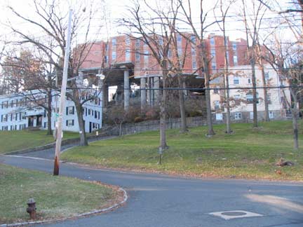
The hilliness of Riverdale and Spuyten Duyvil enables architects to get creative. Here is a development on pillars seen from Post Road and West 252nd Street.

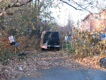
Twisting remnant of Albany Post Road on both sides of West 252nd. The state should definitely designate it a historic trail and assure its preservation.
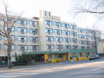
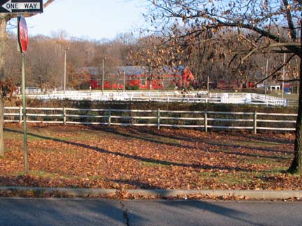
The Henry Hudson Parkway, mostly northbound in Riverdale, takes a quick right turn at West 254th Street, crossing Broadway into Van Cortlandt Park, where it absorbs the Mosholu Parkway and becomes the Saw Mill River Parkway. North of the Henry Hudson, Broadway is lined with a succession of old age homes and motels. On the right side of the street we see the Riverdale Equestrian Centre, but on this day after Thanksgiving, I didn’t see any dobbins.
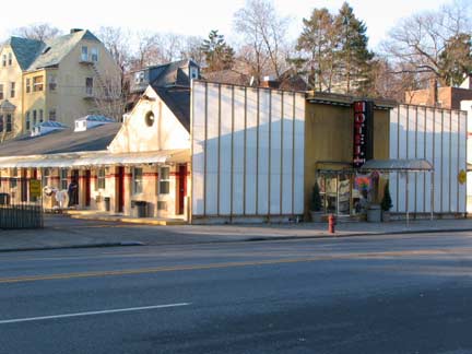

Two more of Broadway’s Riverdale motels
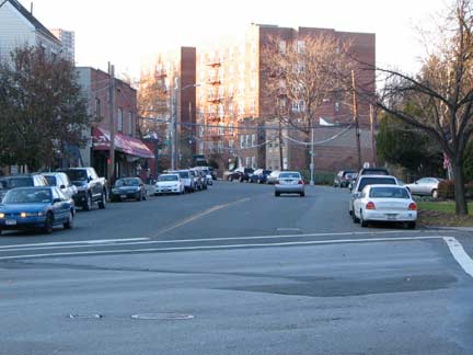

When I first encountered Mosholu on a Bronx street map, I assumed it was a Japanese name, but it is actually a Native American name referring to the now-underground Tibbett’s Brook, actually “place of smooth stones.” Mosholu Avenue is a curving route running from West 254th near Riverdale Avenue northeast to Broadway, where thewre was an Indian vilage of the same name. In Bedford Park and Norwood, tree-lined Mosholu Parkway connects the Henry Hudson Parkway with Kazimiroff (originally Southern) Boulevard in Bronx Park.


Another of Broadway’s mysterious names is at Mosholu Avenue. According to John McNamara, David Sheridan Plaza is named for a local soldier who perished during World War II.
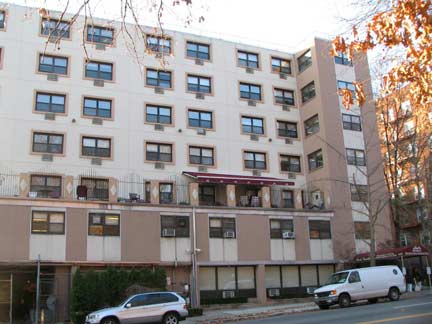
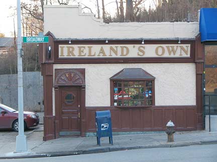
Park Gardens, another retirement home, and Ireland’s Own, one of the many Riverdale Irish bars.
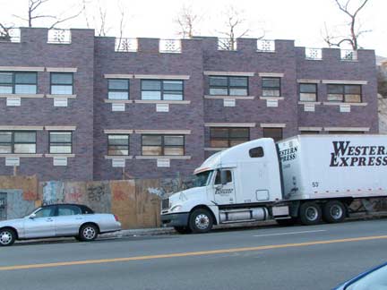

Riverdale is not immune to cheap Fedders housing. Here is an example north of West 261st Street as well as a hillside pit that will soon be home to more of them.
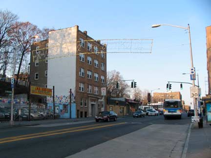
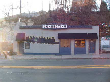
Welcome to Yonkers! But not before we pass the Connecting Bar, which, at 6697, is the highest numbered address on Broadway, completing a sequence that began at #1 Broadway at Bowling Green. North of here, Broadway enters a succession of North and South Broadways in Yonkers and Dobbs Ferry, in which numbering proceeds from a central street in the heart of town; hence, once in Yonkers, Broadway houses are numbered in the 600s and then get lower. Incidentally 6697 is not the largest NYC house number outside of Queens, where houses are numbered according to intersecting streets (with the largest number being in the 271-00s in Floral Park). In NYC the highest “independent” building numbers are in Staten Island, where the Vanderbilt Avenue – Richmond Road – Amboy Road combination reaches about 7800 at the Arthur Kill in Tottenville. Hylan Boulevard reaches the 7300s.
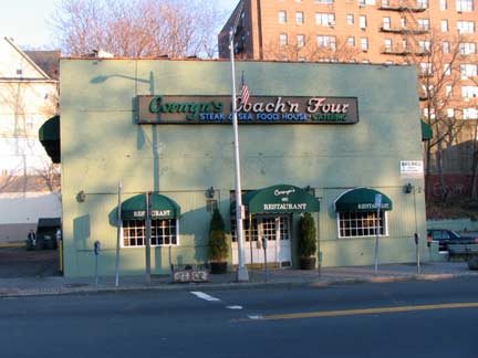
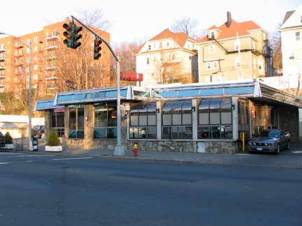
Time for dinner, and there are some choices at South Broadway and Fanshaw Avenue. The sun is setting so it’s also time to turn around and get the bus back to the subway, but there are still a couple of things to check out in Yonkers.
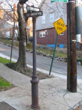
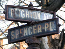
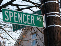
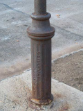
At Leighton Avenue, a continuation of Spencer Avenue of Riverdale, and L-shaped Spencer Place, there’s a rusting street sign post that has the manufacturer, an M. Fitzgerald, embossed on the base. The navy and white street signs are apparently the older Yonkers style (I have seen another pair of these on Caryl Avenue). Are there any more of these around town?

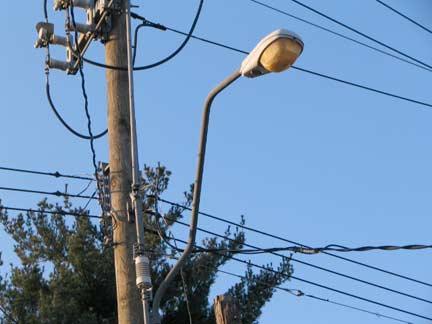
Back in the Bronx, at Spencer Avenue near West 262nd. But here’s an unusual S-shaped telephone pole lamp mast that looks as if it belongs across the border in Yonkers.
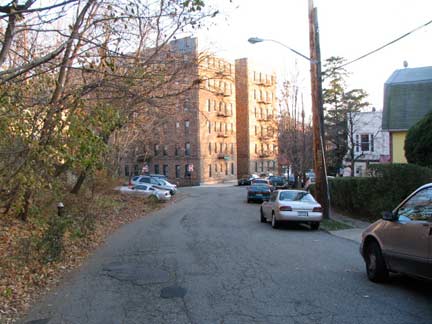
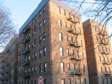
Twisting West 262nd leads to a gorgeous multi-colored brick building at Huxley Avenue, named for the 19th-Century British scientist and early Darwin supporter: his grandson, Aldous Huxley, wrote “Brave New World” in which the triumphs of science are looked at skeptically.
And we’re over and out.
photographed November 28, 2008; page completed December 7.


