As a Bay Ridge boy I made frequent trips by bus to Staten Island after the opening of the Verrazano-Narrows Bridge in November 1964. What was then the R7 (now the S53) ran from 95th Street and 4th Avenue in Brooklyn to what was then Staten Island’s retail hotbed, Richmond Avenue in Port Richmond. And so, I made my way through Arrochar, the first neighborhood in SI the bus traveled through (the name is pronounced something like Al Roker, with accents on different syllables) rather frequently.
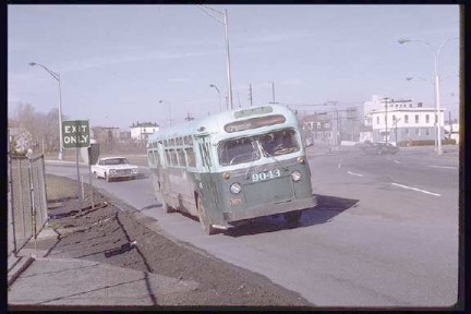 R7 bus fom Bay Ridge on the Verrazano Bridge off-ramp, 1965
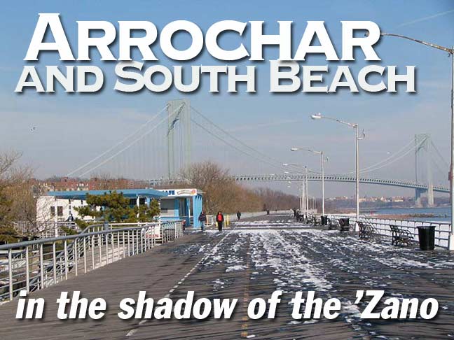
Arrochar, on Staten Island’s easternmost extension, encompasses Fort Wadsworth, now a Gateway Recreation Area (we’ll do a whole page on the fort sometime soon) as well as the northern section of South Beach and its lengthy boardwalk. The area was settled by Scottish immigrant W. W. MacFarland in the 1840s; he named his estate, Arrochar, after the small village NW of Glasgow he hailed from. MacFarland’s home still stands on the St. Joseph Hill Academy campus.
WAYFARING: ARROCHAR/SOUTH BEACH (open in a new window)
H.H.R.
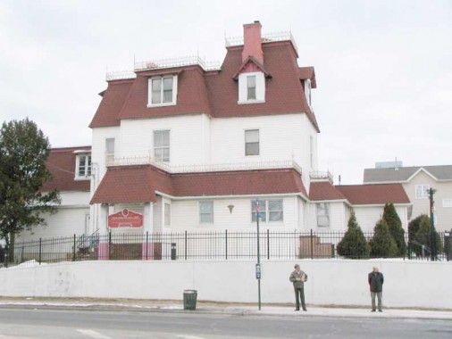
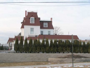
One of the first things travelers from Brooklyn (like your webmaster) see upon exiting the bridge is a massive mansion at Lily Pond and McClean Avenues with mansard roofs, crenellation, clapboard, and dormered windows.
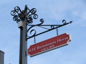
This house is one of only two buildings in New York City that were designed by the famed architect Henry Hobson Richardson (1838-1886). After the architect married Julia Gorham Hayden the couple settled in Staten Island at the encouragement of HHR’s friend, Frederick Law Olmsted, co-creator of Central and Prospect Parks, who was also a Staten Island resident at the time at the south shore in Eltingville. Richardson designed and built his family’s home here in 1868 and it was finished the following year. In 1874, however, the Richardsons moved to Brookline, Massachusetts so he could supervise what many architectural critics say is his masterwork, Trinity Church in Copley Square in Boston. The house was landmarked in 2004 after some up-and-down years. [Landmarks report by nyc.gov]
Big and Rich
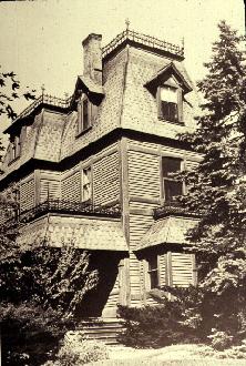
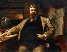
Henry Hobson Richardson was a robust man, standing over 6 feet tall and checking in at a Taftesque 300 lbs. Born in Louisiana, he attended Harvard University, where he became interested in architecture, traveling to Paris and studying at the Ecole des Beaux Arts during the Civil War. He moved to Staten Island in 1866, at Olmsted’s urging as mentioned above.
Richardson’s style was not the more classical style of the Ecole, but a more medieval-inspired style, influenced by William Morris, John Ruskin and others. Richardson developed a unique idiom, however, improvising in particular upon the Romanesque of southern France. The term “Richardsonian Romanesque” has sometimes misled people to assess it as one of the Victorian revival styles, akin, perhaps to Neo-Gothic, but it was actually much more personal, a synthesizing of the Beaux-Arts predilection for clear and legible plans with the heavy massing that was favored by the pro-medievalists. Anne Marie Stillwell, MD
Richardson died at the young age of 48 after battling kidney disease for many years. [More on Richardson by the Glessner House Museum]
Ghost Train
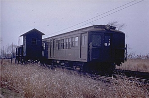
From the 1885 through 1953 Staten Island Rapid Transit ran passenger service, with rolling stock owned by the Baltimore and Ohio Railroad, to South Beach through Arrochar, with stops at Major Avenue, Cedar Avenue, Sand Lane and Wentworth Avenue. In 1953, the B&O wished to end service island-wide, but a compromise was reached with South Shore service retained to Tottenville, but North Shore and South Beach service killed off. Just 17 years earlier, the island had undertaken an expensive program to eliminate grade crossings, placing tracks in open cuts with roads bridging over them, or elevated trestles.
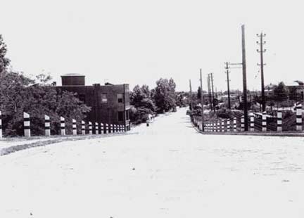
Mid-20th Century view of Railroad Avenue, which ran along the east side of the tracks between McClean and Jackson Avenues. A close look will reveal the tracks on the right side of the picture.
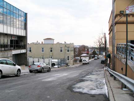
The same view in January 2009. Note that the 2-story building on the left side of the street appears in both pictures.
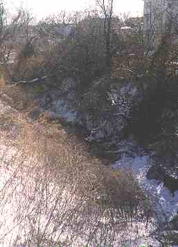
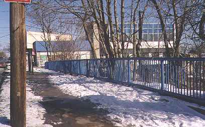
1999 view of the SIRT open cut and trestle that carried McClean Avenue crossing it; this remained for several decades after end of service in 1953, but it was finally filled in and built on in the early 2000s.
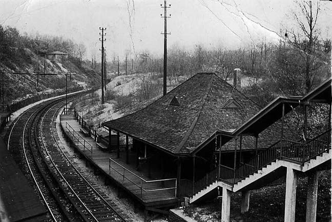
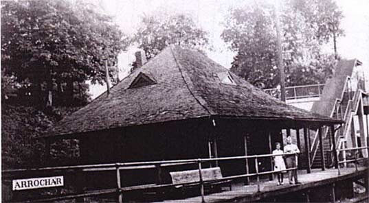
Though there are still some pockets of Arrochar that appear as if they have been transported from the 19th Century, the section surrounding the Arrochar SIRT station on Major Avenue is definitelynot one of them — this is a glimpse of a Staten Island that will never, ever return. ABOVE: Arrochar station, looking north. Today’s picture would include the Staten Island Expressway approach to the Verrazano Bridge.
Vintage SIRT photos are courtesy of Gary Owen’s excellent SIRT South Beach page.
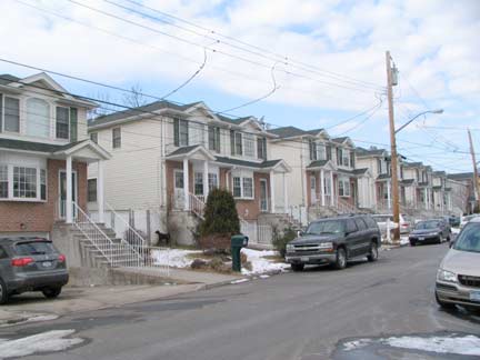
Railroad cut houses along Railroad Avenue.
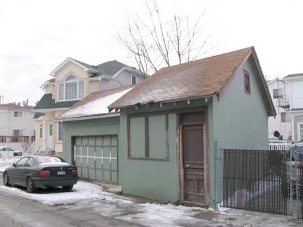
One room shack and garage, Jackson Avenue south of Robin Road.
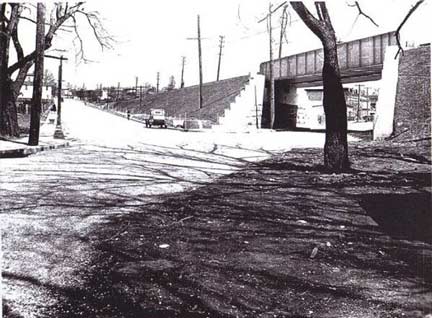
Late 1930s view of SIRT trestle at Robin Road and Austin Avenue.
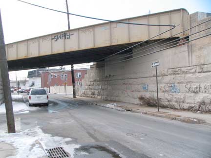
The trestle today.
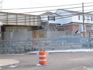
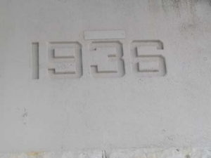
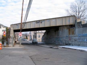
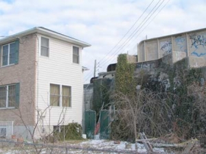
For some reason the city has steadfastly avoided dismantling the now-useless trestle spanning Robin Road between Austin and Doty Avenues, though it should be a simple matter that would take a couple of days, tops. When I first started surveying NYC for Forgotten New York in 1999, there were still wide swaths of SIRT open cut remaining, and plenty of trestle remnants, but 10 years alter only this trestle remains as well as a bridge stanchion here, a ramp there. Sick transit, Gloria. Housing has now filled in every inch of the open cut by now in this area.
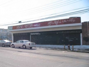
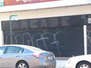
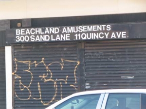
Why am I featuring a nondescript, graffitied building on Sand Lane opposite Robin Road? A closer look will reveal the faded word “Arcade” and the Beachland Amusements sign. This seems to be the last remnants of the lively amusement area that lined Sand Lane between about Cedar Avenue and Seaside Boulevard during South Beach’s glory days…
South Beach
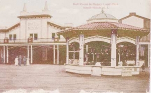
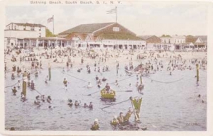
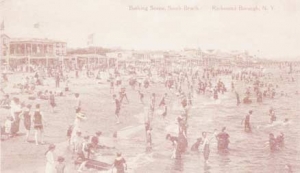
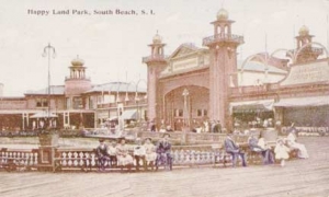
At the end of the 19th century, investors recognized the potential of the teeming beaches filled with New Yorkers trying to escape the city’s summer heat. With the addition of hotels, bathing pavilions, theaters, beer gardens, carousels and Ferris wheels, the beachfront property transformed almost overnight. On June 30, 1906 the Happyland Amusement Park opened its boardwalk doors. Taking full advantage of the summer closings of most Broadway theaters, Happyland’s amusements, stage productions, and vaudeville shows attracted thirty-thousand visitors on opening day. The amusement park continued to draw summer crowds for many years with attractions like the Japanese Tea Gardens, the Carnival of Venice, and the shooting gallery. Though the boardwalk resort thrived throughout the 1910s and 20s, fires, water pollution, and The Great Depression (1929-1939) took their toll on the beachfront resort area and the crowds eventually disappeared
In 1935 the beachfront property was vested to the City and underwent renovations as part of President Franklin Delano Roosevelt’s (1882-1945) Works Progress Administration (WPA). Providing jobs for Depression era workers, the WPA also revived the community of Midland Beach. By removing the deteriorating music halls, carousels, and shooting galleries, the project made way for the present two and a half-mile long boardwalk. In 1939 it was dedicated to the former New York governor and president and has since continued to undergo periodic renovations and neighborhood improvements.
On June 30, 1906 the Happy Land Amusement Park opened its boardwalk doors. Taking full advantage of the summer closings of most Broadway theaters, Happy Land’s amusements, stage productions, and vaudeville shows attracted 30,000 visitors on opening day. The amusement park continued to draw summer crowds for many years with attractions like the Japanese Tea Gardens, the Carnival of Venice, and the shooting gallery. Though the boardwalk resort thrived throughout the 1910s and -20s, fires, water pollution, and The Great Depression (1929-1939) took their toll on the beachfront resort area and the crowds eventually disappeared. rootsweb
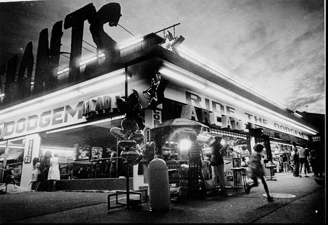
Despite the demise of Happy Land in the 1930s, boardwalk rides, amusements and concessions were a big part of South Beach’s appeal well into the 1980s, when photo left was taken. Staten Island Advance
When I was a kid our amusement area of choice was Coney Island, but South Beach was just as accessible to us especially after the R7 began plying the Verrazano Bridge. We were Brooklynites through and through, I imagine.
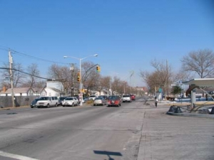
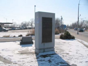
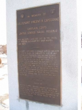
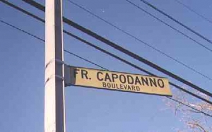
Father Capodanno Boulevard, né Seaside Boulevard, roars from Lily Pond Avenue along the Lower New York Bay shore southwest to Miller field in Midland Beach. It was originally part of a Robert Moses master plan to build an expressway along Staten Island’s southern shore. In 1975, the boulevard was renamed for Father Vincent R. Capodanno, a Navy chaplain who died in action, bringing Sacraments to wounded soldiers during the Vietnam War’s Operation Swift in the Que Son Valley in 1967.
Tale of 2 Bus Shelters
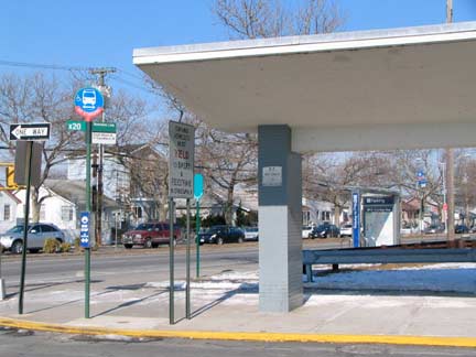
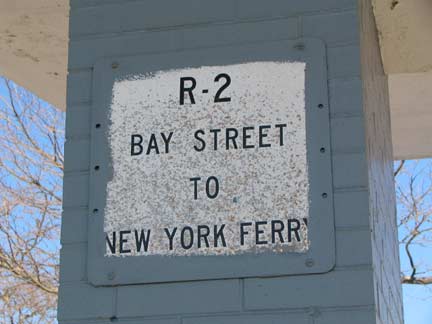
This bus shelter at Sand Lane and Fr. Capodanno Boulevard gets a periodic paint job, and the painters diligently avoid painting over a sign that’s outdated by about 30 years; the R2 is no longer running. The X20 express bus to lower Manhattan can be caught here, as well as the S52 running from Staten Island University Hospital to the ferry. The S51 from Grant City to the ferry also runs along Fr. Capodanno.
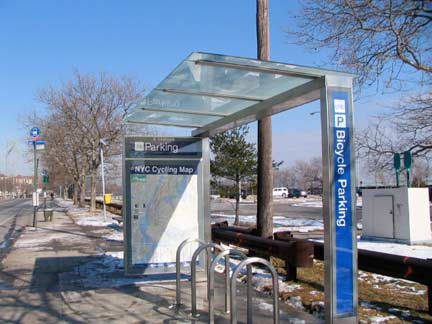
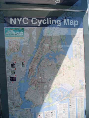
The city has found room in the budget (how, who knows) for a CEMUSA-type bike shelter, complete with map, adjoining the older bus shelter. Bikes use Capodanno as a quick route from Midland Beach to Arrochar. The Verrazano Bridge, however, was constructed without considerations for pedestrians or bicyclists; transit czar Robert Moses believed non-drivers were not worth consideration.*
*Moses never learned to drive, and was chauffered wherever he went. He was an excellent swimmer, however.
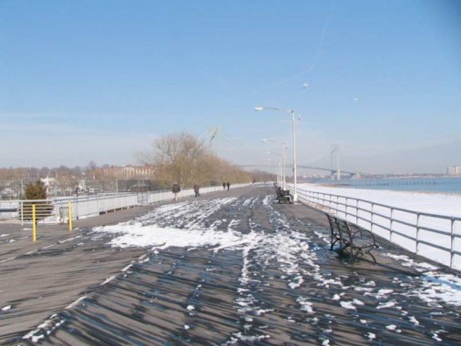
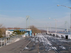
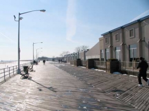
The Franklin D. Roosevelt Boardwalk, named while FDR was still in power, was built by the Works Progress Administration in 1939 and is one of the longest boardwalks in the world. NYC has two others in the top ten: the Coney Island Riegelmann Boardwalk and Ocean Promenade on the Rockaway peninsula.
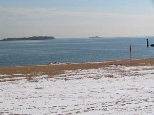
With the amusements long gone, a winter walk along the boardwalk isn’t extraordinarily interesting — south of here, it runs along a large swath of Staten Island that is shockingly undeveloped, with swamps and weed filled lots. A look out over the bay, however, reveals two islands created from landfill, Hoffman (foreground) and Swinburne (background). In the past, the islands have been used to quarantine immigrants suspected of disease and as military training stations. Today, they serve as bird sanctuaries. (LEFT: telephoto, Hoffman Island)
Marie Lorenz rows to Hoffman Island
SIRT Gone-worth
The Wentworth Avenue station, the terminus of the SIRT South Beach Branch, was forlorn even when it was open. The station was in a grassy field in the middle of nowhere with a short wood platform that could only accommodate one door of one car.
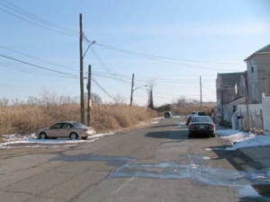
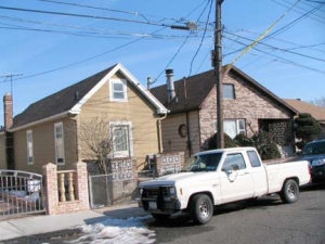
Wentworth, with its collection of small cottage-style residences, still trails off into nothingness.
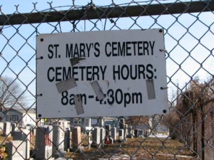
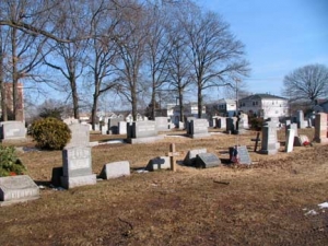
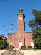
Though St. Mary’s Church is in Rosebank on Bay Street and Virginia Avenue, it has two small cemeteries in Arrochar, one of which is at Quintard Street and Reid Avenue.
By the Alphabet in Arrochar
Arrochar has a rough alphabetical system to its streets, but the order seems to have broken down over the years. For one thing, letters A through G seem to have been lost. The rest are, roughly, Hickory Avenue, Bionia (a puzzler until you realize that Ionia Avenue, in Woodrow, is already spoken for), Jerome, Kensington, Lamport Boulevard, Mallory, Norway, Oberlin Street, Parkinson Avenue, Quintard Street, Reid Avenue. S, T, and U are missing, but then there’s Vulcan Street, Winfield Street and Xenia Street. Older maps, if I can get hold of them, may tell the whole story, but I have not found any 19th-Century maps of Arrochar online, yet.
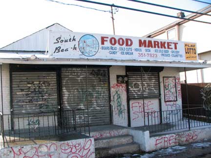
Food market, Norway and Appleby Avenues
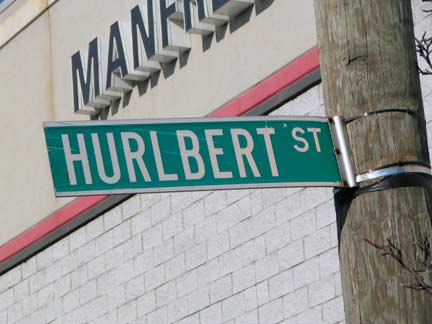
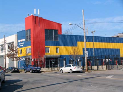
There will be more on this a little later, but I like it that Staten Island has a collection of sometimes quirky names for its streets — for every Gun Factory Road that has been lost, we still have a Fingerboard Road, and while we have a Hurlbert Street we also have a Murray Hulbert Avenue. At Quintard and Hurlbert (a corner combination that I don’t think is replicated elsewhere in the USA) we have the primary-colored Stop & Stor.
More former Staten Island names
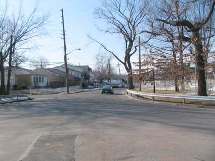
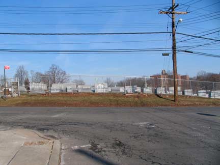
Quintard Street ends quietly at Ledyard Place, where Old Town Road begins. Actually in Arrochar we have just passed through the original 1660s Dutch “Oude Dorp” or Old Town, settlement. The larger “New Dorp” or Newtown, was founded a few miles south about ten years later. RIGHT: the short Ledyard Place leads to the other St. Mary’s Cemetery at Parksinson Avenue.
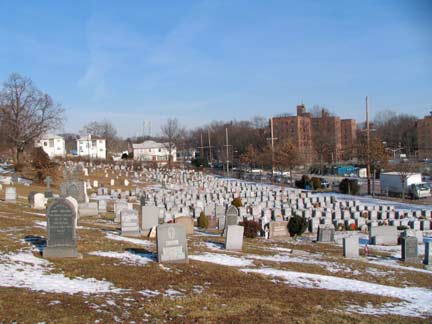
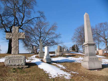
This St. Mary’s Cemetery is set on a hill overlooking the South Beach Houses complex, completed in 1950.
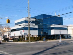
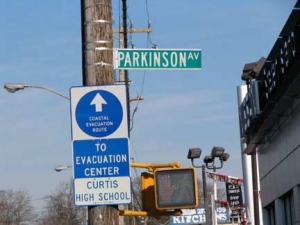
Attaining Parkinson Avenue and Hylan Boulevard, I couldn’t help but notice that the American Parkinson Disease Association building (the organization uses “Parkinson” not Parksinson’s) is at a street that has the same name of thediscoverer of the disease.
Coincidence, or is the organization a longtime presence here and perhaps the avenue was named for it?
Two Academies
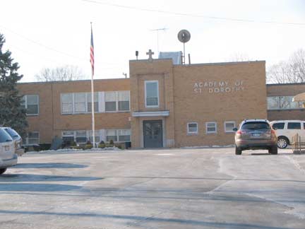
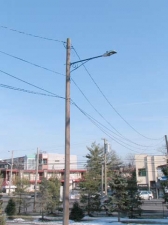
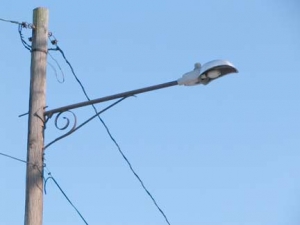
The Academy of St. Dorothy is a private school founded in 1932 on the former Goggi Brothers Estate, Villa Tocci, on Hylan Blvd. south of Parkinson Avenue; the Goggis were winemakers in nearby Stapleton.
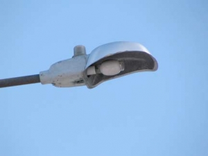
I was more interested in its collection of vintage 1960s Westinghouse SL200 mercury luminaires on scrolled masts that were much older than that.
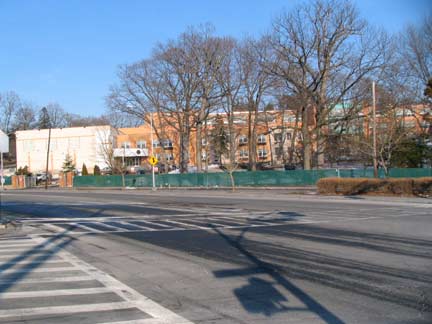
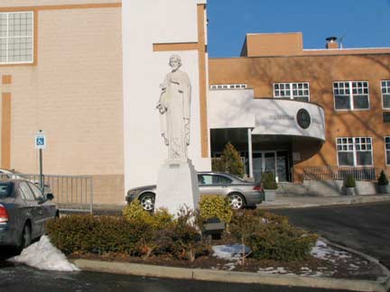
Traveling northeast on Hylan Boulevard to its intersection with Fingerboard Road and Sand Lane, we see the St. Joseph Hill Academy, part of the old MacFarland estate. The private Academy, run by the Roman Catholic Congregation of the Daughters of Divine Charity, provides co-ed grade school and high school education for young women. The W.W. MacFarland home can be seen on theAcademy’s web site. The Academy’s motto, “Summum Bonum,” “Highest Good” is emblazoned on the entrance hall.
Staats Circle
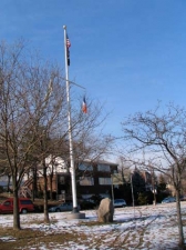
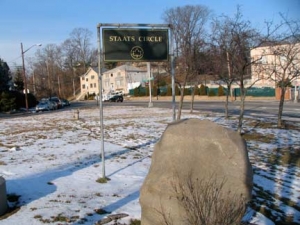
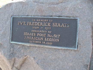
The traffic interchange at Hylan, Fingerboard Road and Sand Lane is marked by a flagpole and a boulder, commemorating a local soldier killed in World War I.
This park commemorates Staten Island resident Frederick Staats (1894-1918). Staats was born in the neighborhood of Rosebank on October 14, 1894. A resident of 1189 Bay Street, he worked as a brakeman for Staten Island Rapid Transit before registering for the draft on June 5, 1917. His draft card describes the young man as tall and slender, with blue eyes and dark brown hair. Private Staats was killed in World War I (1914-1918), on September 30, 1918, while serving in Company C of the 306th Infantry’s machine gun nest. NYC Parks
I knew I had heard the name “Staats” before — DeWayne Staats was the mustachioed Yankees TV announcer from 1990-1994. He currently does play by play for the Tampa Bay Rays.
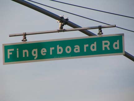
Technically, the fingerboard is the long strip of wood on a string instrument held by the fingers, which pluck the attached strings. While Staten Island has undoubtedly had its share of violin and cello players, its piquantly-named Fingerboard Road was named for something else…
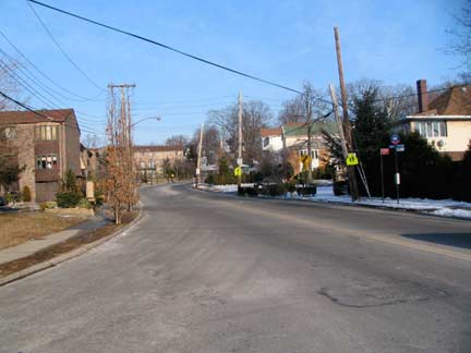
Fingerboard Road, looking northeast from Hylan Boulevard.
Fingerboard Road, which snakes through Arrochar and Concord, is one of the most curious names on the East Shore. It was previously known in the early 1800s as Roguery Hill Road because “a robbery and murder was once committed on a small elevation over which the road passes,” according to an 1877 history book. After a [finger-shaped] “guide-board and post” were erected at the start of the road, pointing the way to [the county seat at] Richmond Road, it began to be called the Fingerboard Road, and the name stuck. Virginia Sherry, SILive
A Drap o’ the Good Stuff
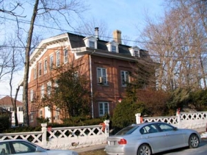
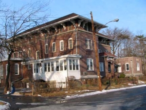
A wedge of Arrochar between Hylan Boulevard, Fingeboard Road and the Staten Island Expressway contains some of the island’s more beautiful houses.
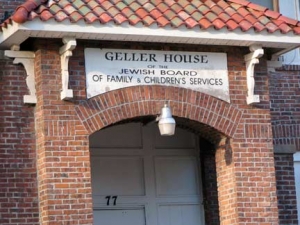
Geller House, Chicago Avenue between Columbia and Landis Avenues; corner, Columbia and Chicago.
For reasons yet unknown to me this area has four streets named for two midwest metropolises, Chicago and Cleveland.
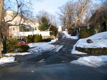
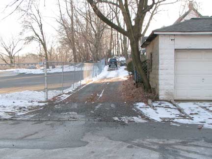
The area has a wealth of dead ends, cul-de sacs and demapped streets. Chicago Alley and Cleveland Alley are now private driveways.
Another Academy
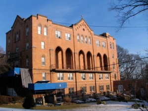
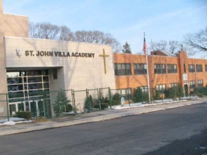
Actually, this is the back end of the original 1920s St. John’s Villa academy, but the front can be seen on its official website. St. John’s was founded in 1922 by theSisters of St. John the Baptist (the Baptistines) on the grounds of the former Clair Estate. Like St. Joseph Hill down the road, the academy operates a co-ed grade school and female-only high school. (Where is the nearest Catholic boys’ or co-ed high school?)
A newer building was opened in 1999 on nearby Landis and Chicago Avenues.
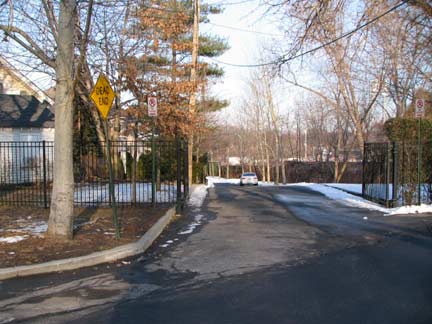
Possibly Staten Island’s shortest street (it has plenty of competition, though) is the unmarked Garson Avenue, issuing from Cleveland Place just north of the Academy. It has one residence on its length.
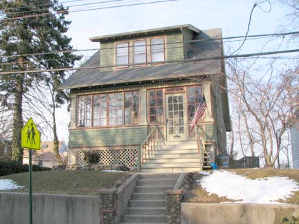
Cleveland Place house
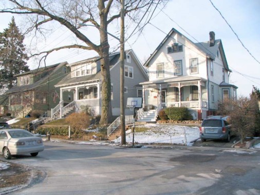
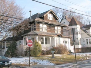
Trio of homes, Cleveland Place. The back windows or porches offer views of the Verrazano-Narrows Bridge.
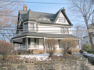
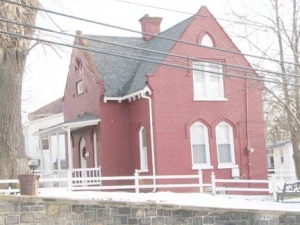
Picturesque, Queen-Anne style homes along Fingerboard Road between Cleveland Place and Columbia Avenue.
They don’t, or can’t, build homes that look like this any more.
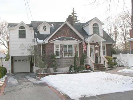
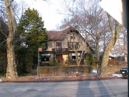
You would expect a cottage like this to be located on a street with a name like Pickersgill Avenue, and it is.
Gingerbread-type cottage, Pickersgill and Landis Avenues.
Whenever I see a reference to this street name I think of…
Pickettywitch – Same Old Feeling
…Pickettywitch. But that’s a potential story for Condensed Pop. Though the guy singing with Polly Brown in that video is hilarious.
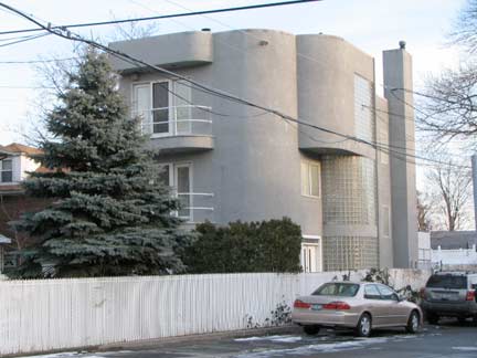
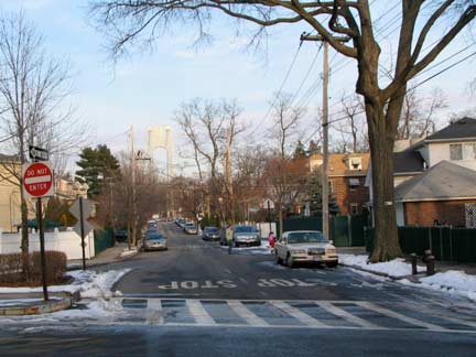
The audacity of ugliness. I nearly applaud the statement made in curved concrete and block glass by the developer of this building at Major Avenue and Pebble Lane — [s]he built it his/her way. Pebble Lane stands on the former Staten Island Rapid Transit right of way. RIGHT: Florida Avenue, looking toward dance studio on McClean Avenue.
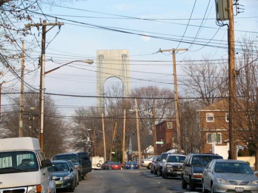
…and as the moon rises over the ‘Zano, time to leave Arrochar and cross the bridge on the way back to Forgotten headquarters in Little Neck.
Photographed February 8, 2009; page completed March 1
erpietri@earthlink.net
©2009 FNY

