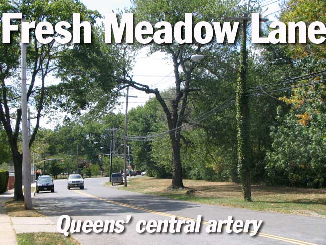
I resided in fab Flushing between 1993 and 2007, and during that time both on foot and by bike, familiarized myself with the older routes through the area including the maze of roads that used to delineate Rocky Hill Road, as well as the bicycle and jogging path that now follows the route of the Motor Parkway built as a toll road by William K. Vanderbilt in the opening years of the 20th Century. In the summer of 2010 I followed the twisting, turning route of Fresh Meadow Lane, which runs for a couple of miles from Flushing Cemetery south to 69th Avenue and Utopia Parkway (the much younger parkway assumes the southern portion of Fresh Meadow Lane’s old route from 69th Avenue south to Jamaica Estates).
Fresh Meadow, or Meadows (I’ve heard it both ways) is a section of Queens just south and southeast of Flushing. Though today it’s dominated by the giant Fresh Meadows housing project constructed in 1949 by the NY Life Insurance Company, the neighborhood is larger and can be considered to encompass the area from the Horace Harding Expressway on the north, Fresh Meadow Lane on the west, Union Turnpike on the south and Francis Lewis Boulevard on the east. It was named in contrast to Flushing: the small Dutch town of Vlissingen’s name, by some accounts, is derived from words meaning “salt meadow”; by contrast, the ponds of the region to its south were “fresh,” or non-saline.
The road that bisects Fresh Meadows from north to south had appeared on maps by 1873, and likely existed far longer than that; its twisting route may have been an Indian trail and before that, an animal trace.
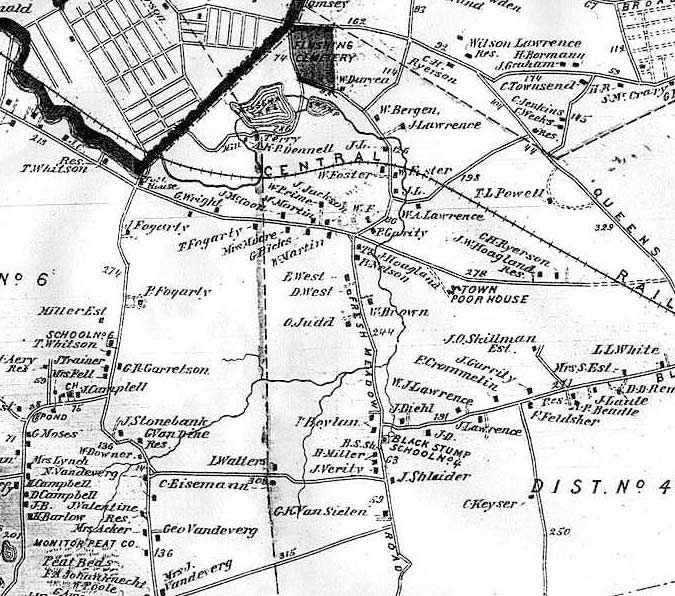
In this 1873 Beers atlas section, Fresh Meadow Lane, or Road as it was then called, can be seen as the vertical road in the center of the map running from Flushing Cemetery (opened in1853) south to beyond the bottom of the section. In those long ago days this part of Queens, still a New York county separate from New York City, was still mostly farms and fields, punctuated by only a few roads. Though most of these roads still survive today a 19th Century farmer or field hand, traveling to 2010 in an H.G. wells time machine, would recognize none of 2010 Fresh Meadows as opposed to 1873 Fresh Meadows. Virtually nothing is the same except for the cemetery. The Central Railroad of Long Island, built by Scottish entrepreneur and department store pioneer Alexander T. Stewart to connect Flushing and his new venture, Garden City, was a flop and closed shortly after this map was produced.
Only a couple of landowners’ names on the map are recognizable. The Lawrence family was well-known in Queens, all over the county; they produced a NYC mayor, and Lawrence family cemeteries can still be found in Astoria and Bayside. Lawrence Street was once a major Flushing north-south route until its names was changed to College Point Boulevard. (A small section at its southern end is still there).
The Black Stump School, on Fresh Meadow Road in the lower center, is now near the intersection of Utopia Parkway and 73rd Avenue. Part of Fresh Meadows had been called Black Stump because of the farmers’ habit of marking their boundaries by placing blackened, burnt tree stumps at property edges.
At the left side of the map, the other major north-south route, Jamaica Road, has now been assumed by Kissena Boulevard and Parsons Boulevard. Even that little jog in the middle has been retained and is today’s Aguilar Avenue.
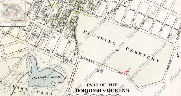
Let’s move forward a few decades to 1909 and the area surrounding Flushing Cemetery. The cemetery was established in 1853 and in the ensuing years the part of the town of Flushing closest to the cemetery began to be built up and streets laid out. Until the 1920s Flushing had its own street numbering system (hence the 19th through 24th Streets). At the time Fresh Meadow Road began at Queens Avenue, or Rocky Hill Road (today’s 46th Avenue), just east of 22nd Street (today’s 162nd) and wound around the west and south sides of the cemetery and proceeded southeast and south. That portion of Fresh Meadow Road is now called Pidgeon Meadow Road (I have yet to find out when or why it was renamed). Meanwhile, Auburndale Lane formed the eastern boundary of the cemetery, as it still does.
I began my fresh Meadow Lane walk at the corner of Auburndale lane at 46th Avenue…
GOOGLE MAP: Flushing Cemetery, Auburndale Lane, Fresh Meadow Lane
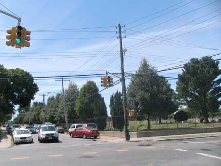
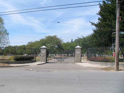
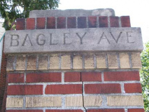
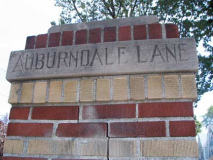
46th Avenue and Auburndale Lane; Cemetery gate, Auburndale and Bagley Avenues;
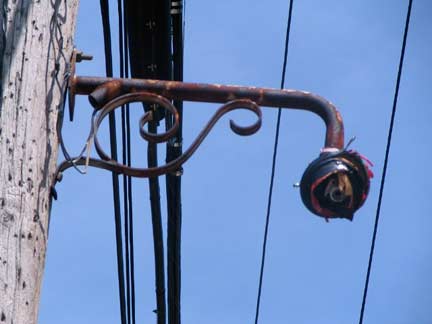
decommissioned fire alarm light mast, Auburndale and Bagley Avenues. (Short masts like this are relatively rare but can be found in a couple of areas in the Bronx and Queens).
The Flushing Cemetery Association was formed in March 1853; until that time, Flushing had many small church and family plots scattered here and there, but no large cemetery, and in April the Association bought approximately 21 acres from local farmers at 46th Avenue (then known as Queens Avenue), 162nd Street (then Fresh Meadow Lane) and what is now Pidgeon Meadow Road. Construction and landscaping proceeded apace and the new cemetery was dedicated August 31st.
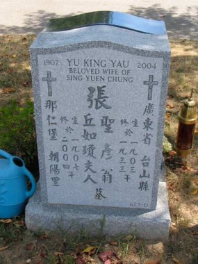
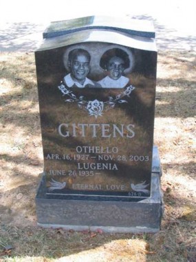
Flushing Cemetery is a “living” cemetery and interments here are still ongoing. As Flushing has become increasingly Asian-American, more and more Chinese and Korean-language monuments have appeared. The practice of rendering a photo of the deceased on the gravestone has been increasing in popularity in recent years.
Louis Armstrong is the most noted interment in Flushing Cemetery. Musicians Dizzy Gillespie (whose plot is not marked by a monument), Hazel Dorothy Scott and Johnny Hodges, US Congressmen Thomas B. Jackson, John Lawrence, Lemuel Quigg, Frederic Storm, Elmer Ebenezer Studley and William W. Valk, author and pastor Adam Clayton Powell Senior, financier Bernard Baruch, restaurateur Vincent Sardi, Civil War hero and winner of the Congressional Medal of Honor, College Pointer Pvt. Carl Ludwig are all interred in Flushing Cemetery.
Between Auburndale Lane and Utopia Parkway south of 46th Avenues is a collection of one-and two block streets named in alphabetical order: Ashby, Bagley, Courtney, Effingham, Fairchild and Gladwin. (47th Avenue is in place of the “D” avenue.) The avenues are lined with neat two-story detached homes with lawns.
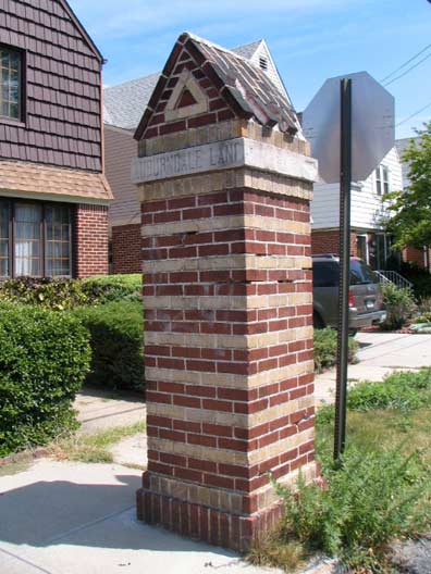
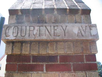
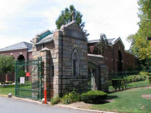
Of chief interest to me were the handsome, red and gold-bricked gateposts on Bagley and Courtney Avenues; Ashby Avenue is missing its pair, and only Courtney Avenue’s gateposts are still complete with the original pyramid-shaped cap. The avenues south of Courtney don’t have the gateposts; I have a 1940 map of the area that shows only Ashby, Bagley and Courtney Avenues, and I imagine the remaining avenues in the development were constructed after World War II, since a 1949 map shows them there. I suppose Effingham through Gladwin didn’t receive the gateposts their brothers did.
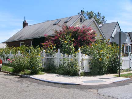
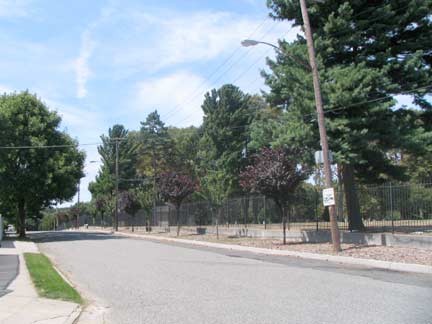
I followed Auburndale Lane along the southeastern edge of Flushing Cemetery; it’s actually the original route of Fresh Meadow Road. Here, one of Gladwin Avenue’s cottage-style homes has a rich and verdant garden.
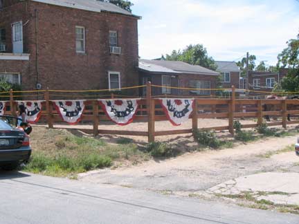
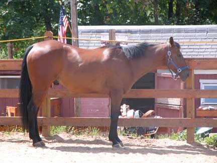
At Pidgeon Meadow Road and Auburndale Lane (Pidgeon Meadow Road limns Fresh Meadow Road’s old route along the southern edge of Flushing Cemetery) is a remnant of the rural past: the West Side Riding Club serving the Kissena Park bridle path. If you wander past stop over and ask for Buddy the horse.
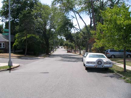
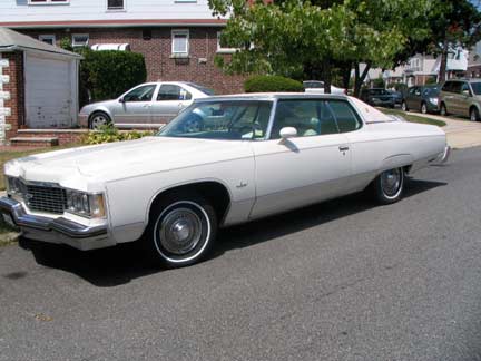
Fresh Meadow Lane proper begins at the intersection of Auburndale lane and 47th Avenue and meanders south. I found this Chevy Impala at the beginning of FML. What year? The consensus amoing FNY readers is that it’s a 1974 Chevy Impala.
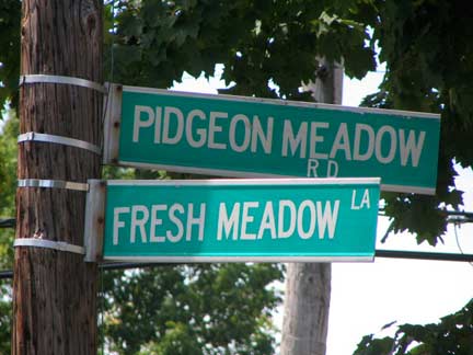
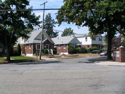
Know your Meadows at the intersection of Pidgeon Meadow and Fresh Meadow. There was also, of course, Audrey and Jayne Meadows.
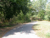
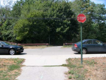
After passing Underhill Avenue, Fresh Meadow Lane crosses an open area and a dedicated bike path. It’s part of a continuous bikeway running through the Kissena Park Corridor, connecting Flushing Meadows-Corona Park with the old Motor Parkway, which originally ran from western Nassau County to Lake Ronkonkoma; it was extended west into Queens in 1926. Parts of it remain as pedestrian and bike paths, and in Suffolk County, for auto traffic. Going back even further, between 1872-1874, this was where Alexander Stewart’s Central Railroad of Long Island crossed Fresh Meadow Lane, and even nearly 130 years later, it’s still possible to envision steam engines chuffing their way through. See my links for the Motor Parkway and CRLI above. Interestingly, the bike path has its very own stop sign here, one of the very few for non-auto traffic.
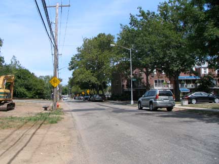
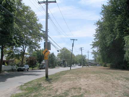
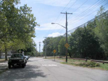
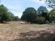
South of the bike path Fresh Meadow Lane meanders south alongside the Kissena Park Golf Course. Here, more than anywhere else, it’s possible to visualize Fresh Meadow Lane as the rural farm to market road it once was. Not even a sidewalk on the west side!
Kissena Park Golf Course, and the Clearview Golf Course a couple of miles to the north, are the survivors of a number of golf courses that dotted the borough in the early years of the 20th Century. As this NY Post article explains, some of Queens’ golf courses were top-ranked before succumbing to increasing population and concomitant development.
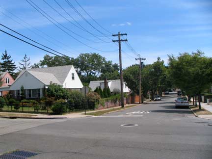
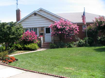
The corner of Fresh Meadow Lane and 50th Avenue looks routine enough, but 50th Avenue is a very old road formerly called Lawrence Road (likely led to one of the many Lawrence family properties in the area). Well kept homes line the road here with lawns kept fastidiously green despite the drought of the summer of 2010.
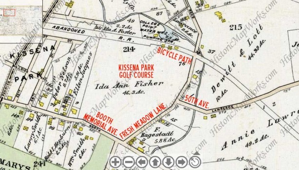
Returning to the 1909 G.W. Bromley map (which I’ve marked in red with today’s place names) we see Fresh Meadow Lane winding past Ida Ann Fisher’s property, today occupied by the golf course; I hope Ida or her family got a good price. The Central Railroad right of way can be clearly seen, and indeed is still clearly discernible on today’s map as it is filled with a narrow extension of Kissena Park. I doubt that one in a hundred area residents know it used to be a railroad though! We are nearing another major intersection, one of the oldest in northeastern Queens…
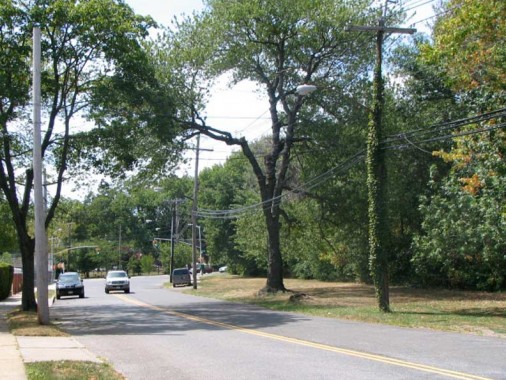
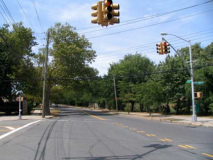
Fresh Meadow Lane is at its suburban-est as we go south and approach Booth Memorial Avenue.
Booth Memorial Avenue has been one of northeast Queens’ major east-west routes since the 1800s at least, even though it seems plopped down on the map, not seeming to connect any two major areas. Until 1957 it was known as the North Hempstead Turnpike, even though it doesn’t approach the town of North Hempstead, which was a part of Queens County until 1898, when it became part of the new Nassau county.
Until the early 20th Century, the portion of the road from Strong’s Causeway (which crossed flushing Meadows before being supplanted by Horace Harding Boulevard, now Long Island Expressway) to Jamaica Road (now Kissena Boulevard) was called Ireland Mill Road, no doubt because of Ireland Creek, now one of the waterways in Flushing Meadows Park.
In 1957, Booth Memorial Hospital, named for William Booth (the founder of the Salvation Army) moved to N. Hempstead Turnpike and Main Street, and the road was named for the hospital.
In 1992, the hospital became an affiliate of the New York Hospital-Cornell Medical Center. The following year — after a long history as Booth Memorial in both Manhattan and Queens — the hospital was renamed The New York Hospital Medical Center of Queens. Several years later, while retaining this name legally, for ease of use it was shortened to New York Hospital Queens. New York Hospital Queens
This time, though, Booth Memorial Avenue didn’t change names, and so it continues to honor a hospital that’s no longer there. Or, perhaps, it can be said to honor William Booth. The avenue once ran east as far as Hollis Court Boulevard but was cut back when Fresh Meadows Housing was built in the late 1940s.
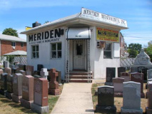
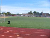
ABOVE: Fresh Meadow Lane intersects Booth Memorial Avenue at the back edge of the Francis Lewis High School Athletic Field (above right). Meriden Monuments, meanwhile, serves Mount Saint Mary’s Cemetery:
I’m not sure about the history of Mount Saint Mary’s Cemetery, 172-00 Booth Memorial Avenue. It’s a Roman Catholic cemetery whose boundaries are Booth Memorial Avenue, 164th Street, Fresh Meadow Lane, and just north of the Long Island Expressway. It’s not on the 1873 Beers map, but does turn up on the 1909 Bromley, so it was established between those two years. Not sure when the “Mount” was added either — my maps all have just plain “St. Mary’s Cemetery.”
I was unaware of it before researching this page, but two founding members of the 1970s band New York Dolls are interred here: John “Johnny Thunders” Genzale and Jerry Nolan.
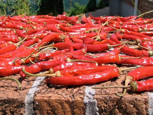
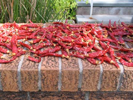
Found some peppers laid out on a brick fence on Fresh Meadow Lane near 59th Avenue. Is this supposed to ripen them better? Seems to me the birds and bugs will have a feast.
ForgottenFan Dave Cuneo: Those are cayenne peppers and the gardener who grew them is drying them. They will last many years once dry. I dry mine in my living room but I suppose sunshine is quicker. Takes a few weeks though.
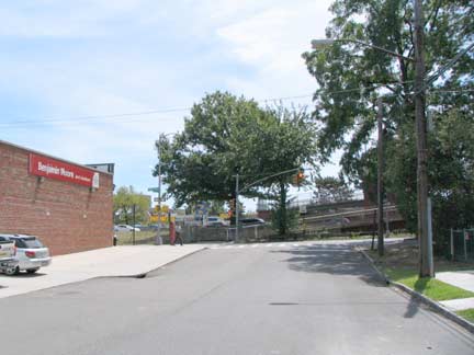
Fresh Meadow Lane is effectively divided into a north and south section by the Long Island Expressway, constructed in stages between the Queens-Midtown tunnel and riverhead, Suffolk County, from the late 1930s to the early 1970s. The expressway follows the route of the former Nassau Boulevard, later Horace Harding Boulevard. But who was the mysterious Harding?
Horace J. Harding (1863-1929), a prominent banker with a devotion to transportation issues. Harding directed the New York, New Haven and Hartford Railroad Company, and the New York Municipal Railways System. He supported a Long Island State Park Commission plan in the 1920s to build a scenic parkway from Queens to Nassau County, and also urged the construction of a highway from Shelter Rock in Nassau County to Queens Boulevard, a road eventually named after him. NYC Parks
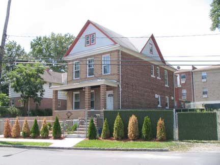
I liked the two tone brick at the front of this Fresh Meadow Lane house. Too bad they couldn’t carry it all the way…
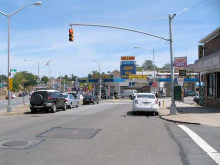
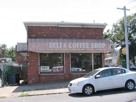
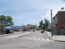
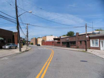
As I’ve said, the Long Island Expressway divides Fresh Meadow Lane into effectively two sections, and while the Fresh Meadow Lane north of the LIE is rather suburban and even retains elements of rurality, the FML south of the LIE is a different animal — definitely urban. Queens-style urban — not Manhattan-style urban — but definitely of the city. LEFT: Horace Harding Expressway service road looking toward FML and a Sunoco station; right: deli, HHE and 173rd Street.
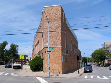
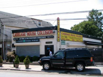
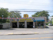
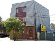
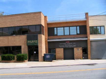
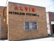
FML looking south from the LIE. It’s quite possible that there had been a carriage house here before auto repair and spare parts shops sprung up here during the 20th Century. A candidate for Queens’ ugliest building, possibly inspired by Darth Vader’s helmet, SE corner of Fresh Meadow Lane and 65th Avenue.
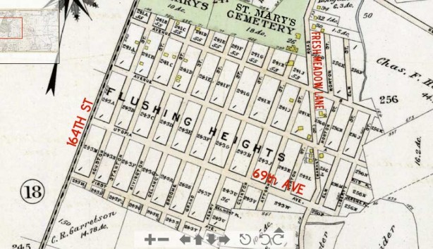
The southernmost section of Fresh Meadow Lane passes along the eastern edge of an early 20th-Century development known as Flushing Heights but also as Utopia. The Utopia Land Company acquired about 50 acres here in June 1905 and planned to build a cooperative development for Jews then living in the Lower East Side. Note the names on the map: 1st Avenue, Avenue A, Avenue B, Houston, Stanton, Rivington, etc. The company ran out of money and the area was never developed according to plan, but the streets that were laid out were absorbed into Queens’ street layout. The development has another legacy: Utopia Parkway, constructed north to south in stages from Whitestone south to the Grand Central Parkway in Jamaica Estates. It was completed in the 1940s, a few decades before the Fountains of Wayne named a hit album for it.
Probably Utopia Parkway’s most notable resident was artist Joseph Cornell (1903-1972), many of whose “shadow boxes” made of found materials and everyday objects can be found in the Museum of Modern Art and his notes at the Smithsonian Archives of American Art.
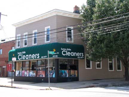
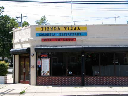
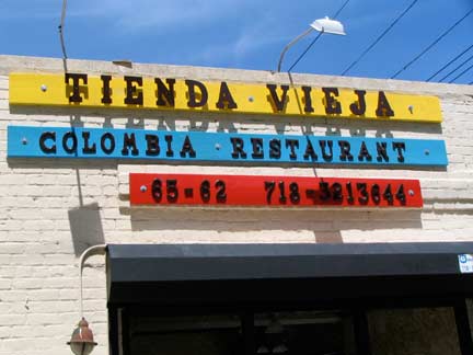
“Old Grocery” Restaurant, am I right? I liked the primary-color scheme at FML and 67th Avenue.
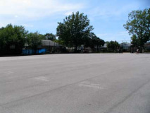
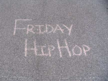
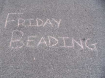
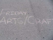
At the vast expanse of concrete known as the Fresh Meadows Playground on 67th Avenue and FML, the Fridays are just packed.
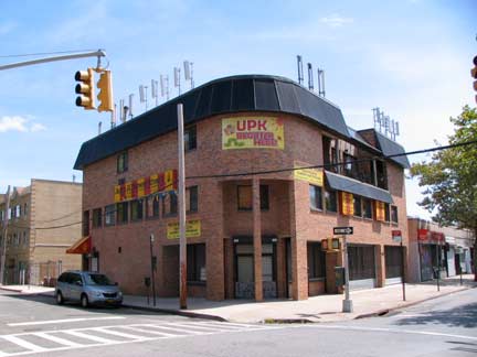
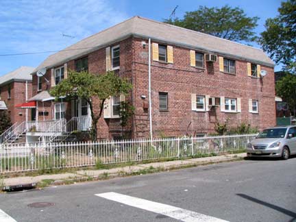
I liked the two story residence here at 68th — the shutters are a nice touch.
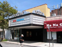
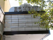
From a previous FNY Fresh Meadows page: For years, when I lived in Bay Ridge and I’d bike out to Queens, the deli next to the old Mayfair Theater was where I would stop to get a drink. At the time (the late 1970s), the Mayfair had gone Triple-X. It’s now the Bombay and plays Bollywood fare and other films made in India. In the 1960s, this was the theatre patronized by the Weinstein brothers, Harvey and Bob, of Tinseltown fame, according to a post at cinematreasures.
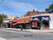
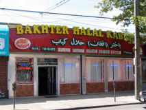
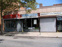
There’s a small shopping and dining area on Fresh Meadow Lane between 68th and 69th Avenue, many of them long standing with storefronts and doors from sometime in the last century.
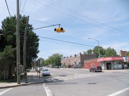
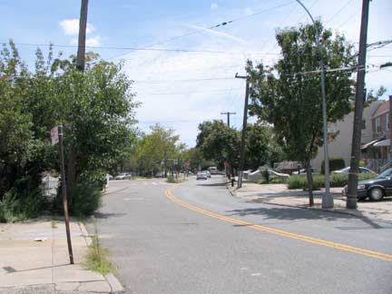
Though both Fresh Meadow Lane and 69th Avenues can get pretty busy at times, their intersection is still controlled by a single blinking Cyclops traffic light.
At 69th Street, FML makes its final curve into Utopia Parkway just north of Jewel Avenue. Utopia Parkway assumes FML’s old route from Jewel Avenue south to Jamaica Estates, running past St. John’s University.
8/29/10





1 comment
[…] A map of the early 20th century Utopia that was never built. Source: Forgotten NY. […]
Comments are closed.