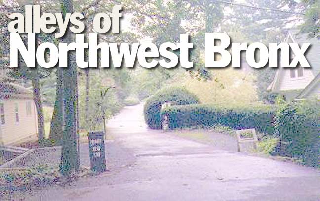
This Alleys page takes us to the most northwestern part of New York City, Riverdale, which some say has more in common with NYC’s suburbs to the north than it does the rest of the Bronx. A stroll through Riverdale would certainly bear that out, as well as reveal a cache of tiny alleys…some of which are hardly known even to long-time Riverdale residents!
Dodgewood Road, Hudson River Road, Delafield Lane
The centerpiece of a rural real estate development known as Dodgewood estates, Dodgewood Road is a country lane between Arlington and Independence Avenues south of West 247th Street. It was once part of the estate belonging to William Earl Dodge, whose home, Greystone, still stands on West 247th Street.
Unmarked by the Department of Transportation,Delafield Lane parallels West 246th Street between Arlington and Independence Avenues. Named for Joseph Delafield, who owned the land here in the 1820s.
In 1829, Major Joseph Delafield, president of the Lyceum of Natural History in New York, acquired the 257-acre Hadley farm in (then) Yonkers that spread eastward from the shore of the Hudson River. Delafield named his estate Fieldston after his family’s seat in Ireland, and established a profitable lime kiln on the property in 1830. NYC.gov
Impressive Hudson River views can be had from the homes along Hudson River road, a private, dead end road north of West 254th Street where it meets Sycamore Avenue, just north of Wave Hill.
Spencer Place
One of Yonkers’ few remaining signposts marks Spencer Place and Leighton Avenue. L-shaped Spencer Place, at Spencer Avenue north of West 263rd Street, is partly in Yonkers and partly in the Bronx. Spencer Avenue becomes Leighton Avenue in Yonkers, and Spencer Avenue begins there and then curves back south into the Bronx.
There’s something for signs fans at Spencer Place…a Yonkers signpost and a regulation green and white NYC sign.
Suggested by Rich Vita
Thorne Lane, Vimont Road, Ploughman’s Bush
Thorne Lane is a one-block alley between Huxley and Spencer Avenues north of Mosholu Avenue. According to Bronx historian John McNamara, wealthy merchants named Thomas and William Thorn had a grain and feed warehouse on Spuyten Duyvil Creek in the 1880s.
Vimont, or Vinmont, Road is a dead-end semicircle at Mosholu Avenue and West 254th Street. Dwellings on the road originally belonged to the Weinberg family, which translated into French is “vinmont” or vineyard.
Ploughman’s Bush is another private dead-end street stretching north of West 246th Street into the Dodgewood estates near Independence avenue. It was given its unusual name by original landowner Robert Field in 1930. It’s unknown what the unusual name pertains to.


