The Franny Lew
As the roadbed of 47th Avenue, Rocky Hill Road crosses Francis Lewis Boulevard, the lengthiest road contained completely in Queens, stretching generally north to south from Whitestone to Rosedale. The oldest part of the road is in Whitestone and carried the name Whitestone Road when first laid out around 1900. As it was extended south in the 1920s it became Cross Island Boulevard.
Francis Lewis (1713-1803), a Welshman by birth, arrived in New York in 1734 and moved to Long Island in 1775; he became a delegate to the Second Continental Congress from New York. Shortly after he signed the Declaration of Independence, the British destroyed his home and property and took his wife prisoner for several months; she died shortly after her release. Lewis lived in poverty for the rest of his life.
The boulevard is a relatively recent arrival. It doesn’t appear on maps until the 1920s, was initially called Cross Island Boulevard, and initially extended only as far as Springfield Boulevard. Probably to avoid confusion, it was renamed for the Queens patriot at about the same time as Robert Moses’ new Cross Island Parkway, the eastern end of the Belt Parkway system, opened in 1940. It assumes the paths of other Queens streets and avenues as it zigs and zags around Montefiore Cemetery on the way to Rosedale.
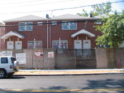
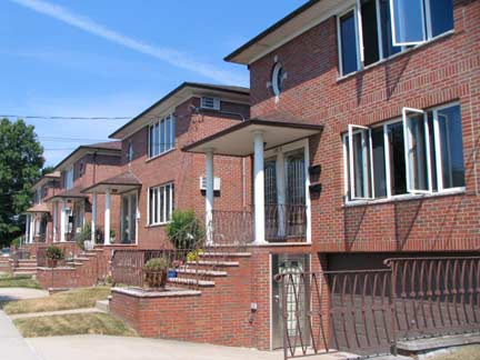
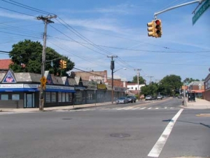
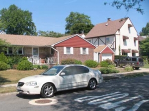
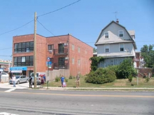
I spotted my first load of Queens crap-itecture on 47th just west of the Frannie Lew. This is the present face of ‘affordable’ residential architecture.
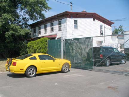
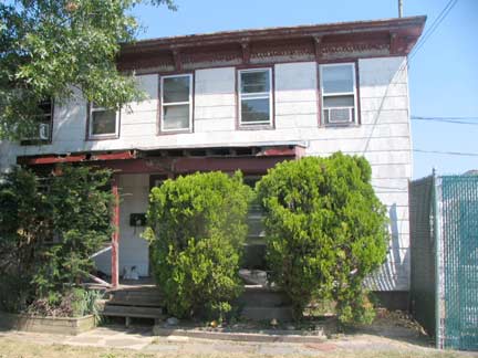
Just to the west, though, is an old Rocky Hill Road hand that is indeed showing its age, from the roof eave corbelling to the fact that it seems to be held together with scotch tape. This is likely one of the older RHR survivors.
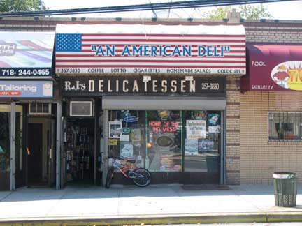
At 195th Street: R&J Deli’s older brown and white sign shows through underneath a new awning. It was too early in the day to go in and ask for The Big Mess.
The deli is 110% American. Are you?
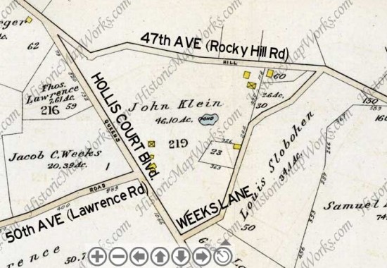
Let’s go back to the 1909 Bromley — note that little bend in Rocky Hill Road just east of Hollis Court Boulevard. Well…
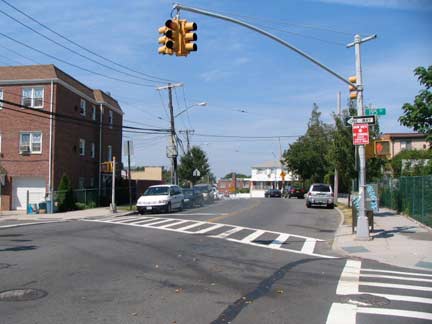
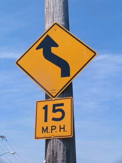
… it’s still there, to my strange fascination. When Rocky Hill Road was laid out — and I know it’s as old as the antebellum period and probably earlier than that — it acquired this slight bend to guide wagon and equine traffic up a slight rise with ease. The grade would have been steeper had this bend not been there.
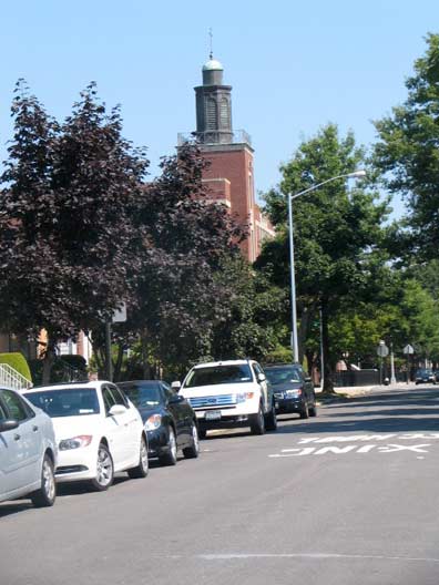
A steeple at 195th attracted my attention — this is the Roman Catholic parish of St. Kevin, named for themedieval-era Irish saint.
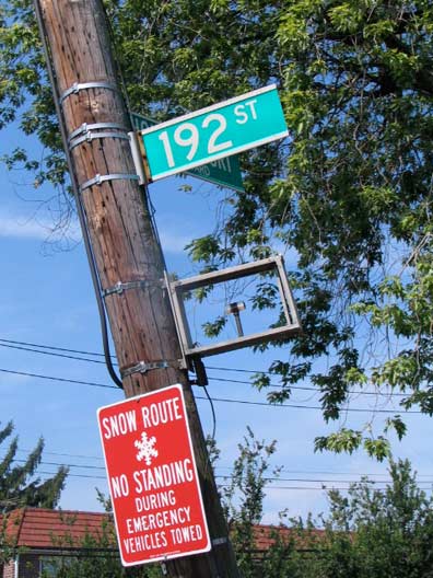
At the V formed by 47th Avenue (Rocky Hill Road) and Hollis Court Boulevard, at 192nd Street a telephone pole holds a metallic rectangular object, with what appears to be a fixture for a light bulb inside.
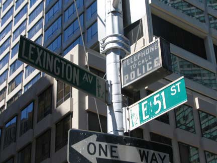
It was an indicator for an NYPD call box. Before 911 and long before mobile phones, and even before the days when police alerts could be called in from fire alarm boxes, there were dedicated telephones to call police in emergencies attached to light poles all over town. The ghosts of the indicator lights for these phones can still be found here and there.
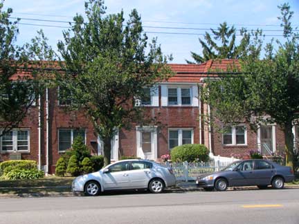
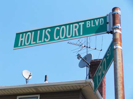
As we’ve seen, Hollis Court Boulevard recollects a long-ago real estate project in Bellaire with a British theme. There are some handsome brick attached homes near its intersection with 47th Avenue.
Between 192nd street and Utopia Parkway — “Utopia” was the name of a 1905 real estate project in the area that originally employed street names from the Lower East Side like Ludlow, Hester, Division and Essex — but the plan was abandoned after funds could not be secured. The north-south main street through the development — Utopia Parkway, named for the 1516 Thomas More work about an ideal society, was retained. (Henry Stern playfully named a traffic triangle on the parkway Erewhon Mall, after an 1872 novel by Brtish writer Samuel Butler.
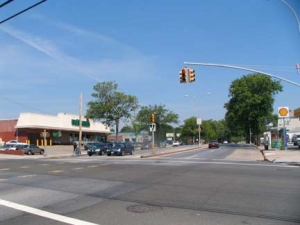
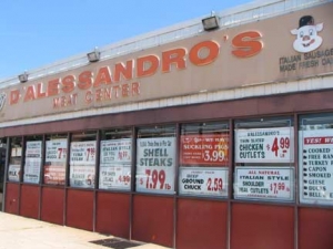
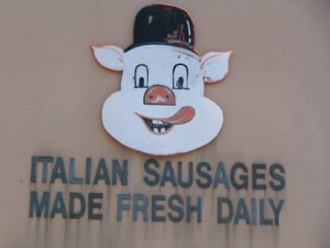
Pork stores and delis are often accompanied by likenesses of animals — mostly pigs and fowl –taking ghoulish delight in the demise of their fellow creatures.
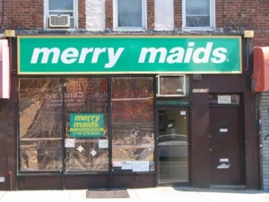
At Utopia Parkway, the old path of Rocky Hill Road becomes plain old 46th Avenue, whose path it will assume all the way west into Flushing. I noticed a couple of signs just past the intersection:
I keep wondering that if I call the French Cleaners or Merry Maids, the van will arrive and out come the French cleaners and merry maids, who look like this.
I can dream can’t I…
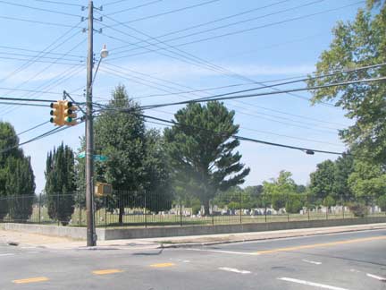
At Auburndale Lane and 46th Avenue, the old Rocky Hill Road path (once also known as Queens Avenue) forms the northern boundary of Flushing Cemetery. The beloved “Satchmo,” Louis Armstrong, musicians Dizzy Gillespie (whose plot is not marked), Hazel Dorothy Scott and Johnny Hodges, US Congressmen Thomas B. Jackson, John Lawrence, Lemuel Quigg, Frederic Storm, Elmer Ebenezer Studley and William W. Valk, author and pastor Adam Clayton Powell Senior, financier Bernard Baruch, restaurateur Vincent Sardi, Civil War hero and winner of the Congressional Medal of Honor, College Pointer Pvt. Carl Ludwigare all interred in Flushing Cemetery.
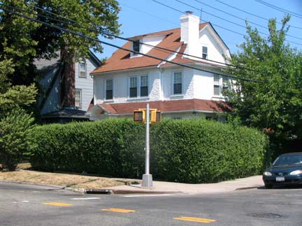
Architecture along the cemetery is eclectic and interesting, such as this white stucco house at Auburndale and 46th.
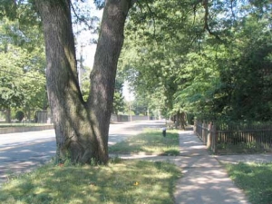
46th Avenue rolls on in a curving route past the 1853 cemetery, which must look much like it did when it first opened. Houses in many styles, many with wide lawns, have a good view of the grounds.
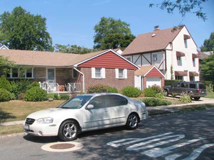
Ranch house and 3-story stuccoed Tudor with an unusual window arrangement at 167th Street.
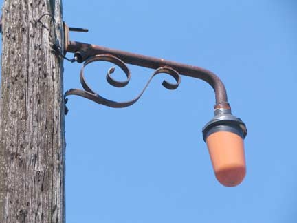
On 46th Avenue and also Auburndale Lane, there are a couple of these unusual ‘junior’ fire alarm lights, with short masts and scrollwork. I’ve also seen a couple of these in the Bronx.
Old Towne of Flushing Burial Ground
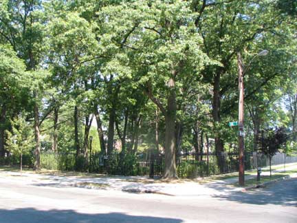
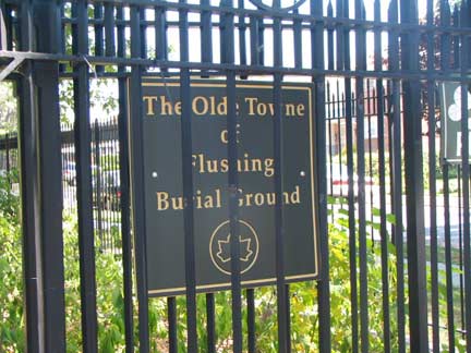
Between 164th and 165th Streets across from Flushing Cemetery, a clump of green marks a very unusual smaller cemetery. For decades this was a public park with a playground fronted by a concrete sitting area with park benches called Martin’s Field. The area had been a park since 1914, and was named for conservationist Evertt P. Martin in 1931., with the playground built in 1936 under the auspices of the Works Progress Adminstration.
However: for decades prior to that the field had been used a a burial ground for African and Native Americans as well as some white area settlers — it had been established as a cemetery as long ago as 1822:
The land was initially a burial site for victims of plagues such as smallpox, cholera and yellow fever. From 1822 until the 1870s neighborhoods in Queens were greatly affected by these illnesses until a centralized water system was introduced. Purchased by the Town of Flushing in 1840, the site is home to approximately 800 to 1,000 individuals buried over several decades, the majority of whom were African-Americans and Native Americans. There were also a number of poor whites who, along with wealthier residents, died during the cholera and smallpox epidemics in 1840, 1844, 1857 and 1867, buried as well. Their bodies were considered too contaminated for a proper churchyard burial. Half of those buried are children five years old or younger.
“The African Americans who worked the fields of Flushing as slaves from Francis Lewis’ farm to the farm that once stood in this spot worked hard and wanted to make a difference and want us to remember what they went through,” City Councilmember Dan Halloran said.
According to [activist Mandingo] Tshaka, the plots were indiscriminately arranged, often, unmarked and as shallow as six inches below the surface. The last burial was in 1898, the year of the city’s consolidation. Queens Gazette
The future goal is for the city Dept. of Parks and Recreation to install an obelisk and four small headstones in the three and one half acre park that will replace the original tombstones that were removed by the WPA in the 1930s. The tombs would serve as an everlasting reminder that the land is indeed a cemetery.
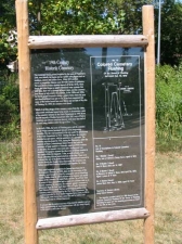
The original tombstones were those of Willie, son of Alfred and Fanny Curry who died at four years of age in 1874 and George H. Bunn, who died Jan. 13, 1887 at the age of 17 and Alfred E. Bunn who died at three years of age on Apr. 7, 1876. The final tombstone belonged to the grave of James Bunn, who died on Aug. 3, 1890 at the age of 53. All tombstones were made of marble and listed as being in good condition in an Oct. 10, 1919 survey conducted by the Queens Topographical Bureau that listed the land as the “Colored Cemetery of Flushing”. Queens Gazette
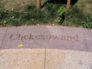
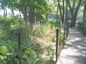
Recently the grounds have been protected against vandalism by installing wire fences surrounding the pathways. Names of Indian tribes are embossed in the sidewalks.
Bridge and Tunnel Club page
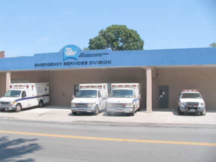
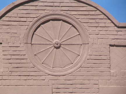
I hadn’t noticed the garage next to the burying ground, or paid much attention to it, but today I noticed the wheel motif on 164th. It’s been here a long time — this was a 1920s feature.
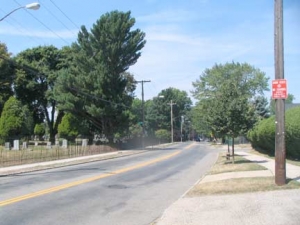
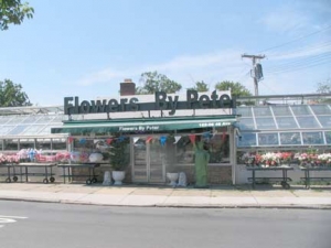
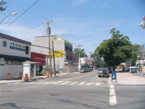
At the cemetery entrance at 162nd Street, Pidgeon Meadow Road and Flowers By Peter, Rocky Hill Road (46th Avenue) fades into the maze of eastern Flushing streets. Rocky Hill Road was one of the first roads to traverse the fields, farms and empty tracts of eastern Queens.
And it’s all still there!
Page photographed July 5, 2010. Page completed July 11, 2010.







3 comments
Denver house cleaned is very important for your family! Have your denver cleaning taken care of this evening!
May not be of importance, but a sign at Hollis Court + 191st Street spells it as “HOLIS COURT BLVD” incorrectly. It’s something to laugh at until the Clearview signs come in (they’re popping up around the area).
Does anyone know that there was a place called Rocky Hill in 18th-19th century Queens County. At least a member of the Kissam family had a house there according to The Kissams in America genealogy book. I’ve been trying to find where it was. Often roads were named for the places they led to. I wonder if Rocky Hill Rd and Rocky Hill are actually related to one another?