In my collection of NYC books I think I can count the number of books on (exclusively) Staten Island with two hands. There’s Holden’s Staten Island, Secret Places of Staten Island, any one of John Sublett’s self-published Staten Island books, and Staten Island neighborhoods in the Arcadia photo books series. Not one of those books are on a major publishing house imprint (though Arcadia does have hundreds of editions nationwide). In my edition of New York City Landmarks, Staten Island takes up 35 pages out of 452; in the AIA Guide to New York City, Staten Island takes 53 pages out of 1056. In Forgotten New York the Book, I give Staten Island what I feel is a decent portion, 55 pages out of 360.
So I walk the Staten Island hills, snapping away at anything remotely interesting, and consult the wilderness of the world wide web for any scattered information. I was determined to walk plenty of streets that the AIA Guide or NYC Landmarks Preservation Commission people have apparently never been. (Though the buildings on St. Paul’s Avenue and some of the immediately surrounding streets are protected by the Landmarks Commission, and FNY and tourgoers were guests in a couple of those homes in a 2014 ForgottenTour, none of the other areas have been granted protection.)
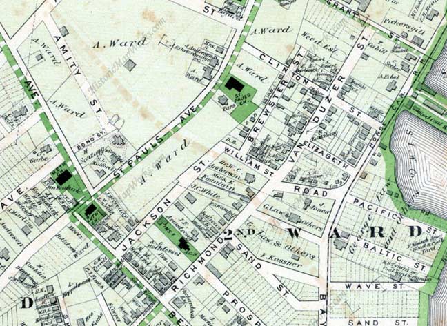
At the part of town where Tompkinsville bleeds into Stapleton, this map from 1873 works just as well as any Google map from today does, and many of the buildings themselves predate 1873. When I last left off in Part One, I was meandering down Brewster between Clinton and William Streets. The gray boxes on the map are buildings and I undoubtedly are passing the very same houses that are marked on this map.
GOOGLE MAP: St. George—Tompkinsville—Park Hill—Stapleton
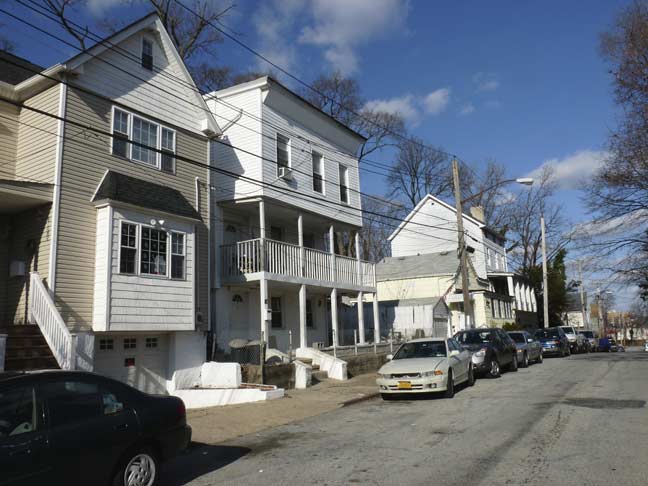
More of the Brewster Street houses. Time and aluminum siding has dimmed their individuality but you can see the “good bones” as real estate agents say. In the center is one of my favorite constructs, the double porch, which is seen a good deal around here.
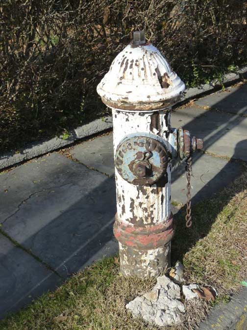
“Bicentennial hydrant” on Brewster near William. There were two separate occasions when locals painted fire hydrants red, white and blue, matching the US flag colors; the first was during bicentennial celebrations in 1976, and the second, after the terrorist massacre on 9/11/01. You can tell the former by the faded or peeling paint. On rare occasions some of them bear the numerals ’76.’
The official colors for NYC hydrants seen to be black for the base and grey or silver for the cap, but occasionally you see a monocolored one, or variants like these.
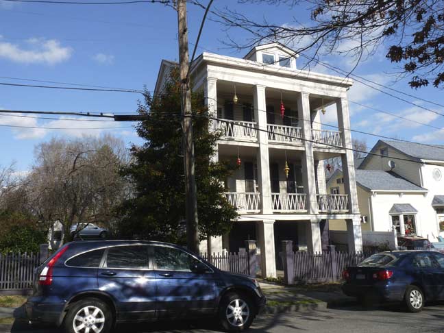
Triple-porched house on William at Brewster. This is the David Burgher House at 63 William, with a distinctive two-story portico and Doric columns. Burgher was a fisherman and served as Stapleton Town Sheriff in the mid-19th Century; Stapleton later became part of the larger Village of Edgewater. The building has been designated by NYC Landmarks; the full report is here.
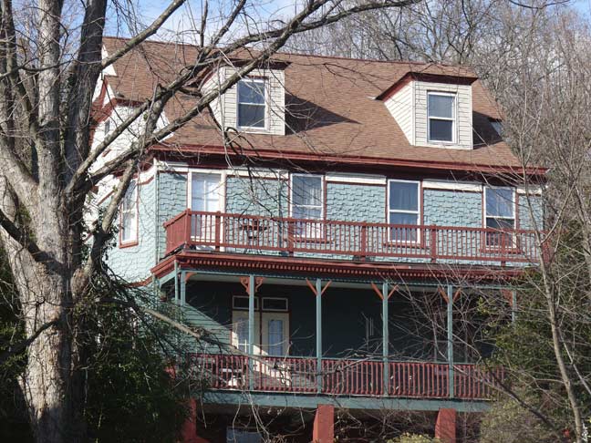
William Street quickly curves to become Jackson Street, which hugs the side of a steep incline, part of a series of them that rise toward a balt of high hills that include Ward’s Hill, Grymes (formerly Signal) Hill, Emerson Hill and finally Todt Hill. These hills comprise what are likely as close to mountain views as New York City gets, and they are among the higher hills on the immediate east coast.
Much of this immediate area was owned in the 1800s by Daniel Tompkins’ nephew, Caleb T. Ward, for whom the hill is named. One of his homes still stands on Nixon Avenue on top of the hill.
Here we see the back porches of one of the landmarked houses along St. Paul’s Avenue, likely #237.
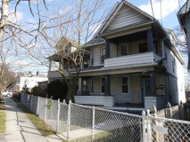
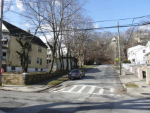
Some of the homes found along both sides of Jackson Street.
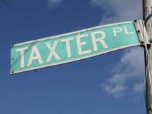
Streets that run for just a block or two are in the majority on Staten Island. Unusually-named Taxter Place runs for a block between Jackson Street and St. Paul’s Avenue.
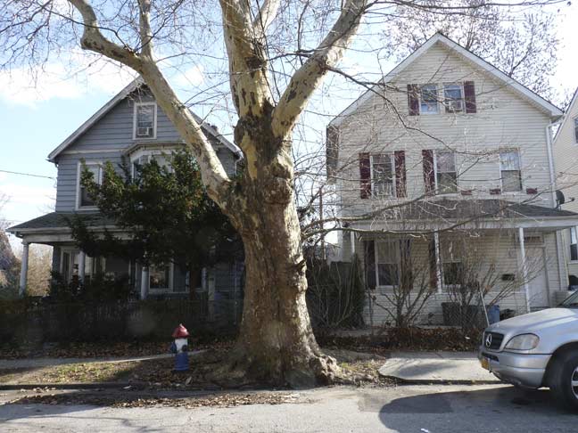
The London plane tree is the preferred curbside tree in NYC, attaining that status because it has proven to be remarkably tolerant of urban conditions such as car exhaust and other pollutants; however, they can cause problems for asthmatics. If left alone they can live for hundreds of years and attain a large girth about the trunk, sort of like your webmaster’s increasing coverage. This one on Jackson Avenue probably goes back to when the map was made in 1873. (At left is a 9/11 hydrant.)
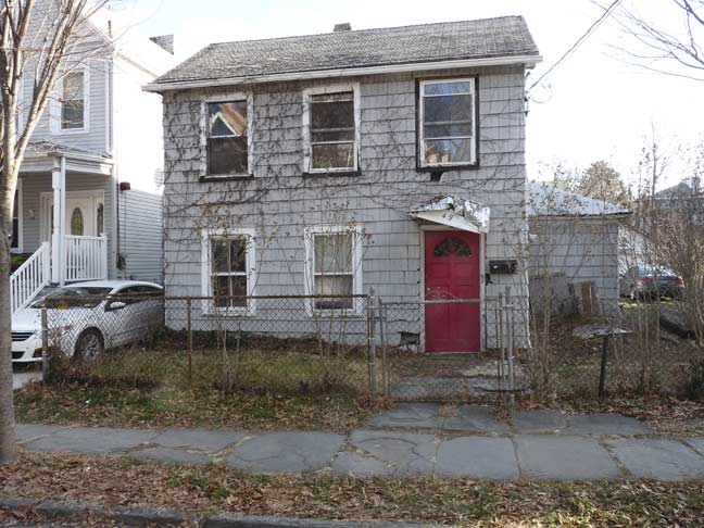
This house at #49 looks older than it likely is, probably post-Sandy. Another of the small ‘saltbox’ type houses seen earlier on the walk.
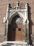
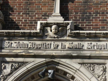
The good news is that the former St. John Baptist de la Salle School, which had been boarded up the last time I was by here a few years ago, has been rehabilitated and reopened as the Korean Catholic Apostolate of Staten Island. However, the boxed “X” indicating unsafe floors is still over the front door. I’d imagine it will be removed soon.
The namesake saint (1651-1719) was the founder of the Institute of the Brothers of Christian Schools and is considered the patron saint of teachers. In nearby West Brighton, St. Peter’s Boys High School is associated with the Brothers.
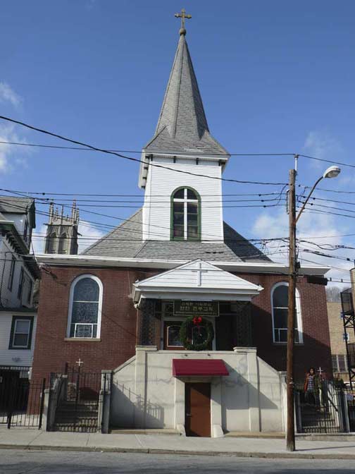
The former St. John Baptist de la Salle Church is still there as well…

… as well as the former rectory at #76 Jackson, now used by the Korean congregation. You have to admire the handsome white and green paint job, and two floors’ worth of “polygonal bays.”
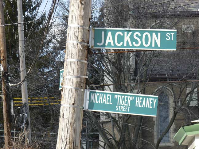
The corner of Beach and Jackson Streets is named for Michael “Tiger” Heaney, a decorated Vietnam veteran and longtime neighborhood plumber.
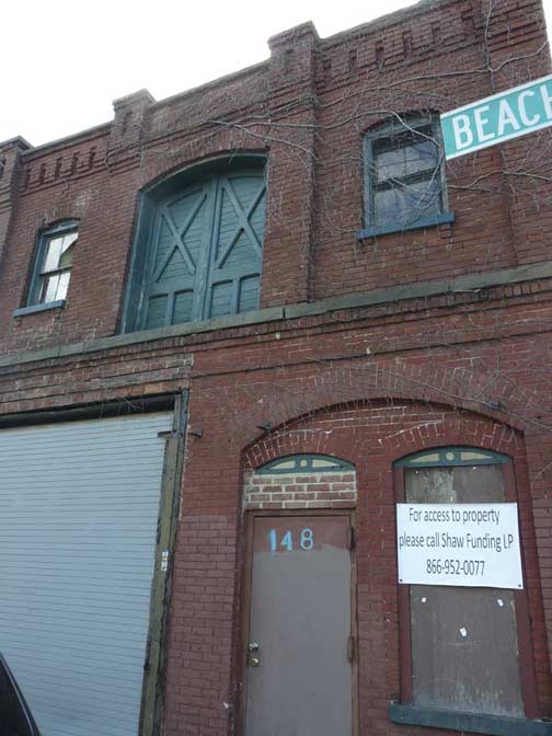
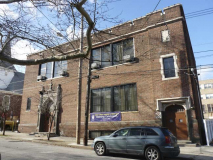
Also at the intersection at #148 Beach is what is likely a former brick stable, complete with hayloft.
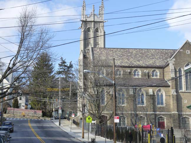
The route I had in mind didn’t take me past Trinity Lutheran Church at St. Paul’s Avenue and Beach Street, but it looms majestically from Jackson Street.
Though the congregation was founded in 1856, this building dates to 1913, and was built by the firm of Upjohn and Conable (Hobart Upjohn was the grandson of Trinity Church builder Richard Upjohn). The church’s original name, Deutsche Evangelische Lutheran Kirche (German Evangelical Lutheran Church) is inscribed on the cornerstone at the base of the tower, which is guarded by gargoyles which seem to be straining against their protective ropes like watchdogs on their leashes. Constructed of grey brick with cast stone and limestone trim, the cruciform planned church is distinguished by its recessed central entry porch with curving sidewalls and a groined and ribbed ceiling, large stained-glass windows with Gothic tracery produced by the Mayer studio in Munich.
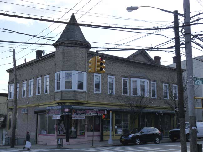
I have a weakness for corner turrets, since only some of them survive the ravages of the decades, like this one at the SE corner of Beach and Van Duzer streets.
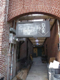
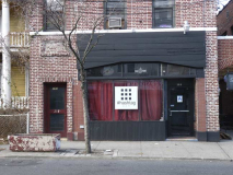
Turning onto Van Duzer, I see that what was once the Muddy Cup and Full Cup, a local music venue that once featured the likes of B.J. Thomas (in August 2003) has changed its name again. Hashtag remains one of Staten Island’s livelier local music venues. TV shows such as The Education of Max Bickford, starring Richard Dreyfuss, filmed inside.
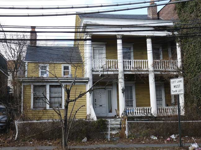
One of the classic double-porched residences in Stapleton is at #390 Van Duzer, a building that has been landmarked. It dates back to the mid-1830s on land that has been owned by Minthorne Tompkins (son of Vice President Daniel Tompkins), and Cornelius Vanderbilt. In 1834 the lot was sold to Richard G. Smith, a son-in-law of Daniel Tompkins, who built the house. The house features an unusual element called the spring eave, which extends well past the building front (allowing the two porches).
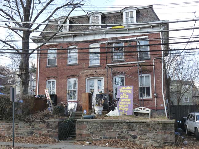
#396 Van Duzer Street, next door, is clearly a Second-Empire style brick building, complete with mansard roof and dormers. It was formerly the Victorian Inn B&B and is now the home of the Unburied Treasures flea market (this stretch of Van Duzer Street has a few).
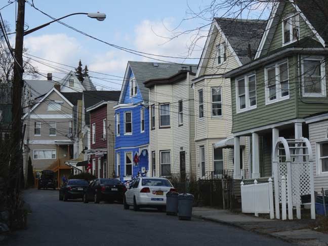
Wright Street extends to a dead end above Van Duzer Street and becomes one of Staten Island’s narrowest. The 19th Century houses here are all quite old but have been aluminum sides, but in some cases, colorfully so.
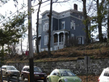
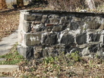
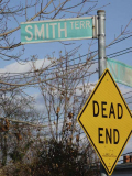
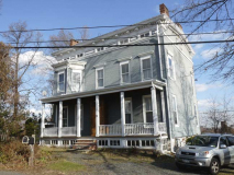
Smith Terrace is a second dead-end proceeding north from Van Duzer Street, though residents along St. Paul’s Avenue use it to access their back parking areas. #3 Smith Terrace, or #442 Van Duzer Street, is an 1850s Italianate house reminiscent of the landmarked Farrell House in Bay Ridge, Brooklyn. As far as I know it isn’t landmarked and is vulnerable to future development.
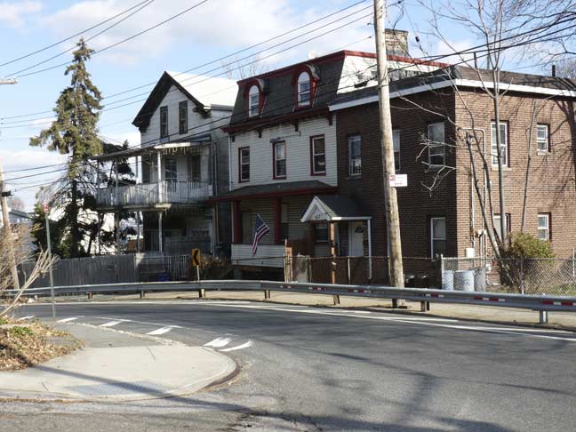
Here, Van Duzer Street takes a series of twists and turns as it maneuvers around foothills. A wide variety of eclectic 19th Century architectural styles are showcased along the route.
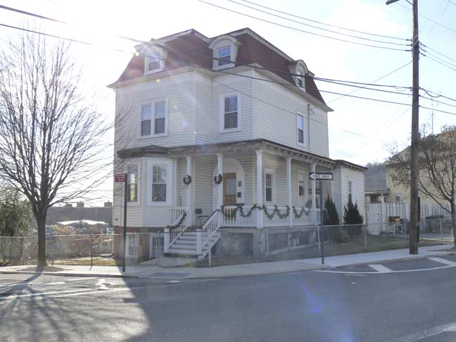
A compact Second Empire house squeezed into a plot between Van Duzer, Court and Grove Streets.
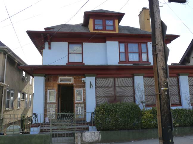
#465 Van Duzer, with overhanging eaves and an unusual first floor window guard design.
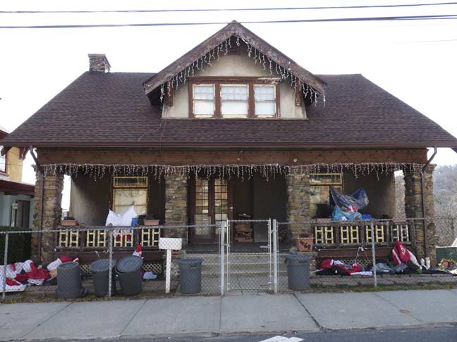
The cobblestone porch pillars and huge 3-window dormer are the attractions at #469 Van Duzer.
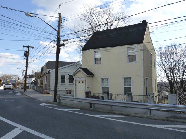
Another bend in the road and a simple salt box at #489 Van Duzer.
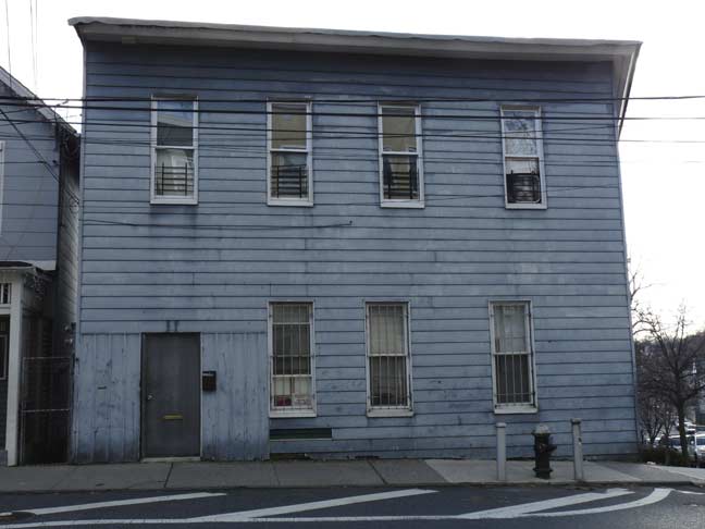
There’s a timeless Tobacco Road quality about some of the Van Duzer Street houses.
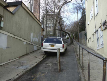
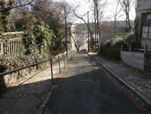
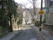
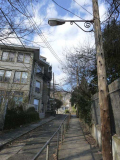
Sytone Street is a very steep, short street connecting Van Duzer Street and St.Paul’s Avenue, just east of where the former absrobs the latter. It’s half in and half out of the St. Paul’s Avenue—Stapleton Heights landmarked district.
It was likely open to auto traffic at one time, but it’s really too steep for comfort. A post has been placed in the center of the street near Van Duzer to stop any through traffic, but homeowners along the street disregard it. A guardrail has been placed to assist pedestrian traffic, which must be hampered especially during winter months.
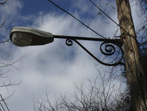
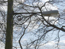
I’m also fascinated with Stone Street because it is illuminated by one single telephone pole light, and given the street’s narrowness, a short scrolled mast, otherwise used only to hold fire alarm indicator lamps, is pressed into service here. I have always wondered what kind of luminaire it held before the sodium lamp was installed.
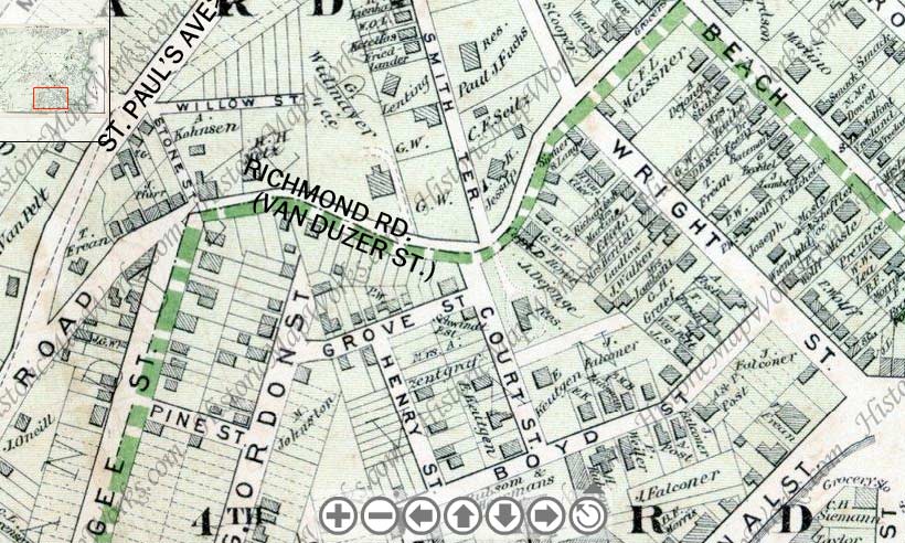
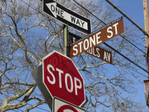
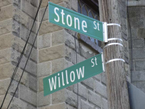
Note that on this 1873 map, Stone Street is shown at top left, but it has a tributary– Willow Street. Until recently, this dead end hadn’t been marked by the Department of Transportation, but under a new street sign replacement program, Willow Street gets some recognition.
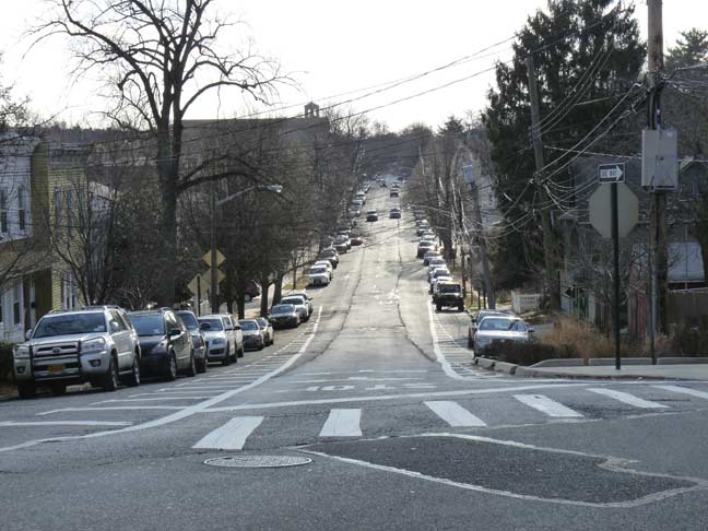
Stone and Van Duzer Streets is also where one of Staten Island’s most heavily trafficked roads, Targee Street, begins; it is one-way going north, and Van Duzer Street takes over its northbound traffic at this point. What about southbound? St. Paul’s Avenue is one-way southbound, and after it folds into Van Duzer Street, that street is southbound from that point. Ultimately Van Duzer street combines with Vanderbilt Avenue to form Richmond Road (though in the 19th Century, most of Van Duzer Street’s length was called Richmond Road).
Unlike Manhattan, Queens and large stretches of the Bronx and Brooklyn where numbers or letters rule the map, Staten Island was never saddled with a street numbering system, which would have been awkward given its uneven terrain. Thus, some of the streets bear unusual names that likely belonged to early settlers, like Targee (pronounced with a soft G). (The again most of the important roads on the island are called Richmond!)
The Van Duzer family were Dutch immigrants who came to Staten Island near the end of the Revolutionary War, but the family vanished from the rolls fairly soon after that. As previously stated, much of Targee Street’s northbound traffic is transferred to Van Duzer Street. But, Van Duzer then accepts St. Paul’s Avenue’s southbound traffic a block south of that. That leaves a very short section of Van Duzer Street in between Targee Street and st. Paul’s Avenue, and that stretch is quite interesting…
It is one of the few stretches of road in NYC that Belgian blocks are used on a curving street. That makes for some unusual patterns in the streetpaving.
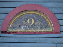
Tucked in the curve is a very old wood-timbered house. Apparently it was once a firehouse; the glass clerestory reads “Robinson Hose Co. 9, 1895.”
ForgottenFan Edward Findlay: “The hose company was founded as part of the Edgewater Fire Department on February 17th, 1880 on Targee Street then moved to that fire station 528 Van Duzer Street on May 7, 1889. It apparently didn’t get integrated into the FDNY when the city took over firefighting duties on the island on November 1, 1905.”
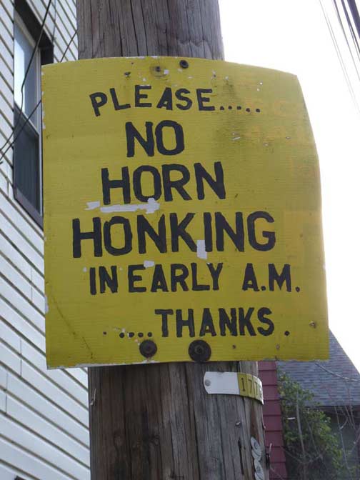
Drivers are admonished to keep quiet on this stretch of Van Duzer Street, but many people believe noise is important for purposes of intimidation; indicating anger; and defining personal space, and so in NYC, noise will always be a part of the aural cacophony.
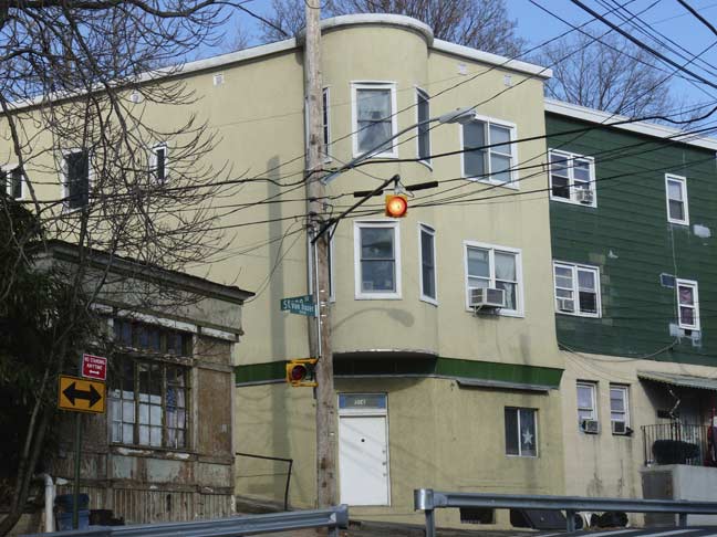
Traffic entering Van Duzer Street from Targee is controlled by a flashing yellow Cyclops light.
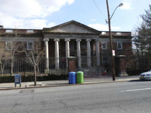
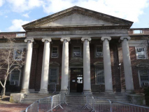
Some years back I had to answer a ticket at Staten Island Criminal Court, at #67 Targee Street. I had never been down this stretch of Targee before and I had no idea that the courthouse was classically styled, with a set of 6 massive Ionic columns supporting a massive pediment. I would have taken photos inside, but I know that cops do hate cameras.
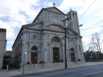
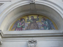
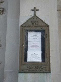
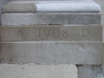
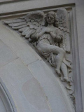
I was also unaware of the stolid Immaculate Conception Roman Catholic Church at #128 Targee. The parish goes back to the 1880s, while the present church was built in 1908-1909. Its whitestone exterior looks especially pleasant on sunny days (unlike the day the photo was taken).
The term “immaculate conception” comes from the belief of Catholics that Mary, Jesus’ mother, was yet a virgin when she gave birth to Him, as she was impregnated by the Holy Spirit, not her husband Joseph. I’m incorrect: see Comments.
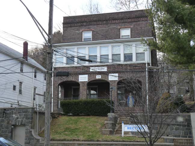
The parish rectory, across the street from the church, is a handsome brick building with a shaded porch.
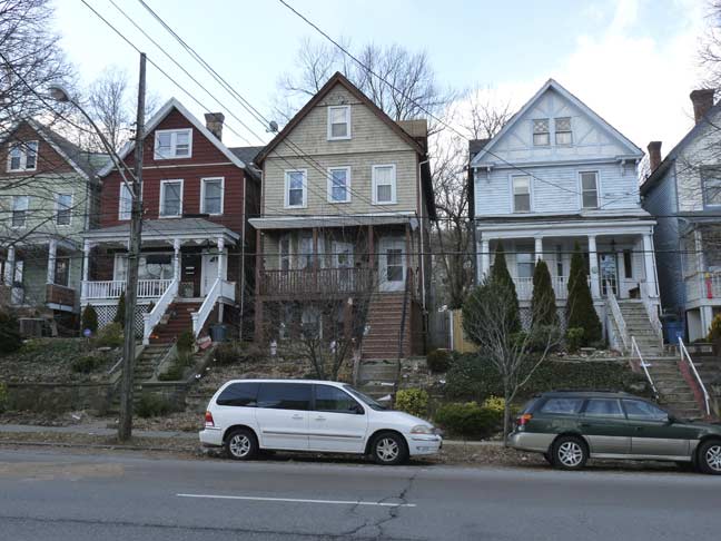
The west side of Targee Street on this stretch north of Broad Street is lined with variations on a theme, likely built by the same developer in the 1920s or 1930s.
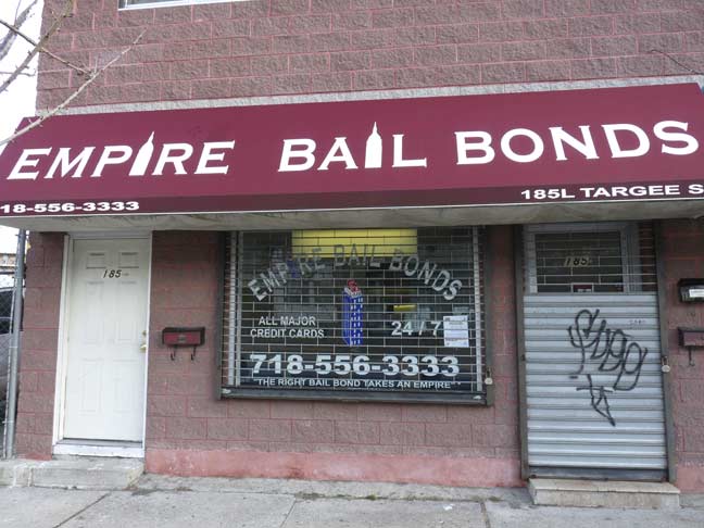
At #185 Targee past Broad Street, it’s an appropriate place for a bail bonds joint with the Criminal Courthouse down the street.
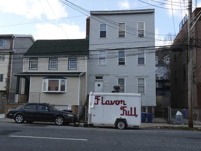
Another set of decades-old homes that aluminum siding has rendered ageless. These houses could have been here for a century or more.
Flavor Full is a Puerto Rican foods vendor, but the old school u-haul and old school handwritten logo imparts a retro feeling.
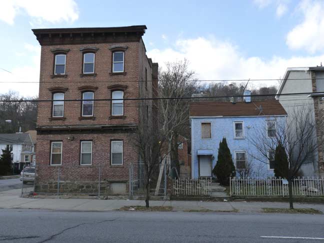
Neither of these buildings will be noticed by preservationists, but when developers come knocking and southern Stapleton’s turn for gentrification, the stolid brick building and saltbox at Targee and Young Streets will be the first to be torn down.
Next: Into Park Hill and back through Stapleton, in Part 3
5/17/15

3 comments
Kevin, my favorite aunt and her family used to live on St. Paul’s Ave., Staten Island, so names like Targee St. and Van Duzer St. were very familiar to me from my childhood. Based on your recent photos, it looks like much of the neighborhood has remained the same from decades ago. I hope the houses you noted above will get landmark status. Thanks for another great blast from the past!
FYI the area of Boyd, Gordon, Freen Streets had it own name, that being ” Rocky Hollow ” which it was called to the extent of my knowledge, in the early part of the 20th century.
Kevin, you have a common misconception regarding the Immaculate Conception: The Immaculate Conception, which is celebrated on December 8, is the conception of Mary, not Jesus. It’s the Catholic belief that Mary was herself, alone among all humans, conceived without Original Sin.