In the fall of 2015 I realized that it had been a full decade since I had been to Travis, which is about as far west as you can get in Staten Island (there are locales further southwest, like Tottenville and its satellite neighborhoods which are as far south in New York State as you can go). Alas, I was unable to do quite as comprehensive and far-reaching a walk as I had in 2005 — I did not explore south of the West Shore Expressway and didn’t reach the railroad tracks in Chelsea. It was in November and the light is as bad as it gets for NYC photography and was already failing by 3 PM. But, I got my shots in.
Just as Proctor and Gamble made Mariners Harbor a company town for many years, so did the American Linoleum Company in Travis between 1873 and 1931; the industry became so identified with the region that the town became known as Linoleumville during that time. After the company moved to Philadelphia, residents voted to rename the town for early settler Captain Jacob Travis.
Linoleumville was originally called Long Neck, but after Joseph Wild, the founder of the American Linoleum Manufacturing Company, acquired a 300-acre tract and constructed a large factory, docking facilities and a workers’ village. Linoleum is a floor covering produced mainly with pulverized or ground cork and oxidized linseed oil. The process was perfected by Englishman Philip Walton, who supervised Staten Island’s Linoleumville along with Wild in the early days. Walton was succeeded by David Melvin, a Scottish-born inventor and engineer who developed several new varieties of linoleum products including colored linoleum and “battleship” linoleum, originally used by the US Navy but later installed in office buildings and department stores.
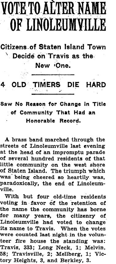
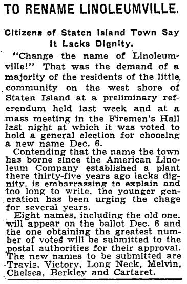
In 1931, area residents voted to rename their small town Travis after the linoleum factory had vacated. Ultimately they returned to Travis, as an early name had been Travisville for Col. Jacob Travis. Admittedly, Linoleumville is a mouthful.
Brass bands still march through Travis. Each July since 1911, it’s been the scene of what has become NYC’s biggest 4th of July parade. (My own neighborhood, Little Neck, Queens, can claim the region’s biggest Memorial Day parade.)
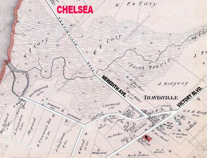
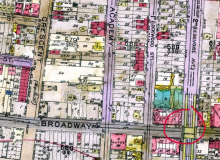
1873 maps of Travis, when the linoleum factory was established. Richmond Turnpike, which was established by Governor Daniel Tompkins in the 1810s and became Victory Boulevard in 1918, runs through the entire area. Other streets then in existence were today’s Cannon Avenue, Glen Street and Travisville Road, today’s Meredith Avenue, the connector between Travis and Chelsea. Plenty of landowners recognizable on street maps are here including Decker, Cannon, Cary and Jacob Travis.
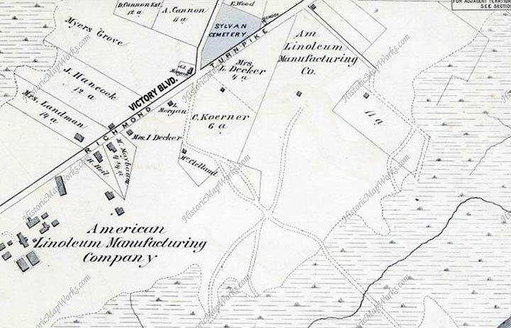
The south end of Travis in 1873 showing the new linoleum factory, whose space is now occupied by the West Shore Expressway and the former Fresh Kills Landfill, which is now being converted into parkland.
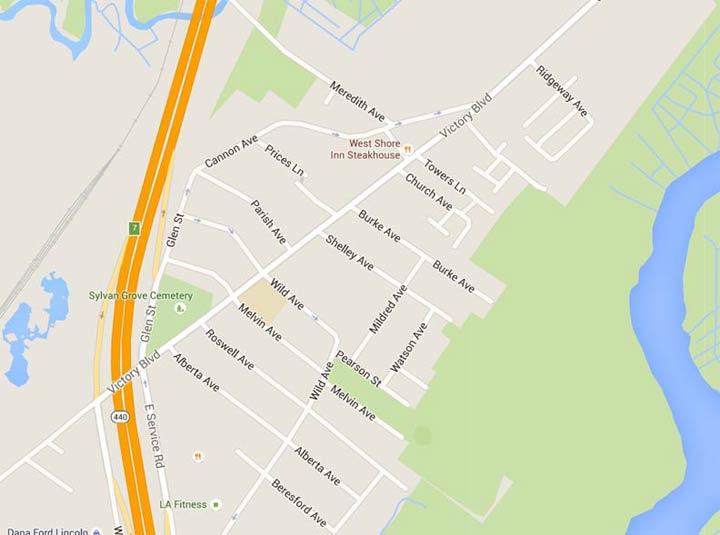
Travis street map in 2016; early in the 20th Century the town acquired its crosshatch of side streets.
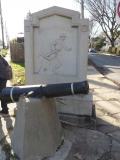
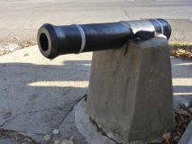
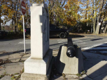
The Cannon on Cannon
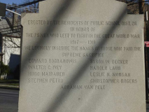
At the intersection of Victory Blvd. and Cannon Avenue, named for a prominent local French Huguenot family, is a World War I memorial consisting of a small cannon and a stone marker depicting a gun-toting doughboy. A doughboy goes “over the top” on the memorial face. The names of nine area residents who perished in WWI are on the back.
The gun was unearthed on the north side of the Sylvan Grove Cemetery’s Ye’ Old Burial Ground (which we will see a bit later) when homes where being constructed nearby. The gun barrel is actually a Civil War era 6 pounder. After the Civil War it was quite common for barrels to be donated to towns and they were often displayed in cemeteries. This gun may have been displayed on the Cannon family grave, or as part of a memorial for the Grand Army of the Republic Veterans entombed in the Sylvan Grove Cemetery.
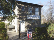
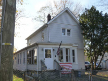
American Legion Post 1365 on Cannon Avenue nearby, with a mailbox converted into a flag disposal receptacle. American flags should not be merely discarded; from the Veterans of Foreign Wars, here is what is generally done with ragged or old flags:
1. The flag should be folded in its customary manner.
2. It is important that the fire be fairly large and of sufficient intensity to ensure complete burning of the flag.
3. Place the flag on the fire.
4. The individual(s) can come to attention, salute the flag, recite the Pledge of Allegiance and have a brief period of silent reflection.
5. After the flag is completely consumed, the fire should then be safely extinguished and the ashes buried.
6. Please make sure you are conforming to local/state fire codes or ordinances.
This is also the Blazing Star Post #1574 of Veterans of Foreign Wars. The name Blazing Star, as associated with Travis, is somewhat confusing. Rossville, further southwest along the Arthur Kill, was once called Blazing Star because a ferry ran to New Jersey from a tavern with that name during the colonial era. Later, another ferry was established from the foot of Richmond Turnpike, named the “New Blazing Star” ferry. That’s probably where this post got its name.
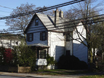
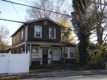
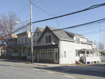
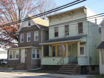
A pair of dwellings on Victory Boulevard at Cannon Avenue. More of Travis’ stock of older buildings disappears by the year.
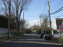
Meredith Avenue is the lengthiest street in Travis other than Victory Boulevard and runs to the small community of Chelsea, crossing freight tracks on an overpass to do so. Its eastern stretch is filled with classic Travis housing stock.
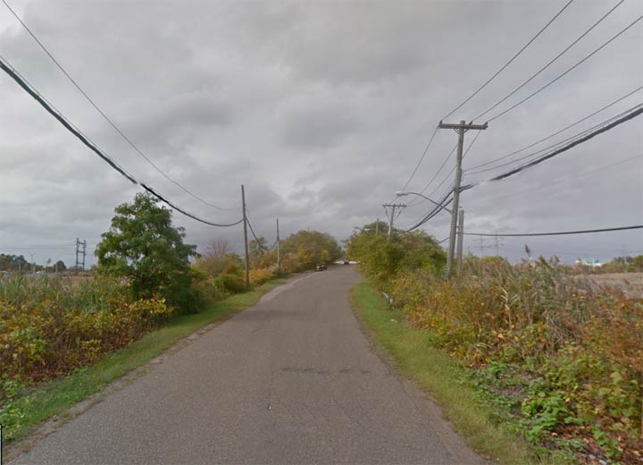
Soon enough, the neighborhood of Travis ends and Meredith Avenue becomes a country road through the marshes. Travelers are rewarded on the other end with one of two shopping malls in the Travis area.
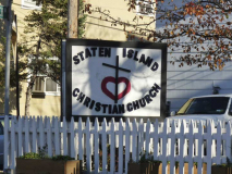
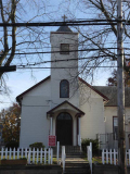
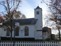
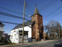
The Staten Island Christian Church was built in 1871 as the Dickinson Methodist Church on Richmond Turnpike at a cost of $3000. It was sold to the nondenominational Staten Island Christian Church in 1974. By the early 20th Century Church Avenue was laid out beside the church.
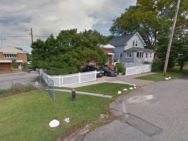
Here’s an example of Travis’ unfinished, or informal, street pattern. Prices’ Lane dead ends at left, while Burke Avenue dead-ends from the other direction on the right. The two roads were never connected; a thin strip of pavement allows walkers to er, ah, traverse them.
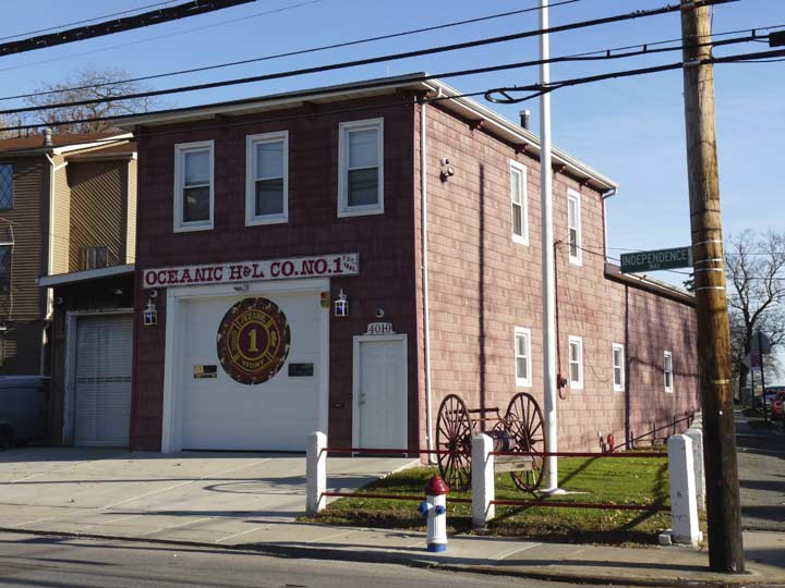
Like Broad Channel in Queens, Travis is remote enough to still maintain its own volunteer fire department, Oceanic Hook & Ladder Co. Number 1, Victory Blvd. and Burke Avenue. It’s unchanged from when I passed 10 years ago and still has the fire wagon carriage replica in front.
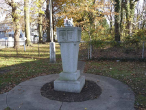
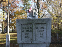
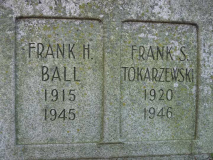
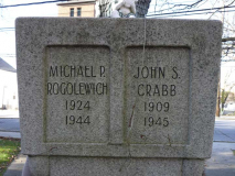
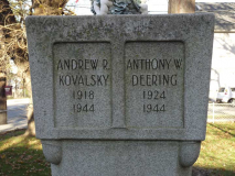
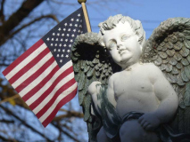
Travis’ World War II memorial stands on Victory Boulevard off Shelley Avenue. Eight area residents who perished in the fighting are memorialized on this simple concrete stele.
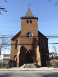
St. Anthony of Padua is Travis’ Roman Catholic church, still occupying its original 1908 building. The steeple was repaired after it was damaged in a lightning strike in 2012.
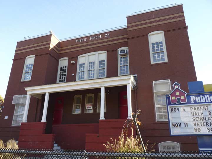
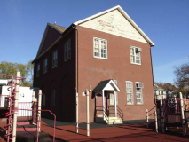
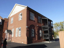
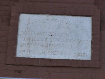
PS 26 was built in 1880 as District School No. 3, on Victory between Wild and Melvin Avenues, when the area was called Long Neck, and this new school was finished in 1896.
The original school building is still maintained beside the playground in the rear of the plot.
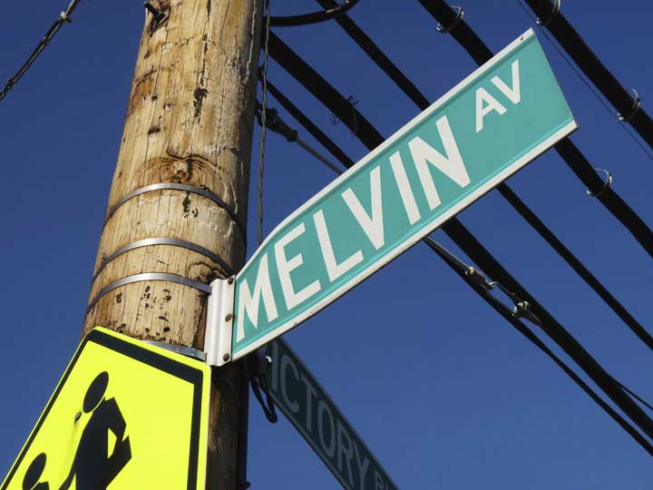
Remnants of old Linoleumville are some of the street names, such as this one named for David Melvin. There is also a Wild Avenue, after Joseph Wild.
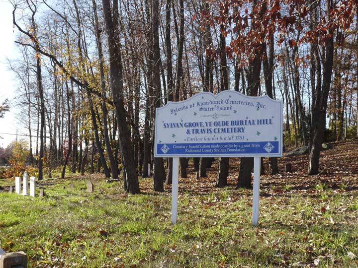
Located at the “V” formed by Victory Blvd. and Glen Street, along the West Shore Expressway, is one of NYC’s spookiest locales…Sylvan, or Grove, Cemetery. Gravestones remember the Price and Cannon families, for which Travis streets are named, as well as the ubiquitous Deckers, who feature in all Staten Island cemeteries.
The land that became Sylvan Cemetery was originally owned by the Cannon family in the 1680s but did not become a cemetery until the 1860s, when the Wood family began interments there; the name “Sylvan” likely comes from associations with that family name.
The cemetery had been in poor condition for decades. As early as the 1920s, Staten Island naturalist and historian William T. Davis was decrying its decrepitude, noting broken headstones, weeds and vandalism. However, the Friends of Abandoned Cemeteries has really done a terrific job in recent years making the plot look more respectable, much like what has been done in Jamaica’s Prospect Cemetery in recent years.
In 2010 an archeological dig was, er, ah, undertaken in Sylvan Grove. Its findings, as well as an incredibly detailed history of the Travis region, can be found here.
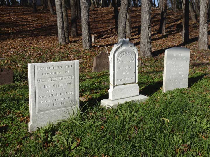
Remains of the Ridg(e)way family were exhumed and reinterred in Sylvan Grove when the Ridgway family cemetery was developed in 1989. There is also a Ridgeway Avenue further up Victory Boulevard.
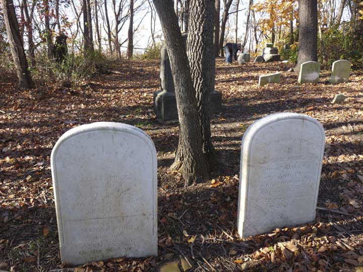
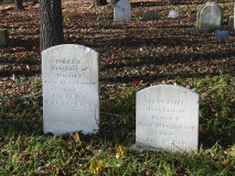
Though Sylvan Grove is in considerably better shape than it was when I first saw it in 1999 it still has an unmistakenly spooky ambience. These are members of the Price family, who are also memorialized by Price’s Lane.
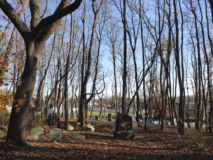
Sylvan Grove looking toward Victory Boulevard.
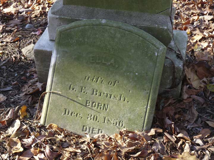
Ella Brush
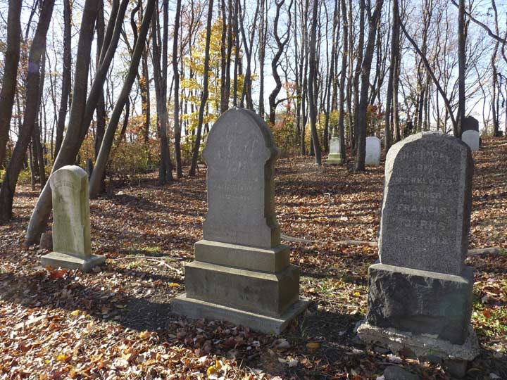
Members of the Tjarks family
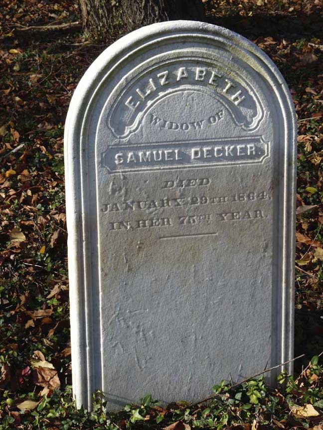
The Decker family has been prominent in Staten Island for decades. The name doesn’t look Dutch, but progenitor Johannses De Decker (perhaps Dekker) arrived from Holland in 1655 during the first great period of Dutch immigration to the New World, establishing a 120-acre farm.
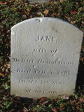
The Haughwout family were also Dutch immigrants in the colonial period. The name is Anglicized from Hooglaut.
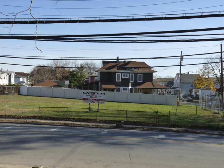
An empty — for now — plot at Victory Blvd. and Roswell Avenue marks the former location of the Loomis house in Splendor in the Grass, the 1961 drama directed by Elia Kazan with Warren Beatty and Natalie Wood.
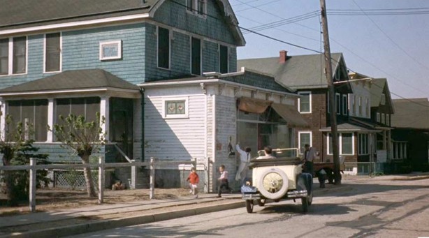
Many other incidental scenes in the movie were filmed in Travis, which stood in for 1928 Kansas in the film. In 1961, Travis was home to a great number of Polish immigrants.
A number of dwellings on the south side of Victory Blvd. across from Sylvan Grove were standing when Splendor was filmed in 1961.
The film’s title is taken from a line of William Wordsworth’s poem “Ode: Intimations of Immortality from Recollections of Early Childhood”:
- What though the radiance which was once so bright
- Be now for ever taken from my sight,
- Though nothing can bring back the hour
- Of splendour in the grass, of glory in the flower;
- We will grieve not, rather find
- Strength in what remains behind
5/7/16. Thanks: Jean Siegel and Tina Kaassman



7 comments
I don’t miss much about NYC, but I do miss Travis. About six years ago, I came thisclose to buying a house on Cannon Ave and Glen St, right near the West Shore Expressway, but decided to save my money and move to more warmer climes. The house was in need of some repair, but a Google Street view shows it got some really good TLC, including a white (kinda) picket fence. Travis is still lovely and VERY quiet, but like most SI communities, the commute to Manhattan via express coach or the local bus to the ferry can be a bit tiring.
Thanks for the memories, Kevin!
not like the old days. no floods, water had some place to go.
Born and raised. In the good old times.
i lived on Canon Ave, when I was a kid. Went to P S 26 up to the 6th grade, My grandfather”s house was on Victory Blvd. next to Tennyson’s and across the street from the fire house, Many fond memories.
Wow. Born and raised there went to PS. 26 …. my mom owned the restaurant next to the fire house. We always hosted the 4th July parades good old memories.
Grew up outside of the town one house from Travis Avenue and Victory Blvd .My Dad and uncles ran Mohlenhoff and Sons Farm. Great memories !
My Grandmother Had a small house on Cannon Ave , Helen Winters , my dad John had 7 sisters living in that house. I visited there many times in the 1950’s and early 1960’s . I rode my bike decorated in a few parades down cannon Ave . The Melnik also lived across the street . My uncle was Joe Melnik , I went to a wedding at st Anthony church when my aunt and uncle were married there. I also went to Grosso’s bar in 1966 to 1968 . Great memories from Travis. I lived on victory Blvd in Willowbrook area my Grandmother had a grocery store there . I lived next door to the store. I watched the expressway get built and the Verrazano bridge get built too .