It was the first really hot day in May (2017), and I went forth to DUMBO on a mission. As it turns out I had to abort the mission, as you will see later, but I did get a good walk in and had plenty of photo opportunities. I usually find myself in DUMBO in the cold months, when shadows are long and good photo ops are few. I actually was there every day in early 2015 as I had a temp job with the educational publisher, Amplify, which was located on Washington and Water Streets. In contrast with recent winters, 2015’s was stone cold and there were few chances for me to get about and take photos; I just got lunch and came back and ate it at my desk (no cubicles, which are being phased out in workplaces). Thus, I relished a chance to get some DUMBO shots in full sun. I also learned that the mustard they use on sandwiches at La Bagel Delight, Front and Adams, is incredibly pungent and will clean out your sinuses in short order.
To begin I’ll quote from a story I already wrote about the day’s mission for SpliceToday.com:
I’ve been fascinated with Brooklyn’s DUMBO ever since I saw it on old street maps as a kid and wrote down the tiny streets that I saw such as Talman, Everit, Evans, Mercein, Flint, Green Lane, Little, Howard Alley, and many more. The maps I studied back in the 1960s and ’70s were printed in the 1940s and ’50s, before the Brooklyn-Queens Expressway and Farragut Houses were built, and most of the streets I listed have been eliminated. Visiting DUMBO on a bicycle beginning in the 1970s didn’t disappoint, as on the weekends I found a grid of streets with little to no connection with other Brooklyn neighborhoods with the exception of Fulton Street, which in my lifetime has changed names twice to Cadman Plaza West in the 1960s and to Old Fulton Street in the 1980s. I also found acres of tall brick and stone-clad buildings, all homes to importers, manufacturers, and warehouses, and railroad tracks of a recently-retired local line, the Jay Street Connecting Railroad, which brought goods from these buildings to East River carfloats and back.
In Disneyland, “Dumbo” means a flying elephant, but in Brooklyn, a new acronym was coined in the 1980s to refer to the area under the bridges Manhattan and Brooklyn: “Down Under the Manhattan Bridge Overpass.” It’s rather awkward but DUMBO gets the job done. My pal Mitch Waxman of the Newtown Creek Alliance has coined similar acronyms, such as DUKBO (Down Under the Kosciuszko Bridge Overpass) and DUGABO (Down Under the Greenpoint Avenue Bridge Overpass) but thus far, the demographics haven’t been there for these acronyms to catch on.
My route: GOOGLE MAPS: DUMBO and FORT GREENE
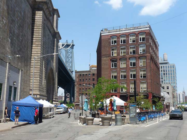
The Pearl Street Triangle, as seen from Front Street, is a small open public space formed by Pearl and Water Streets and Anchorage Place, which runs for 2 blocks along the Manhattan Bridge anchorage. This spot is quintessentially modern northern Brooklyn, with a CitiBike docking station, as well as a Brooklyn Flea (market) locale under the masonry archway that takes Water Street under the bridge. The building seen behind the triangle is a former smoking pipe factory, and a faded ad for the product is still visible on the Anchorage Place side.
One of the fascinating aspects of DUMBO’s transformation, or gentrification, is the adaptations made by warehouse, loft and factory buildings to residential and commercial use. The changes were spearheaded by developer David Walentas, whose 1980s conversion of the Clock Tower Building at 1 Main Street, formerly the seat of Robert Gair’s box and paper products empire, spearheaded DUMBO’s now headlong rush into a luxury neighborhood, though it took about 25 years to build up a head of steam.
Robert Gair became the dominant industrial presence in DUMBO in the early twentieth century. Gair was born in Edinburgh, Scotland in 1839 and came to America at the age of fourteen. He worked as a clerk in a dry goods store in New York City before serving in the Civil War (he reached the rank of captain). In 1864 he opened a business as a paper jobber in New York and then, in partnership with George West from 1867 until 1876, he began manufacturing paper bags with square bottoms. He also sold a wide variety of paper goods, many of which he also manufactured on machinery that he had constructed. However, it was Gair’s inventions relating to the manufacture of corrugated paper boxes that resulted in his firm’s growth. In 1870, Gair developed a machine for manufacturing corrugated paper and in 1879 patented a machine for creating folding boxes.
By the time of Gair’s death in 1927, though, operations were largely moving elsewhere out of DUMBO and were gone by WWII. The buildings have been leased to other manufacturers since that time and are beginning to be converted to residential in the 2000s.
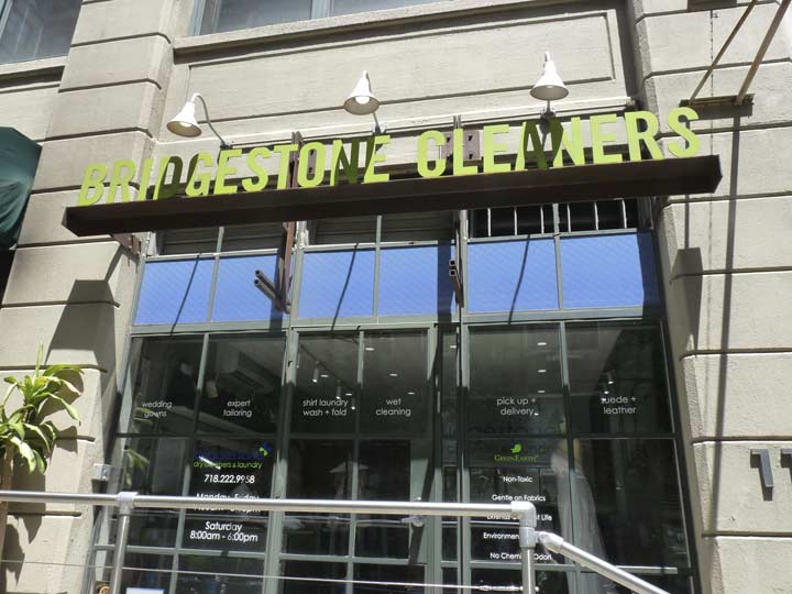
Here, at Front and Washington Street, Bridgestone Cleaners has mounted a sign consisting of individual letters set on a frame over the front entrance, an imaginative solution on how to devise sidewalk signage. Peas and Pickles, which is DUMBO’s main grocery store absent a supermarket (one is scheduled to be built on Admirals’ Row on Flushing Avenue; I’ll deal with that later) uses a conventional vinyl awning sign, though more tasteful and muted than the usual examples.
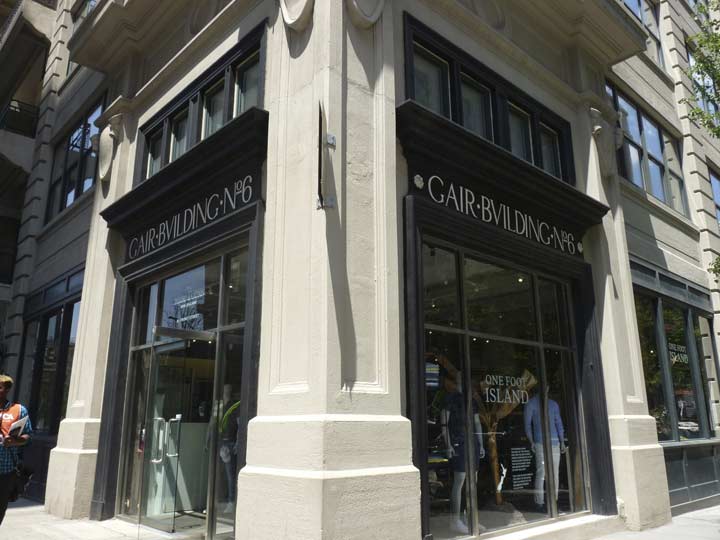
Gair Building No. 6 in what I like to call “Gairville.” There are residences and offices on the top floors, and a clothing store on the ground floor. This is unique among the Gair buildings in that the name of the building is spelled out on ground floor signage, with the “V” of Importance; other, older Gair buildings adjacent to it have the Gair name stamped into the stone exterior. Before DUMBO’s gentrification, when I used to come through the area on my bicycle, I noticed that at this corner, mounted on the building, there was a leftover arrow-shaped One-Way sign that had been the current design in the 1930s and 1940s; no one noticed it was still there; it has, of course, been duly removed as all the buildings have been repurposed.
I must confess that when I traverse DUMBO I am under no illusions that the neighborhood, and its rebuilding, were meant for me or for people of my modest income. There are stores and establishments, like the riverside parks, the grocery stores, pizzerias, even the new branch of the Brooklyn Historical Society (see below) that visitors like myself can use, but I have no hopes of moving or living here; in that way, it’s like an art exhibition. This is now true of vast swatches of NYC that have been redeveloped since the 1990s. That’s why I’ve been saying for a long time now that I am a tourist in my own city.
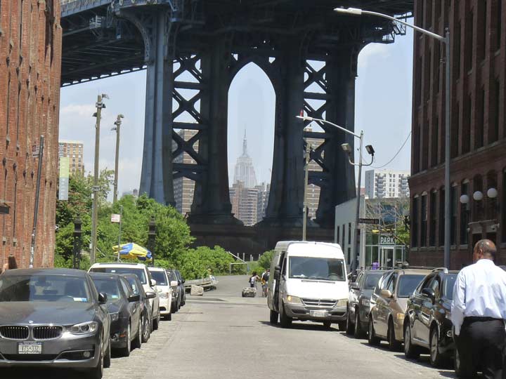
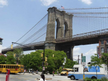
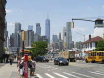
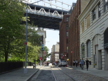
One of the favorite views for photographers–and I can’t resist it, either–is looking north on Washington Street through the “legs” of the east Manhattan Bridge tower, since a vision of the King of All Buildings is vouchsafed at about the center, just off a bit, and you can shift your position to center it better, I suppose. But you do have to dodge traffic that is getting worse all the time. For this shot, I waited a few minutes until a big truck parked on the side fortuitously moved out. There’s no way the Manhattan Bridge or, 21 years later, Empire State Building developers knew about this tableau. It just happened.
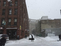
A few shots from Washington and Water Streets, inside and outside the Amplify offices, in 2015. The winter that year meant business.
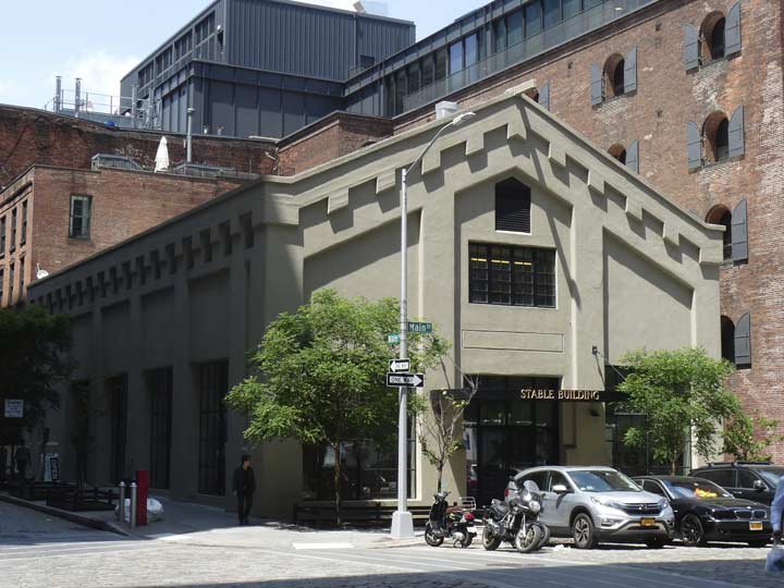
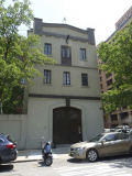
I haven’t written about #16 Main Street at Water Street before. Now known as the Stable Building, it was constructed in 1906 as a stables for the Gair company, but autos and trucks soon took over from horses and carts and the building has been repurposed over the years, though its wide entrance, always a signifier for stables, has remained. It was home to the art museum Galapagos from 2007-2014 and now houses other artists’ installations. This building seems to fall outside both the DUMBO and Fulton Ferry landmarked districts, but its future seems pretty safe for the moment.
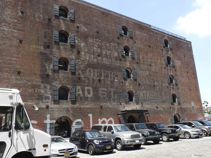
Next to #16 Main is the eastern wall of the huge Empire Stores warehouse building. There is a palimpsest of painted ads on the building that have been there for nearly a century. One seems to be an ad for cruise lines, or perhaps in this once heavily industrialized district, shipping lines. The other is a large ad for the Siegel-Cooper store located on 6th Avenue and West 18th Street in what was once the Ladies’ Mile district of fashionable emporia. It was once NYC’s largest department store, but was in business only between 1896 and 1917. The huge building has remained standing and after decades as warehousing and storage, and it once again served as a retail establishment beginning in the 1990s, currently home to TJ Maxx, Marshalls and Bed, Bath and Beyond.
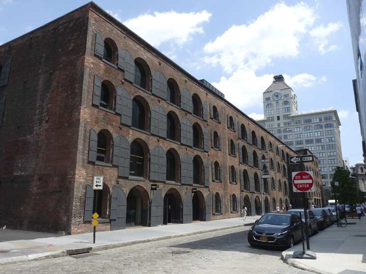
In the shadow of Empire: Brothers John and Charles Arbuckle were the first national retailers of coffee and produced America’s first national coffee brand, Ariosa, which remains available, complete with a traditional piece of peppermint candy in the bag; the Arbuckles were also sugar importers, and early on, they kept their coffee from getting stale by glazing it in sugar. One of the Arbuckles’ leading creations was Yuban Coffee, introduced in 1913, a year after founder John Arbuckle’s death. Yuban (“Yuletide Banquet” – produced from special beans used by the Arbuckles during family holiday gatherings) had a vast advertisement on the exterior of 1870s-1880s-era warehouses along Water Street between Dock and Main Streets, known as the Empire Stores in the 1930s, memorialized in photographs by the famed Berenice Abbott. See this Brownstoner article for detailed information plus some vintage photos (you won’t believe the condition Empire Stores was in in 1968). Even a Google Street View from 2013 is illustrative of the Stores’ old condition.
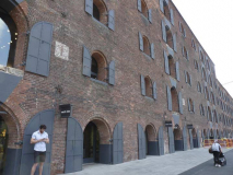
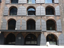
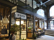
After decades in ruin, Empire Stores was redeveloped as a combination retail-offices-tech hub beginning in 2015. It’s a tasteful reimagining, complete with new versions of the Stores’ old metal window shutters. A pricey furniture store, West Elm, has moved in, as well as FEED, Lauren Bush Lauren’s (granddaughter of “41” and niece of “43”) project selling apparel with a café, whose profits go to purchase meals for poor families worldwide; and Shinola, a pricey handcrafted watches/leather store–the same name as the company that began by making shoe polish in 1907 in Rochester, NY, prompting the phrase “wouldn’t know shit from Shinola.” I had no idea that the company name had evolved in this direction before today’s little trip. The current owner purchased rights to the name; the old shoe polish company had expired in 1960.
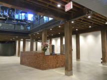
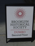
A new branch of the Brooklyn Historical Society has opened up in the old hulk. I was truly amazed to see a concierge sitting at a desk when I wandered in. I didn’t tarry long, since I surely would have been shooed out. (I have never had a nickname, except the “Sir!canIhelpyousir” I usually get when I am someplace that others do not want me to be.)
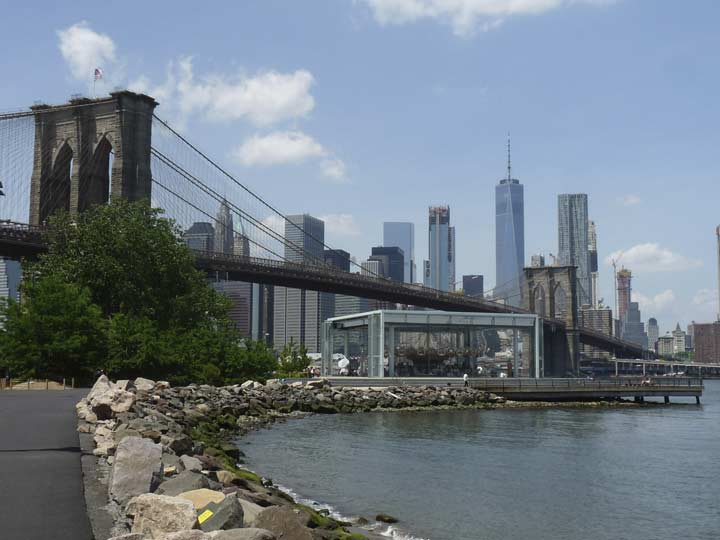
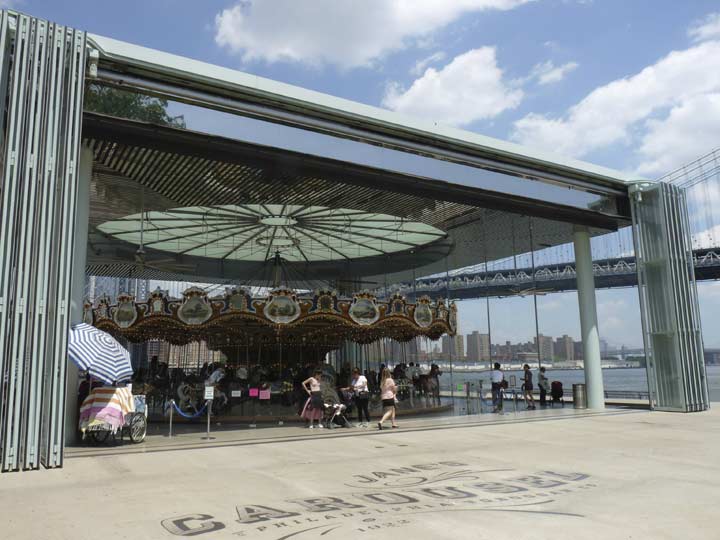
The East River, Brooklyn Bridge, and downtown panorama as seen from the Empire-Fulton Ferry State Park at Main and Plymouth Streets. The riprap was installed when the park was extended in the early 2000s, while inside the glass box you will glimpse Jane’s Carousel, constructed in 1922 by the Philadelphia Toboggan Company. It was originally installed in Youngstown, Ohio. In the mid-2000s Jane Walentas, wife of developer David, purchased and restored the carousel, installing it at the waterfront park.
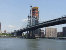
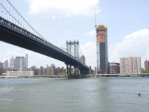
However, the unobstructed view of the Manhattan Bridge seen at the north end of Main Street has been forever altered by the developers of 252 South Street, a mixed use residential/retail, 80-stories tall object expected to open in 2019 in the spot vacated by the Lower East Side’s Pathmark supermarket. For unobstructed bridge views, you have to go east to the new John Street Park, which I’ll discuss a bit later.
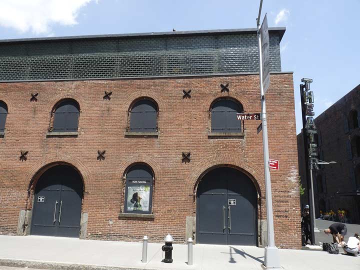
The Tobacco Warehouse at Water and Dock Streets, originally built by the Lorillard tobacco producing family around 1860, sits a block away from Empire-Fulton Ferry Park, just north of the Brooklyn Bridge, and just south of the Empire Stores. Together, these landmark 19th century warehouses are vivid reminders of the shipping activity that once defined the downtown Brooklyn waterfront. Constructed in the 1870s as a tobacco customs inspection center, and saved from demolition in 1998. The building was used as a hideout in the 1990 Abel Ferrara film “King of New York.” The star-shaped objects are the ends of metal tie rods that once held up the walls.
I was shooed out of the hollowed-out warehouse in the 1990s by a security guard, but today the St. Ann’s Warehouse Theater occupies the space. The theater is associated with the Church of St. Ann and the Holy Trinity on Montague Street in Brooklyn Heights, which has had music and theater presentations for decades.
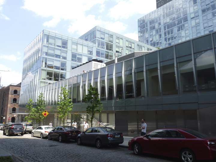
Facing the tobacco warehouse/theater on Water and the still-Belgian blocked Dock Street is the glassy Dock Street School, part of a condo project (another Walentas family development) serving students in Grades 6, 7, and 8. It’s one of DUMBO’s new buildings I’ve taken a shine to, as I think the shiny exterior is a decent contrast to the brick classics found on Water.
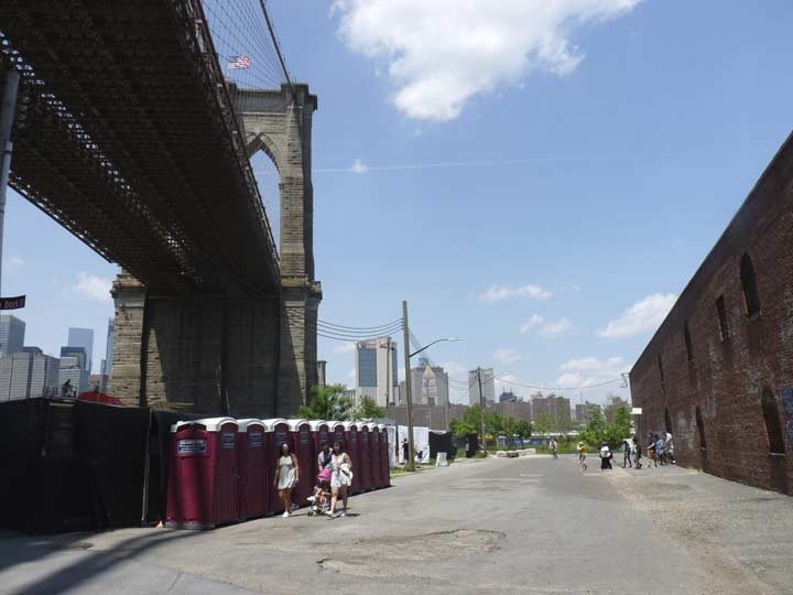
New Dock Street, which is a dead traffic end running from Water Street to the Empire-Fulton Ferry State Park, looks almost exactly as I remember it from bicycling here in the 1980s, with portable toilets and broken pavement revealing Belgian blocks underneath. This is also the only street in DUMBO with telephone poles carrying power lines.
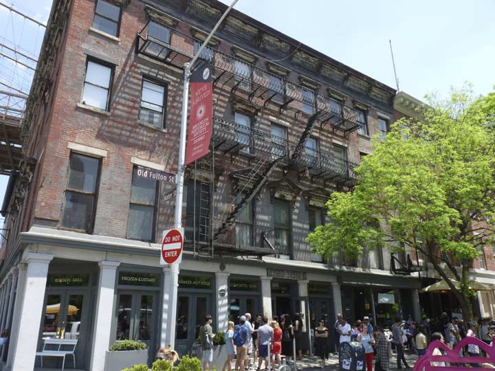
And now for the mission I was on. It was a cold winter in late March 2015, and when it got warm enough to roam around, I would walk over from Amplify on Washington to Water and Old Fulton and order a meal at Shake Shack. I had patronized the very first Shake Shack in Madison Square while working in the area in 2005; lines tend to snake around the square in the warm months because of its popularity. In 2015, the DUMBO Shack had dinnertime customers, but wasn’t overwhelmed.
Not so today. The line was down the block for Shake Shack, and even if I did endure the wait, there would be no peaceful idyll sitting by the picture window, calmly watching the passing parade; there would be only the madding crowds and screaming kids. I passed on Shake Shack and made dinner myself when I got home.
The row of brick buildings on Old Fulton where the Shack is ensconced are among DUMBO’s oldest, dating to the 1835-1840 period when Fulton Street was widened, and are also home to dueling pizzerias where Juliana’s has surpassed the popularity of the more established Grimaldi’s. Actually it is a complex situation as Juliana was the name of founder Patsy Grimaldi’s mother and the Grimaldis now operate under that name. The original Grimaldi’s, next door at #1 Front, is no longer owned by the family. Patsy sold the name to another entrepreneur when he retired, but changed his mind and got back into the pizza business, opening Juliana’s.
It’s easy to see why the Fulton Ferry end of DUMBO has become such a massive tourist attraction — the tremendous views of two bridges and the Shining City across the water. The mystery to me is, what took it so long? I remember bicycling down to DUMBO in the 1980s and even into the 1990s, and finding it deserted — even the Fulton Ferry area. Prior to 1942, the Fulton Street el rumbled down to this spot on the waterfront, where a connection could be made to the actual ferry, which was established by Robert Fulton in 1814 and ran across the East River to Manhattan’s Fulton Street until it was ended in 1924.
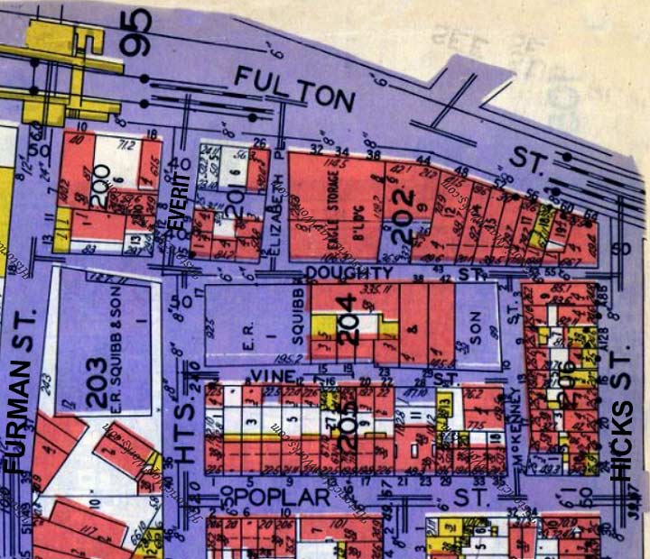
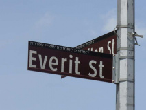
There’s a network of tiny, narrow streets in the Fulton Ferry area that, miraculously, have not been obliterated by development. I decided to check out all of them and record what I found. First comes Everit Street…
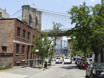
Everit Street was named for a butcher and slaughterhouse owner on Fulton Street, Thomas Everit. Three buildings on Everit survive, #11, a warehouse on the corner of Doughty that still has an intact pulley on the third floor, and a pair of brick dwellings, #8 and #12. The street itself, a northern extension of Columbia Heights, has a good view of the Brooklyn Bridge.
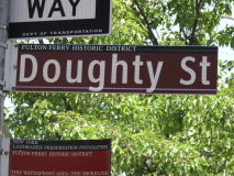
Wedged as it is between taller buildings fronting Old Fulton and Vine Streets, Doughty Street looks a little forbidding. It follows its original path for the most part between Furman and Hicks Streets. Doughty Street is named for Brooklyn Village president Charles Doughty (1759-1844) who was the first Brooklynite of note to free his slave, Caesar Foster. He was a Quaker turned Swedenborgian.
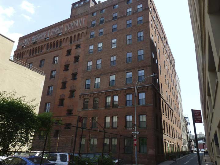
The Eagle Warehouse, 28 Old Fulton Street, was built by architect Frank Freeman in 1893 on the site of the old Brooklyn Eagle building. For 114 years the Eagle was Brooklyn’s hometown paper. While designing the new Eagle Warehouse, Freeman decided to leave intact the old three-story Brooklyn Eagle pressroom at Doughty Street and Elizabeth Place. It can be detected easily by its old cornice. Perhaps Walt Whitman himself, who was the Eagle editor from 1846-1848, worked in this building. In any case, the “Good Gray Poet” is remembered by a plaque near the building entrance on Old Fulton Street.
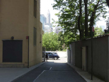
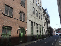
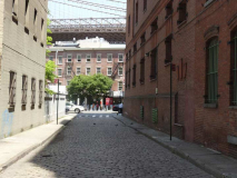
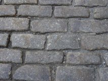
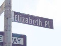
Elizabeth Place, one of the shortest through streets in Brooklyn, runs between Doughty and Fulton and has no addresses. It might have been home to stables serving the Eagle building. Its Belgian blocks have never been paved. It could be named for Elizabeth Cornell of a local prominent family in the early 1800s.
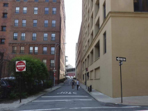
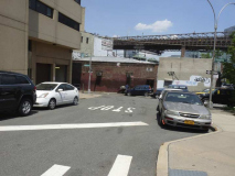
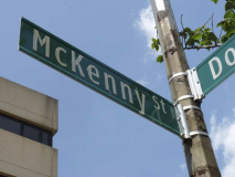
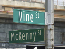
This tiny street wedged between Doughty and the intersection of Hicks and Vine went without a street sign for decades until the most recent round of street sign replacements. Older maps like the one shown above revealed that the street did indeed have a name, McKenny Street. The Brooklyn Historical Society blog has an item on it. All of its facing buildings were obliterated by the construction of the Brooklyn-Queens Expressway in the Fabulous 50s. It was named for a Brooklyn lawman named John McKenn(e)y who settled on the street.
Vine Street runs for one block between Columbia Heights and Hicks Streets between the Hillside Park dog run and the Jehovah’s Witnesses Watchtower complex, formerly Squibb Pharmaceuticals. Watchtower was sold in 2016 to a group headed by Jared Kushner, President Donald Trump’s son-in-law.
As for Vine Street, I’ll let Henry Hope Stiles discuss it in A History of the City of Brooklyn from 1867:
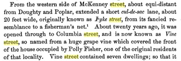

I have a lot more on these tiny streets on this FNY page from 2010.
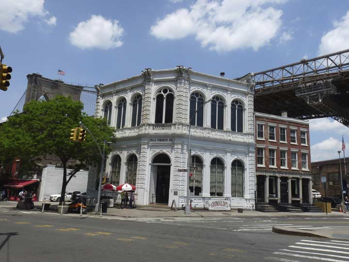
Returning to (Old) Fulton Street, #1 Front Street, a cast-iron front Italianate building, is one of my favorites in DUMBO, at least ever since it got this white paint job a few years ago. It was built in 1868 as the Long Island Safe Deposit Bank (William Mundell, arch.) The bank itself closed back in 1891, and the building has had a variety of uses ever since, today home to Grimaldi’s Pizza, which is no longer owned by Grimaldis.
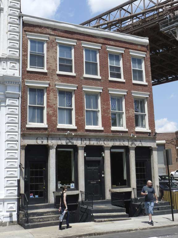
Next door is the Long Island (Fire) Insurance Company Building, which was constructed in 1824. It is home to a Mexican restaurant called Gran Electrica, or Big Electric. Thus, the signage, which looks 1830s vintage, is relatively new. The building was home to the insurance offices until 1867, when it was sold to the bank next door.
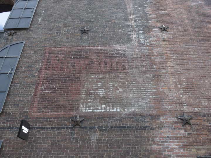
A “faded ad” at the west end of the Empire Stores building at Water and Dock Streets. I can only make out “New York” and “No Smoking.”
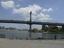
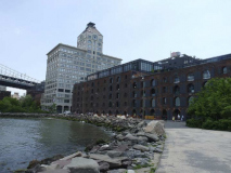
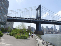
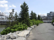
Empire-Fulton Ferry State Park has “metastasized” from a short stretch along the East River at New Dock Street, both east along John Street as far as Jay, and west and south as Brooklyn Bridge in sections as far south as Atlantic Avenue. In these views you have an unobstructed view of the Manhattan Bridge, as well as the back end of Empire Stores and #1 Main Street, the Clock Tower Building. Built by Robert Gair as the centerpiece of his box making empire in 1914. It was one of developer David Walentas’ first major conversions in the 1980s to luxury residential. A restaurant on the ground floor was one of DUMBO’s earliest such.
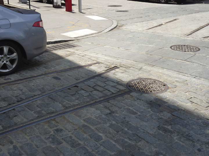
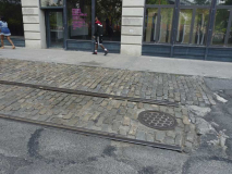
DUMBO’s streets are occasionally cobblestoned, with inactive railroad tracks visible on some of them. They formerly belonged to the Jay Street Connecting RR, which operated on the waterfront streets between 1904 and 1959. The role of this small railroad was to move freight cars from carfloats on the East River to the industrial buildings and warehouses that would load and unload them. The JSCR was built by the Arbuckle Brothers Coffee Company to facilitate transport of goods among its various factory and warehouse buildings. Eventually, the Arbuckles made a profit by expanding the railroad further and having it serve other businesses in the area.
The remaining visible tracks and cobblestones have already been replaced by flatter versions at intersections like Main and Plymouth, and the city is discussing whether to rip them out completely; as the region gets more well-heeled and gentrified, safety may trump character. Hopefully, the city does not take that ultimate step.
Epilog: the city has decided to “fix” the bricks. This won’t end well.
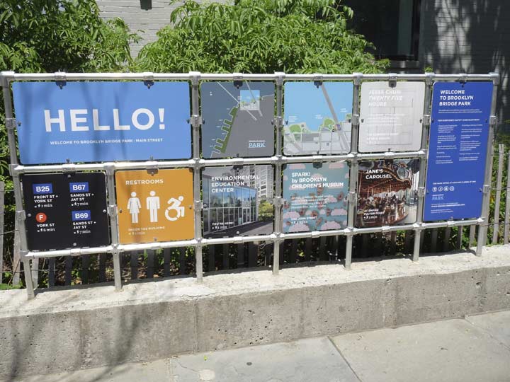
Apparently the city is now calling the entire green “necklace” along the East River between the Manhattan Bridge and Atlantic Avenue “Brooklyn Bridge Park.” Sometimes it’s hard to keep up. The city has installed transit information and park highlights at Plymouth and Washington. Note they are bolted onto the framework.
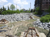
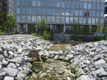
John Street Park, which runs two blocks along the East River above John Street between Adams Street and Jay Street, is the newest addition to the East River Park “necklace.” It opened in 2015 and features a tidal salt marsh, pathways, and a 13,000-square-foot lawn. Scattered about the marsh are industrial building footings found during construction, lending some historic character to the park [Brownstoner].
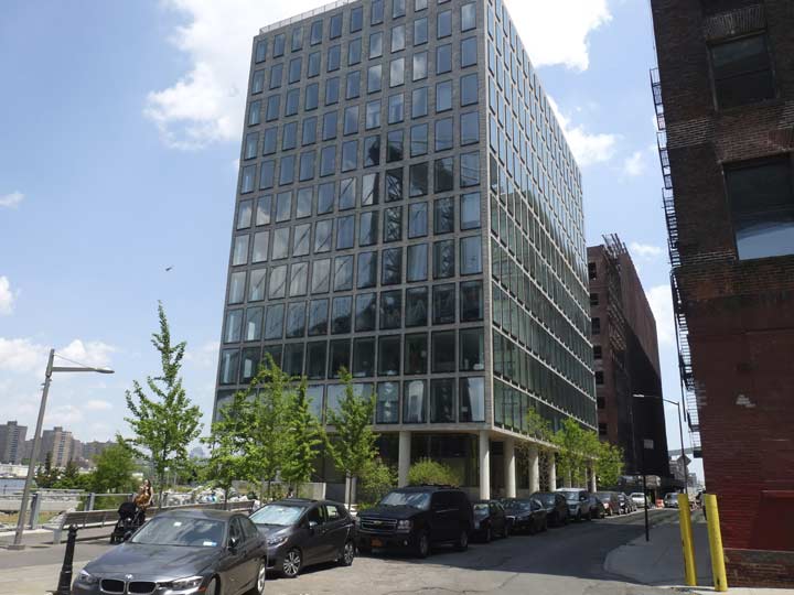
The park was built in tandem with the glass-walled condominium, #1 John Street, which features 42 apartments that are between 2500 and 3000 square feet each. The prices for such apartments, with river views, are each worth the value of the total amount of gold in Fort Knox. I’m only slightly exaggerating.
How DUMBO Became a Tourist Mecca [Village Voice]
Next: toward Vinegar Hill and Fort Greene
Check out the ForgottenBook, take a look at the gift shop, and as always, “comment…as you see fit.”
9/3/17


8 comments
Great work – always fascinated by that area. Just a correction; Lauren Bush Lauren is the granddaughter of “41” and the niece of “43” (one of “W’s” brothers is her dad).
OK–thanks
Since Day 1 (1988) Rush Limbaugh’s theme song has been “My City Is Gone”, a very far sighted choice. You comment “I feel; like a tourist in my own city”. Yes, I’m afraid you are. Ours was a nation that once celebrated progress, where a rising tide lifted all the boats. Sadly, progress has been replaced by progressives, who are a select group of oligarchs who don’t like or trust the rest of us. This why NBC forced Jay Leno off the Tonight Show. Fifty years ago DUMBO was just a downtown neighborhood; it wasn’t a place where I wanted to live but it was interesting. Now I see in your photos that on a summer day in front of some pretentious restaurant (Gran Electra) a slender girl wanders past wearing a silly hat & boots in spite of the summer heat. “Mad dogs & Englishmen go out in the mid day sun”. In 6 months will she be wearing shorts & a tank top? DUMBO is now used as a background to sell Cadillacs. Bad move GM, because the inhabitants are more attached to I-phones which they use to summon Uber. Kevin, more & more you’re a tourist on you own planet. There are other places where many have come to escape this sort of thing. We come from New England, the mid Atlantic states, the mid west (I have a friend who mourns the passing of his beloved Columbus OH), & of course California, the former field of dreams. We’ve moved on and we share our memories. We’d like to go “back to the future” but the oligarchs call us names & scheme to reconfigure elections. Happy Labor day & God bless America.
Yawn. Same bullcrap, different day. I can only imagine how productive a person you could have been, had you not been filled with hate for everyone not like you.
>I have never had a nickname, except the “Sir!canIhelpyousir” I usually get when I am someplace that others do not want me to be.
There has to be a word for the mix of courtesy and irritation in the tone the guy with the blazer/badge and walkie-talkie uses when he says this.
Kevin, excellent reporting. The pictures are cool — but it is the text that carries the day! The DUMBO carousel was once a centerpiece of Idora Park in Youngstown, Ohio. Idora was trolley park for Youngstown’s citizens. I was aware that the park’s carousel was sold and moved to NYC, but it was your reporting that re-reminded about its whereabouts.
Thank you for your research and writing!
I preferred this area when it was more historically preserved especially when I used to look at it from 2 WTC or even South Street Seaport. Unfortunately, this neighborhood isn’t immune to new development either. Even worse, the bike zealots want to remove the Belgian blocks just because they claim that it makes it very difficult to ride their bicycles even though they most likely won’t be using those roads throughout the year, but the damage would remain because of their demand and lobbying powers. I don’t see why they can’t just ride more cautiously and slowly, but that’s the bike zealots for you.
When Walentas did his renovations at 1 Main St, his work was under-written by loans from NYS-HUD. As with many NYS-HUD projects, the properties were hard to rent when first completed. So, to avoid having the developer default on the loans, NYS signs a lease on the space and puts offices there. That was how 2WTC became the down-state offices for so many agencies.
I think it was 1987 when the NY Department of Labor moved from 2WTC to 1 Main St. I worked there on the 5th floor. I think DOL had about 8 of the floors. So, the building did not go residential until the 90’s or later.
At that time, the spot where the carousel is now was a parking lot for commuters.
I can remember walking down Water St past a number of importers. The Empire Stores was vacant, but on the other side of Water seemed to have several businesses that imported spices. Hand trucks with burlap bags of black pepper were often stacked outside. Another place to clear your sinuses.
The ‘faded ad’ may not be an ad at all. At Water and Dock street was a garage run by New York City. They serviced everything from ambulances on down there – even the occasional fire truck. I seem to recall that they had signs indicating the existence of the garage as well as ‘No Smoking’ signs around the area.
At the time (the late 1980’s) Dock street ran down close to the water. The area that is now the park was some kind of junk or salvage yard, which I also think was run by the City.
In my photo collection, I have a shot of an engine and box car on the Jay Street Connecting that was taken by my father ca. 1931.
Great article!