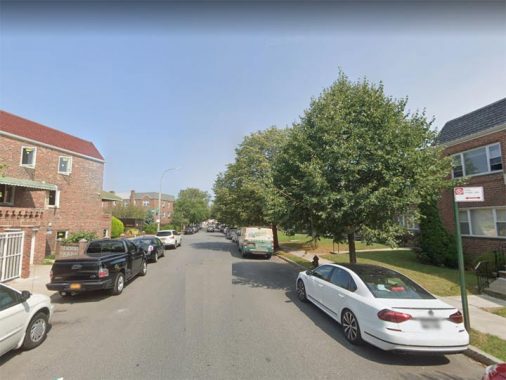
There are three Independence Avenues in New York City, a lengthy one and two short ones. The first one, depicted above, runs through the far northern Bronx in Spuyten Duyvil and Riverdale, running through both urban and rural territory. It begins at Palisade Avenue at Henry Hudson Park and runs north in narrow and wide sections to just past West 247th Street and then from Spaulding Lane north past Wave Hill to a dead end past West 24th Street; there is also a short pice at the end of Arlington Avenue.
The avenue was erroneously named, as a long-ago cartographer mistakenly placed Fort Independence in Spuyten Duyvil. The American Revolutionary fort was actually in hilly Kingsbridge Heights, where it duly has a street named for it: Fort Independence Street, situated west of the Jerome Park Reservoir.

Meanwhile, in Brooklyn’s Bath Beach, patriotically-named Independence Avenue runs in two pieces, one from Bay 8th Street to 15th Avenue, and another between 15th and 16th Avenues between Cropsey Avenue and Shore Parkway. The street was built on landfill also used to support Shore Parkway and was not named or built up until after World War II.
The third Independence Avenue is at the south end of the Staten Island Mall, a road that connects Richmond Avenue and Forest Hill Road.
Check out the ForgottenBook, take a look at the gift shop, and as always, “comment…as you see fit.”
7/3/20


2 comments
Independence Avenue is actually mapped to 256th Street in Riverdale. Some guy named Adler Mitchell is living large on City owned property.
worked at independece gardens on shore pkwy in early 90,