By SERGEY KADINSKY
Forgotten NY correspondent

On its route between Grand Army Plaza and Ralph Avenue, Brooklyn’s Eastern Parkway is a designated city scenic landmark, the first Olmstedian parkway. While its western end has a dramatic triumphal arch at Prospect Park, its eastern end at Ralph Avenue has no monuments. This is where the parkway simply narrows, loses its distinctive lampposts, and its extension takes a northeast jog towards Bushwick.
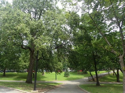
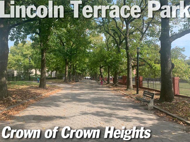
A block to the west of Ralph Avenue is the 17-acre Lincoln Terrace Park, a medium-size park situated on the slope of the glacial terminal moraine. This park is larger than a playground, but smaller than an Olmstedian destination park. The section of the park facing Eastern Parkway has the landscape of hills and winding paths. At the time of the park’s acquisition in 1896, there were few trees or homes here and one could see the ocean from this vantage point (thus the name “Ocean Hill” for the area immediately north of the park).
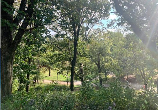
During the Dutch period, the terminal moraine “by the hills,” was noted in a treaty with local Natives as the northern boundary of the Town of Flatbush. That former border ran through Lincoln Terrace Park. But the neighboring settlement of Brooklyn argued that this meant “foot of the hills,” meaning more land for Brooklyn on this gentle slope. In 1678, the matter was decided in court. The boundary lost its meaning in 1894 when Flatbush was annexed by Brooklyn. In turn, Brooklyn was annexed by New York City in 1898. The street grid and property lines of Crown Heights leave no traces of the former Flatbush-Brooklyn boundary.
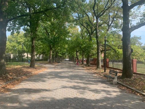
The park’s original southern boundary was President Street and as the population of Crown Heights grew, the city acquired two more blocks to expand the park south, and one block to its east. In the 1930s, Parks Commissioner Robert Moses encouraged active recreation in parks, which explains the playgrounds and sports fields in the park’s southern half. The demapped routes of President Street and Crown Street run as straight paths through the park. In 1932, this park was co-named for Arthur S. Somers, a business leader in Brooklyn in the first third of the last century.
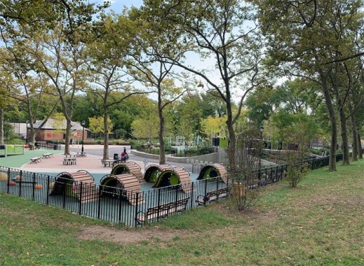
The newest element in Lincoln Terrace Park is the playground, which opened in 2019. The post-millennial design features miniature humps for climbing, a “spiderweb,” swings, and slides. It is one of 34 sites in citywide built by Landscape Structures. Others include Chelsea Green, Yolanda Garcia Park, and Beach 30th Street Playground, which I’ve visited.
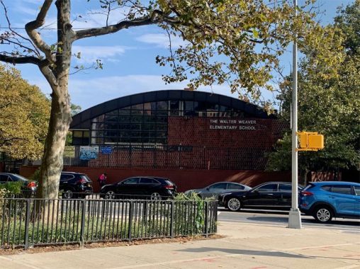
The park’s southern border is East New York Avenue, an ancient road that defies the surrounding street grids. This side of the park used to be The Oaklands, a forgotten neighborhood that Kevin documented in 2016. The section of The Oaklands across from the street from Lincoln Terrace Park was razed in the 1970s in favor of Rutland Road Plaza, a Brutalist set of towers with an elementary school.
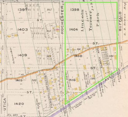
This urban renewal project is regarded as part of East Flatbush. On the 1898 Hugo Ullitz atlas, we see that the two-block grid-defiant Ford Street had a twin, Clancy Avenue, also named after a landowner. Today that road lies within the park’s footprint. Lots of Vanderveers on this map, descendants of a Dutch colonial family who had properties across Kings County into the early 20th century. Their Brownsville farm carried the name Keuters Hook for the mechanics who settled here in the colonial period.
Editor’s note: the jagged orange line running through the center is the line separating the Town of Flatbush from the City of Brooklyn, which was eradicated when Brooklyn joined Greater New York in 1898. Why this line zigged and zagged the way it does hasn’t been explained anywhere I’ve looked; my wild guess is that it follows the terminal moraine, the line of hills left by a glacier that retreated from here some 10,000 years ago and left a line of formidable hills in mid-Brooklyn and Queens.
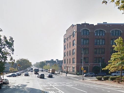
Following the popularity of Eastern and Ocean Parkways, the city of Brooklyn then laid out Bay Ridge, Fort Hamilton, Bay, and Rockaway Parkway, which have wider lanes and sidewalks, but no green medians and carriage paths. Rockaway Parkway begins its route at Lincoln Terrace Park and terminates at Canarsie Pier, where a ferry used to connect with the Rockaways. At the corner of East New York Avenue and Rockaway Parkway is PS 189, a design by prolific public school architect C.B.J. Snyder.
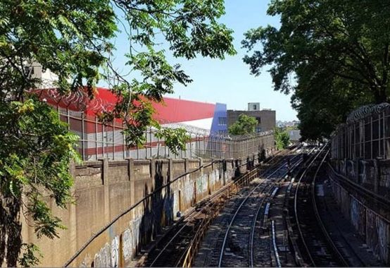
The eastern superblock of Lincoln Terrace Park features tennis courts and the portal where the Eastern Parkway subway line (#3 train) becomes the Livonia Avenue El. As is the case with Force Tube Avenue in Cypress Hills, this section of the park is bordered by Portal Street, a functional name describing its location.
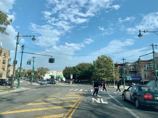
A block to the east, the landmarked segment of Eastern Parkway ends at Ralph Avenue, which was at the eastern boundary of Brooklyn in 1868, the year when the state authorized this parkway. This was open countryside at the time, and a monument here was far from anyone’s mind.
Sergey Kadinsky is the author of Hidden Waters of New York City: A History and Guide to 101 Forgotten Lakes, Ponds, Creeks, and Streams in the Five Boroughs (2016, Countryman Press) and the webmaster of Hidden Waters Blog.
Check out the ForgottenBook, take a look at the gift shop, and as always, “comment…as you see fit.”
10/8/20

1 comment
Your5 wildest guess is correct. There are a few documents from the 17th century demarcating the jagged line between Brooklyn and Flatbush to be the foothills for the “hills” which were then called the “Green Mountains” and later gave Crown Heights its name. I grew up about 2 blocks from this park and we use too led down the hills in the winter. BTW ..part of the neighborhood at the top of the park was called Lincoln Terrace before there was a park there