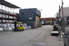
EXTENDING from Vandervoort Avenue just north of Metropolitan Avenue are a pair of odd dead ends that I would daresay would stump even the most died-in-the-wool Brooklyn street expert. Rewe Street, unlit but quite busy with various wholesale businesses, runs east a few hundred feet to where it hooks south, with the “hook” being Ivy Hill Road. In the past, Ivy Hill Road may have led to a now-vanished pier on English Kills called Chapman’s Dock. If there were ever any ivy-covered hills here they have long since vanished.
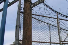
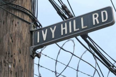
Ivy Hill Road was given its porcelain-coated sign with raised letters sometime in the 1940s or 50s. Only its remote location kept the Department of Transportation from noticing it and replacing it with a modern green and white. Uh oh…what have I done?
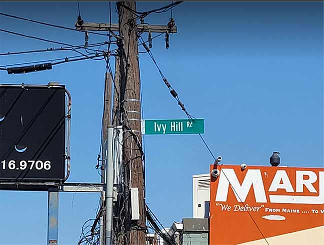
Plenty, as it turned out. As you can see in the title card image taken by Mark Foggin in 2023, the Department of Transportation has indeed discovered it and replaced it with a modern green and white, in upper and lower case as a now decade-old directive ostensibly from the federal government dictated.

Would it have hurt to keep the old enamel sign there? The road is little trafficked except for workers at the Marjam facility, primarily Monday through Friday. Probably not. But to the DOT, that’s not the point. The directive is to remove old signs with the purpose of identifying roads more efficiently, and they’d tell you they’re not running a museum. That said…I hope the old sign was preserved either in someone’s bedroom but preferably will wind up in a museum.
Sick transit, Gloria!
As always, “comment…as you see fit.” I earn a small payment when you click on any ad on the site.
4/22/23


6 comments
Rewe and Ivy Hill are among the very few Brooklyn streets not on Google Street View. Possibly, Google thought they were private roads.
Rewe Street IS marked. Ivy Hill Rd is not, although if you click on “Green Depot,” it gives you the street address of “1 Ivy Hill Road.”
Ivory Hill Road is marked if you zoom in x2 on both Bing & Google maps.
Neither Rewe Street nor Ivy Hill Road existed prior to 1916. This is Brooklyn, Vol. 1, 2nd Part, Double Page Plate No. 36; Part of Wards 16 & 18, Section 10; [Map bounded by Richardson St. (Amos St.), Newtown Creek, Seneca Ave., Meserole Ave., Bushwick Ave.; Including Old Woodpoint Rd., Skillman Ave., Humboldt St., Richardson St., Kingsland Ave.] E.B. Hyde, 1916. You can see that the entire area was undeveloped at the time. They were definitely laid out after the area underwent large-scale industrialization.
https://digitalcollections.nypl.org/items/69582cf7-d6cf-ba72-e040-e00a18065eba
I wonder how much it went for on Ebay
The sign is in outstanding condition.