I have been in Red Hook before …
Transoms of Red Hook, July 2004
Coffey and a Donut, October 2008
Silent Hook, June 2012
and plenty more, plus a ForgottenTour in the pouring rain in May 2003, which included visits to Sunny’s Bar and what was then the Liberty Heights Tap Room …
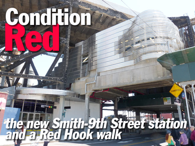
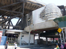
… and here I am again, because I am drawn to the place like the Mets’ Ike Davis to a curveball in the dirt. On this occasion I was here to see the new Smith-9th Street elevated station, one of two elevated IND stations in the city (unless you consider the Long Island Rail Road stations in the Rockaways purchased by the city in the 1950s part of the IND, since they connect to the IND Fulton Street line on the A train). For recent buffs the IND was once one of three NYC subway companies. The others, the Interborough and Brooklyn-Manhattan Transit, were constructed by private companies, while the INDependent was built by the city beginning in the late 1920s.
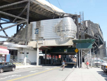
Unlike the other two companies the IND ran almost completely underground, with the exception here at Smith-9th, and it was spectacularly elevated — the highest elevated station in the city, to conform with old regulations to permit tall-masted ships to navigate the Gowanus Canal. It looks different than other elevated stations, too — the metal trestles and pillars were completely cladded in concrete. That concrete began to come loose and fall after nearly 80 years of pounding (it opened in 1933), so the city embarked on a complete renovation program, which included redo-ing this station. The adjoining 4th Avenue elevated station is also undergoing repairs that were far from complete as of June 2013.
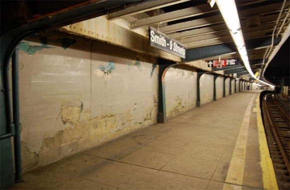
Smith-9th platform before renovation. This was always a no-frills station — as a rule, IND stations were cavernous and roomy but all featured the same station ID mosaic tiling system. The IND dispensed with even the mosaic nameplates here, with one exception I’ll get to next. As you can see there were no windows whatever. photo: nycsubway.org
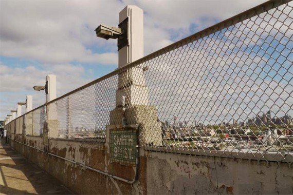
On the open parts of the platform, the city installed Moderne-style light stanchions (the incandescent lights were replaced by high-intensity lamps in the 1980s), a protective fence to prevent jumpers, and small mosaic nameplates, the only such the IND installed outdoors. The recent renovation has saved them…sort of. I will get to that. photo: nycsubway.org
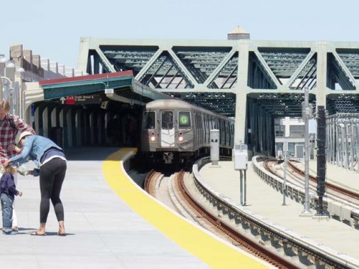
Since I began and ended this walk at Smith/9th, I’ll discuss some aspects of the remake at the start, and more at the end. You probably will never see a subway station in this pristine a condition again, at least the parts open to the public. The platforms were completely rebuilt, with fresh concrete and edge warning strips.
Here a G train enters the station. Originally known as the GG Brooklyn-Queens Crosstown line, the G is the only NYC subway line to ignore Manhattan; the only opportunity comes at the Hoyt-Schermerhorn station, where it adjoins the A/C IND lines to Manhattan, but a connection was never made. Conceivably the G could use the F train tracks into Manhattan, but it never has, which would be pointless, as its unique tracks take it through Bedford-Stuyvesant, Williamsburg, Greenpoint and into Long Island City. The G formerly went as far east as Continental Avenue via Queens Boulevard, but it was cut back, only to be extended south to Church Avenue.
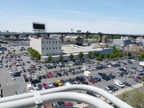
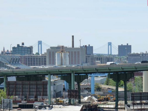
The 85-foot-plus elevation of the station conceivably could have made for some spectacular views on each side of the station. Some have derided the available views as mundane, but it all depends on where you stand on the platform and where your tastes lie. Looking west affords views of a Lowe’s Housewares parking lot, the Gowanus Expressway (similarly raised high over the canal) and the far-off Verrazano-Narrows Bridge.
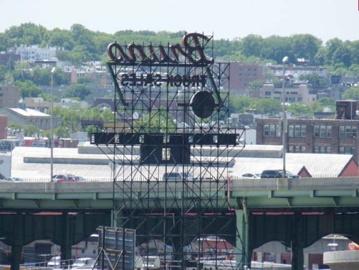
Looking further southwest reveals one of three huge illuminated neon signs visible from the platform, and Green-Wood Cemetery beyond.
I’ll get to the other signs later but if you want to jump the gun, I discussed all of them on an early FNY page.

There’s a lengthy canopied section of the platform to keep rain and snow off waiting passengers. I don’t know if it was deliberate, but as you can see, a bit of the concrete was left unrenovated and unpainted. Perhaps it’s just a slip-up, but you’ll recall that during the Grand Central Terminal restoration in the 1990s, a very small slice of the overhead zodiac ceiling art was left uncleaned — just to provide a contrast between the old condition and the new.
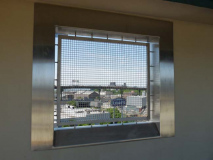
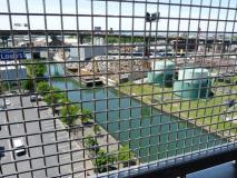
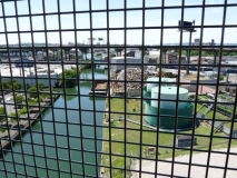
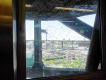
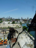
Welcome additions to the new station are several square openings in the walls, protected by mesh wire, allowing a view below which includes the canal, the reason we’re so high up in the first place.
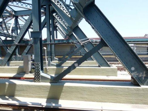
Even the trestle supports were given fresh paint. You probably won’t see another new coat of paint here for a while.

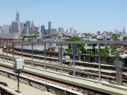
The “money shots” on the Smith-9th platform are on the north end of the southbound, which presents views of the Manhattan skyline, though you have to include too much track for my taste. #1 World Trade Center has replaced the twin towers as the centerpiece. I walked up a bit to get the King of All Buildings in the picture.
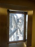
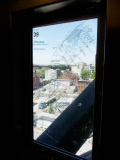
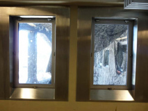
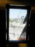
One flight down the steps leads to the mezzanine level of the station, where there are staircases that go up to the tracks (there are two levels of escalators but still a steep walk up to the tracks). Here we see another element of the station renovation, a series of windows that have been inlaid by artist Alyson Shotz with 18th Century maps of the harbor adjoining Red Hook and what’s now called Cobble Hill, showing depths, readings, etc.
However, the reconstruction of the concrete viaduct is not yet finished and the view from some of the windows is of the ugly canvas protective cladding that has coated the concrete for over ten years now. In addition, pigeons have already begun their own relentless task. I wonder if there is a provision to clean the outsides of these new windows.
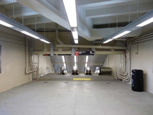
The mezzanine and escalator bank is still no-frills as always.
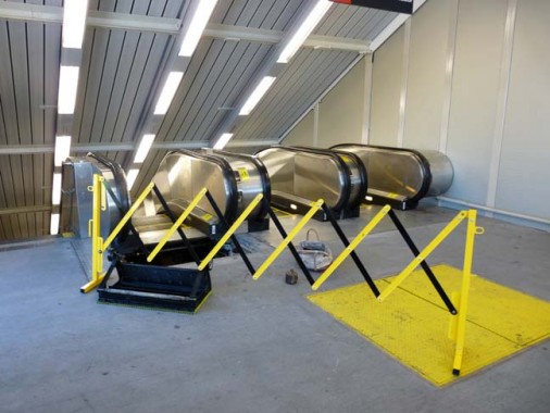
Though the station has been reopened only a couple of weeks, one of the escalators is already out of service! Or perhaps it has yet to be placed in service.
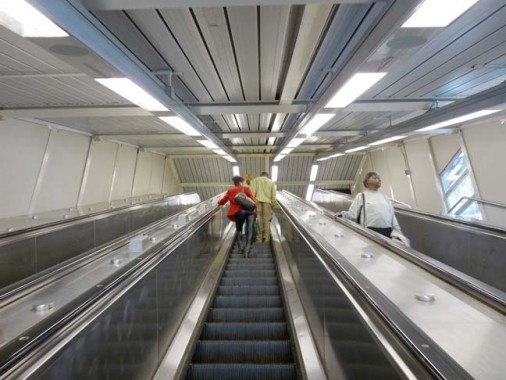
A look on the ascending escalator, one of the steepest in the system. It can’t beat the Roosevelt Island station, also on the F line, though — that station is so deep there are four levels of escalators! And you get good views of women in leather pants.
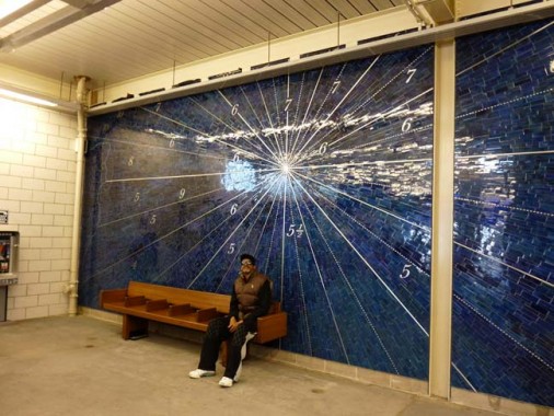
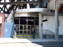
A handsome mosaic wall design greets passengers upon entry. According to the MTA, “The rear wall of the station building may seem like an abstract line drawing created in stainless steel against a vivid blue tile mosaic background. As one moves closer, it is revealed as a nautical map, with numbers for depth and letters for directions. The mosaic map was adapted from a 1779 nautical map of New York Harbor as seen from the shoreline of Brooklyn.”
Not sure what to say about the exterior — it seems made of shiny metal bands that oddly bulge here and there. What the MTA had to do here, with that seriously ugly viaduct and stanchions, is try and make a silk purse out of a sow’s ear. To me it just looks like it’ll look pretty dated as the years go by.
I’ll have more to say about other Smith-9th renovations at the end of Part 2, since I went back to get the train home after I finished my Red Hook ambulations.
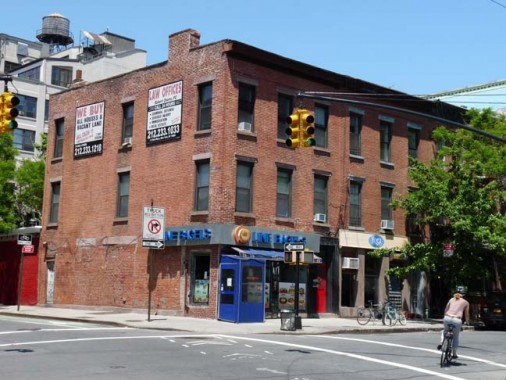
I’ve mentioned Line Bagels on Smith Street before on FNY. The short version is that it was originally called F Line Bagels, with the “F” in an orange bullet, as on the train cars. The MTA sued for a copyright violation, though it tolerates other copycat signs like this in Manhattan. The store used to defiantly put an X through the orange bullet, but to keep the peace, they’ve settled on just “Line Bagels.”

This neat little row of dormered buildings on Smith Street used to be owned by Russo Realty, which plastered its name in big letters and small all over the houses. I told the Russo story on my Gowanus Canal page.
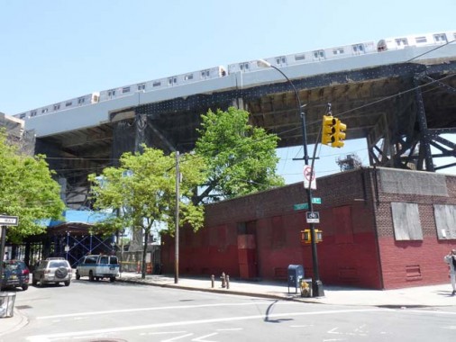
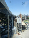
The subway viaduct makes an impressive sight as it arches over Smith Street. It comes back to earth quickly and the next stop to the north, Carroll Street, is underground. Will that black canvas ever be completely removed?
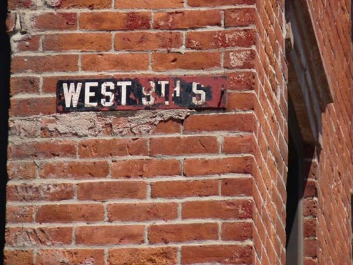
West 9th Street is a western extension of 9th Street between Smith and Columbia Streets. It’s a rather odd name because there is a different West 9th Street in Gravesend. (This happens elsewhere in Brooklyn: there are two West Streets, two Stewart Avenues, two Schenck Avenues). This was originally called Church Street, but the switch to West 9th seems to have been done relatively early, even before Brooklyn’s 1898 annexation to Greater New York.
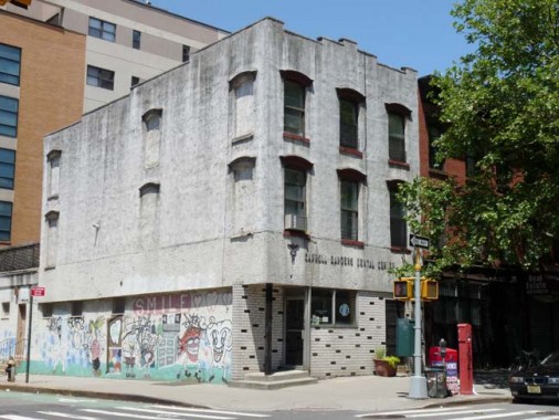
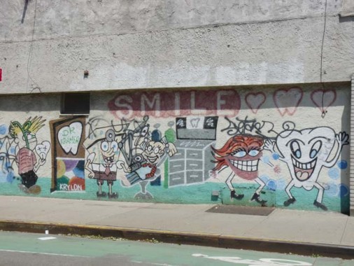
I’ve always been fascinated with this dental office on Court Street and West 9th. It looks like the sort of joint where the drills are blunt and they skimp on the Novacaine.
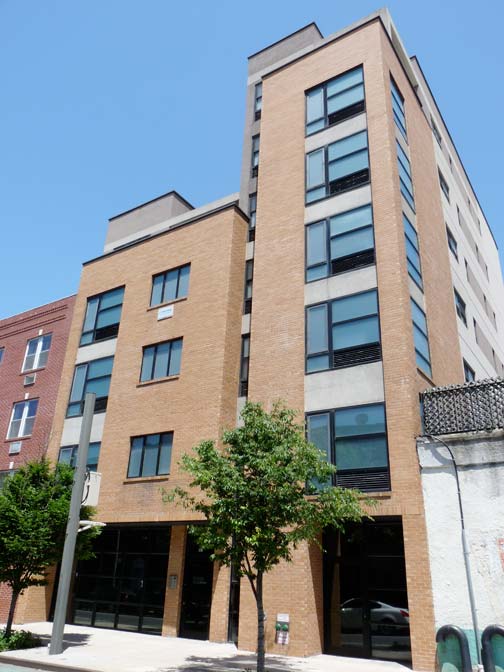

Residential architecture, new and old, on West 9th between Court and Clinton. Actually the new stuff is alright as far as new NYC architecture goes, with a minimum of meters clogging up the outside, and whatever fire escapes there are, are in the back.

After passing under the roaring Gowanus Expressway, you enter into Red Hook proper — we had been in the south end of Carroll Gardens before. I found this exposed sign for a long-vanished restaurant on Clinton Street.
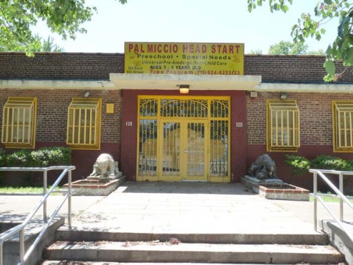
This preschool on West 9th and Clinton is at the edge of the Red Hook Houses. The bars on the windows are almost comical in their size; as we’ll see on this walk, in order to keep the bad guys out, you have to imprison yourself, as well. Note the sculpted mama bears and cubs on either side.
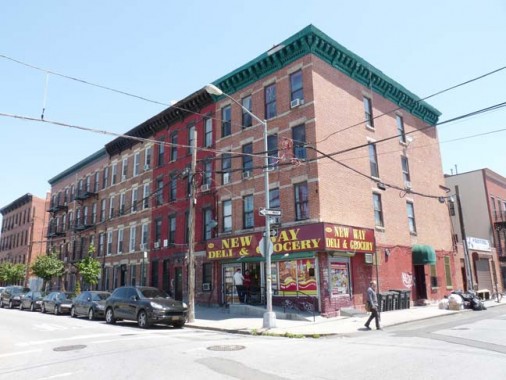
Henry and West 9th, typical multi-family buildings of the early 20th Century, with a corner deli.

Despite what you’ve been hearing about how arty and popular Red Hook has been getting, there are a lot of lots, empty or otherwise, surrounded by metal fencing and barbed wire… I call it the Real Hook. This lot contains a lot of vehicles that may have been impounded by the NYPD.
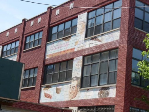
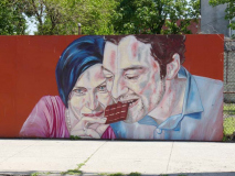
Former commercial bakery on West 9th between Henry and Hicks, now a walled-off residential building, heavily guarded. There are still pictures of cakes and brownies on the outside, and the cheerful people who enjoy them. There are even more toward the rear of the building, but I always look like I’m up to no good, so I didn’t try and get past security.
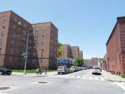
Red Hook Houses, West 9th and Hicks Streets. Still the heart of Red Hook after over seventy years, they form an effective check against the overgentrification and Williamsburgization going on in the western end of town. Essentially, they mean poor people can still live here. Now if we could get rid of the guns, drugs and crime, which seem intractable in projects countrywide.
“The project, sponsored by the New York Housing Authority, was designed by Alfred Easton Poor. It consists of twenty-five buildings, each composed by a number of “cross” units joined together in various ways. The development [offers] 2, 562 apartments in all at a monthly rate of less than six dollars a room.” —WPA Guide to New York City, 1939
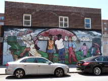
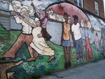
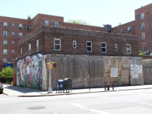
It looks like this pleasant mural, with the theme “Everyone Holds a World,” created in 1997, may be a casualty of an impending teardown or renovation of the nondescript building at Columbia and West 9th.
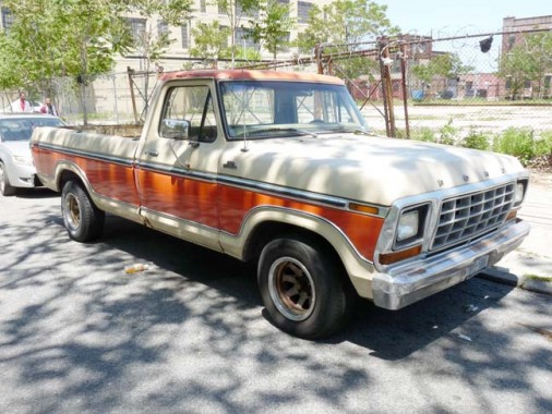
A 1970s Ford F150 Ranger on Verona Street opposite Coffey Park. (What year specifically?)

Monarch Luggage Corp., now a residential building at Dwight and Verona, also housed the “American Can Company Stopper Factory” since 1904. The building dates to 1920 and converted to rental units in 2002.
Here’s the story of two of the building tenants from a 2005 NY Times article.
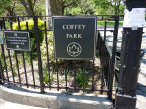
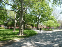
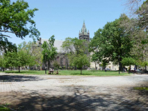
Red Hook Park comes in two chunks. The smaller one, since renamed Coffey Park, is between Dwight, Richards, Verona and Pioneer, while the southern one, much larger, is the home of the soccer fields that attract spectators from all over town, and the South American-Caribbean food trucks that do likewise. There is a view of the Roman Catholic Church of the Visitation of the Blessed Virgin Mary across the park.
Coffey Park, like nearby Coffey Street, is named for Michael J. Coffey (1839-1907), the former state senator, alderman, and district leader representing Red Hook. Coffey was born in 1839 in County Cork, Ireland, and then immigrated to the United States with his parents at the age of five. He went to school in Red Hook and soon began working in the Brooklyn Navy Yard. When the Civil War began, Coffey joined the United States Navy. He served on the gunboat Monticello, and quickly earned the respect of his commanding officer. At the conclusion of the war, Coffey returned to Red Hook and became the Democratic district leader for Red Hook Point. The Red Hook district was locally known as “Coffeyville” by the end of his 39-year tenure as district leader. NYC Parks

The Roman Catholic Church of the Visitation of the Blessed Virgin Mary was established in 1854 to serve the Irish and Italian dock and factory workers in the Red Hook section of Brooklyn. The first church, located on Ewen [now Verona] and Van Brunt Streets, was dedicated by Bishop Loughlin on October 29, 1855.
A second church, built of gray stone and measuring 175 feet long by 60 feet wide, was erected in 1878, but was destroyed by fire on July 12, 1896.
The present Gothic church was built in 1896 on Richards Street between Verona Street and Visitation [Place], and is across the street from Red Hook Park. A two-alarm fire damaged the interior of the church on December 30, 1949 when a 9-year-old boy accidentally dropped a hot taper into the creche in front of the altar. NYC AGO
The street adjoining the church on its south side, Visitation Place, was renamed from Tremont Street in 1909.
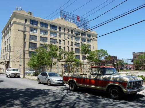
The big neon billboard sign, R for Red Hook, is probably my favorite in the city because of its incompleteness and the intransigence of the remaining period and “R” toward being removed. It had formerly advertised the E.J. Trum paper manufacturer on Richards and Verona, and when furniture manufacturer John Turano bought the place, he tried to remove the sign, but the punctuation mark and letter wouldn’t move and so they stay.
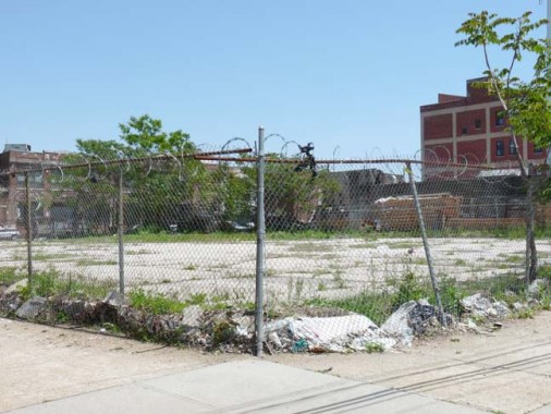
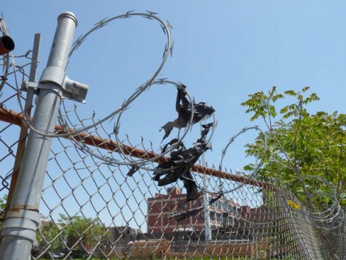
More Red Hook barbed wire, this time protecting a weed-strewn empty lot at Richards and Verona. Must be a particularly valuable piece of real estate. Barbed wire is always accompanied by shards of torn up black plastic bags.
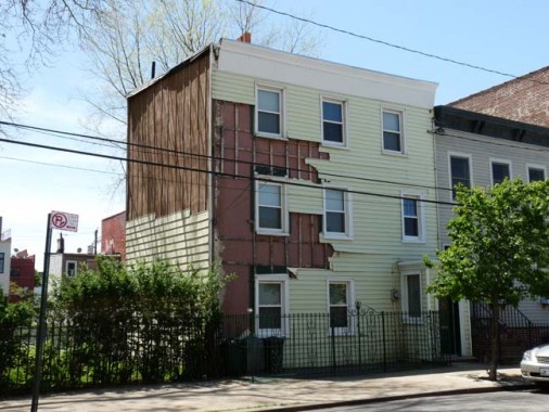

Continuing on Verona, a possibly Sandy-damaged wood frame, and a disused church identifiable by a cross. What church was it?
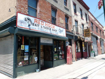
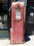
Van Brunt Street is Red Hook’s main shopping and entertainment mecca. There are several old awning signs put to new uses as well as several pre-aged signs as well, such as the Red Hook Bait and Tackle Shop (Pioneer and Van Brunt) was indeed a bait and tackle shop before its owners took over in 2004 and opened a bar/music venue. They recycle an old gas pump. Its website has a capsule history of Red Hook.
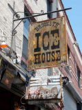
Next door is a new bar/restaurant, Brooklyn Ice House; the neon barbecue sign was probably rescued from the discard heap, or by its predecessor, Pioneer Bar B Q.
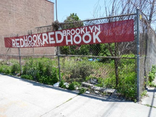
These red banners have popped up all over the neighborhood.

The cornerstone on the Red Hook Pentecostal Holiness Church, on Wolcott Street off Van Brunt, reads 1898. Cornerstones are time machines. Check the arched porch topped by a quatrefoil fence. Quatrefoil? 4-leaf clover shaped.
Street namesake Oliver Wolcott signed the Declaration of Independence, but the largest concentration of streets named for Signers is further east, in Bedford-Stuyvesant and Williamsburg. His son, Ollie Jr. succeeded Alexander Hamilton as US Secretary of the Treasury.
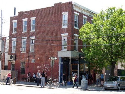
Fort Defiance, the bar/restaurant on the corner of Van Brunt and Wolcott, was named for an actual Revolutionary-era fort.
[The] Fort Defiance complex … consisted of three redoubts on a small island connected by trenches, with an earthwork on the island’s south side to defend against a landing. The entire earthwork was about sixteen hundred feet long and covered the entire island. The three redoubts covered an area about four hundred by eight hundred feet. The two principal earthworks were about one hundred fifty by one hundred seventy-five feet, and the tertiary one was about seventy-five by one hundred. On July 12, the British frigates Rose and Phoenix and the schooner Tyrol ran the gauntlet past Defiance and the stronger Governor’s Island works without firing a shot, and got all the way to Tappan Zee, the widest part of the Hudson River. They stayed there for over a month, beating off harassing attacks, and finally returned to Staten Island on August 18. It would appear that gunfire from Fort Defiance did damage to the British ships. wikipedia
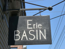
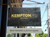
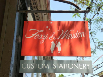
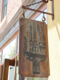
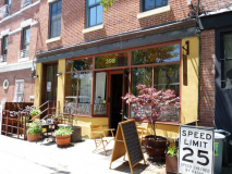
Several shops along Van Brunt have taken to installing hand painted shingle signs, a trend I applaud. A jewelry store, “Erie Basin” is named for the deep water shipping terminal in Red Hook that docked vessels coming from the Great Lakes via the Erie Canal. These shops produce handcrafted, custom-made goods such as purses, stationery and home goods.
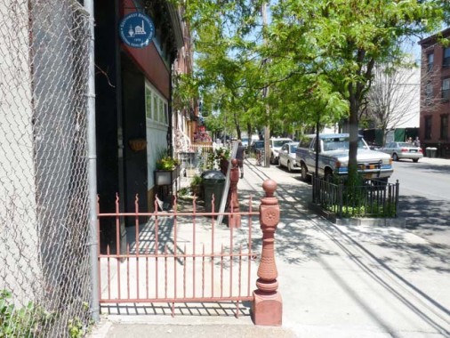
An original entrance railing sticks out onto the sidewalk on Van Brunt Street near Coffey Street.
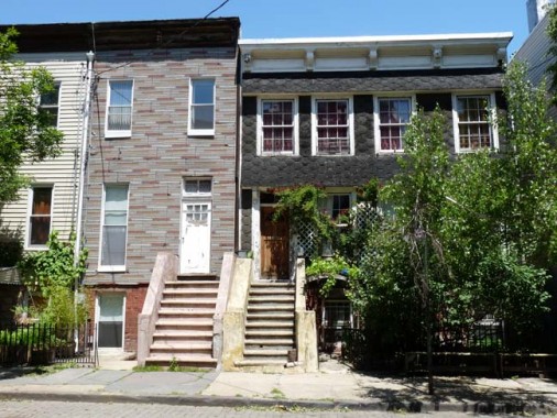
Some of Red Hook’s ancient housing stock, on Coffey between Van Brunt and Conover Streets.
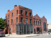
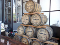
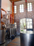
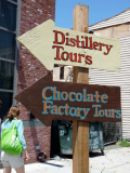
At the NW corner of Coffey and Conover Streets I first encountered a burnt-out husk of a brick building in 1999. I was interested in it chiefly because it has a chiseled sign still calling it Coffey Street’s old name, Partition Street. In the intervening years a number of businesses have tried and failed in the space, including a parachute manufacturer. Today, Cacao Prieto (named for its founder), a gourmet chocolate/small batch whiskey producer, holds forth in the space. At first the combination seems incongruous, but much of western and northern Brooklyn now features custom-produced comestibles (the word “artisanal” is banned from this website). I wandered in and samples of both the whiskey and the chocolate are available, as well as tours of each factory/distillery.
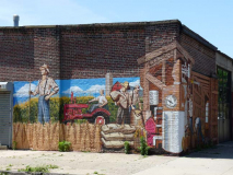
Artwork on the brick buildings on either side of Coffey Street refers back to the distillery.
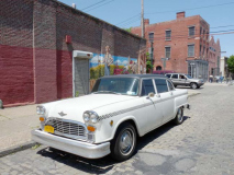
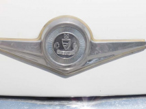
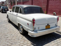
Nearby I found a snow-white Checker Cab on Conover just west of Coffey. What year?
Boxy, roomy Checker cabs were produced for cab companies in many cities countrywide beginning in the 1920s, and the same basic design was used from 1956 until production ceased in 1982.
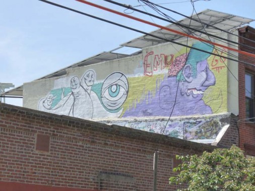
Some artwork on Coffey Street, featuring creatures resembling Al Capp’s ‘schmoos’ from Li’l Abner.
 The lovable creature laid eggs, gave milk and died of sheer ecstasy when looked at with hunger. The Shmoo loved to be eaten by humans and tasted like any food desired. Anything that delighted people delighted a Shmoo. Fry a Shmoo and it came out chicken. Broil it and it came out steak. Shmoo eyes made terrific suspender buttons. The hide of the Shmoo if cut thin made fine leather and if cut thick made the best lumber. Even the Shmoo’s whiskers made splendid toothpicks. Steve Krupp
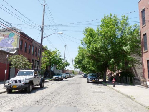
Coffey Street looking north, complete with Belgian blocks.
6/10/13

14 comments
Re: What year?
The only way to distinguish the model years of the F-150 & the Checker is to read them off the NYS-DMV windshield registration stickers. The 1978-79 F-150’s were virtually identical as were the 1973-82 Checkers (the only way I could tell that the Checker is 1973-82 is because of the federally mandated bumpers).
http://blog.hemmings.com/index.php/2013/06/11/david-markin-former-checker-owner-and-ceo-dead-at-82/?refer=news
A little background on Checker
West 9th Street is a western extension of 9th Street between Smith and Columbia Streets. It’s a rather odd name because there is a different West 9th Street in Gravesend. (This happens elsewhere in Brooklyn: there are two West Streets…
Actually, there are three West Streets in Brooklyn, counting the one in the Brooklyn Navy Yard.
Nice perambulating on this one Kevin. I can see why security people would be attracted to you judging by the leather pants comment. And I totally agree with the banishment of the a word. Pretension just ain’t your bag.
I can look, can’t I?
But, of course my friend.
And there’s 2 Atlantic Avenues: The main one we all know & another one in Sea Gate.
Kevin
The year of a car or truck is given on the New York State registration sticker in the window.
This area looks kinda rough….yet fascinating nonetheless. Gotta say though…..spongebob giving angelica pickles dental work….and my husband wonders why i’m not too enthused about seeing dentists….
Thanks for mentioning us. You must have visited when we were still in transition-mode of our post-Sandy relocation. We’re now at 185 Van Dyke, the very end of the road past the dead-end sign adjacent to Valentino Park. Also, the limonade and water (NYC’s finest double-filtered tap) are flowing.
The broken escalator at the station reminded me of a Mitch Hedberg joke: “An escalator can never break: it can only become stairs. You should never see an Escalator Temporarily Out Of Order sign, just Escalator Temporarily Stairs. Sorry for the convenience.”
‘Continuing on Verona, a possibly Sandy-damaged wood frame, and a disused church identifiable by a cross. What church was it?”
That building was the auditorium for Visitation School (located on Visitation Place [now a justice building of some sort..]) The school had a pass through in the back of the school on the first floor. Ea which the school children could go through and be in the basement of that auditorium. There was a circular staircase that the children would climb to get to the back of the stage and perform plays, etc. I believe in the 1930 – 40, one of the rooms in the basement of the auditorium was used as a library. Sometime in the 1960s, boxing matches were held there. Basketball games were held there as well.
My family lived at 467 Columbia Street “In the Red Hook projects” when I was born in 1941. We soon moved to 30 Centre Mall where we lived until moving to Pomonok in Queens in 1951. I still have many memories of my childhood in Red Hook. If you’re interested in “picking my brain”, I’d be glad to share them with you.
eg. The commercial bakery was named Larson’s (sp?) and it had a large Art Deco retail store adjacent to it. Coffey Park was Coffey Park even then. We used to climb on the doughboy statue now in front of the VFW Post on Van Brunt when it was still in the park. Etc.
Tom
I am from Red Hook.My dad owned a garage on Hicks St.between W9th and Huntington St.,Carmines Auto Repair.
My uncles had a commercial laundry business, Aroura White Rock Laundry next door. My uncle lived on W9st across from the PAL Miccio Center until 2001.He also kept a horse in a stable at that location.