Greenwich Village has always had a well-developed street layout that made it impossible for city commissioners to impose the street grid plan that was given to the rest of the city in 1811. Though Greenwich Village had been very hilly in the early 1800s, its hills have been leveled over the years. Its narrow, winding streets and occasional alleys still remain from its early days. The Village is an alley-hunter’s dream, with plenty of “mapped” alleys as well as several secret ones from which the public is kept out by lock and key. Here are just a few of the alleys of The Village.
Grove Court
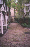
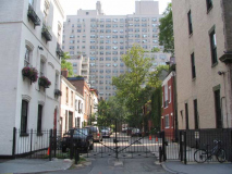
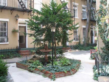
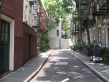
When it was constructed between 1848 and 1852, Grove Court, located on the bend of Grove Street between 7th Avenue South and Hudson Street, it was a revolutionary concept in urban home construction. Why? Because in the pre-Civil War period, no respectable family would live in a house not fronting on the street.
![]()
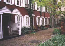
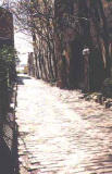
So, Samuel Cocks, co-owner of a grocery at 18 Grove Street, decided to build housing for tradesmen and laborers that would make excellent customers for his grocery. Originally, Grove Court was nicknamed “Mixed Ale Alley.” Grove Court has changed character since then. It’s now among the most exclusive Village streets. Guarded by a gate, keys are available only to homeowners in the street; visitors are buzzed in. The homes are fronted by a red brick sidewalk.
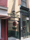
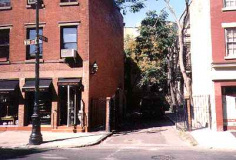
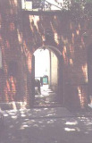
A look from Grove Court to the gate that separates it from Grove Street.
Picturesque Grove Court was the setting for O. Henry‘s story “The Last Leaf” about an ailing young woman and a failing artist. It was filmed for the 1952 movie O. Henry’s Full House.
Charles Lane
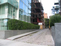
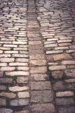
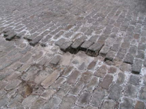
Charles Lane, between Washington and West Streets north of Charles Street, most likely marks the northern boundary of the 18th-century Newgate State Prison and is named for Charles Christopher Amos, who owned the estate on which the present Charles Street and Lane are currently. (Christopher Street is also named for him; Amos Street became West 10th Street). Charles Lane retains its old Belgian Block paving.
In the past, Charles Lane has been home to reclusive “Gravity’s Rainbow” author Thomas Pynchon.
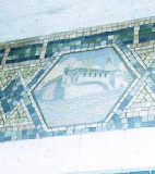
Though the Newgate State Prison stood from 1797 only until 1828 (when it moved upstate and became Sing Sing) it is remembered presently by both Charles Lane and by a Squire Vickers mosaic in the IRT Christopher Street subway station.
On its West Street end, Charles Lane now runs between the twin towers comprising Richard Meier‘s glass-faced Perry Street exclusive condominium development.
MacDougal Alley
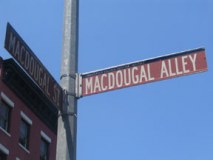
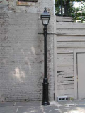
MacDougal Alley, off MacDougal street just south of 8th Street, was reportedly the very last street in New York City to be lit by gaslamps, until at least the late 1930s.
It was built in the 1830s to access stables servicing nearby Washington Square North. By the early 1900s, the automobile was rapidly replacing horsepower, and the stables were renovated into artists’ studios.
MacDougal Alley is the former home of artist Gertrude Vanderbilt Whitney, who founded the Whitney Museum of American Art, and poet Edward Arlington Robinson.
Washington Mews
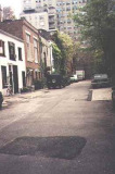
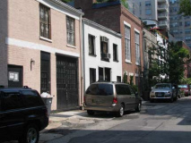
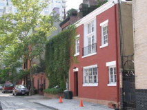
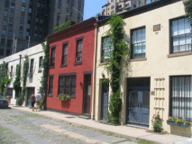
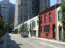
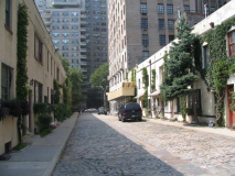
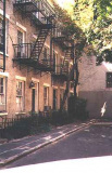
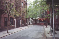
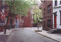
The brother alley to MacDougal Alley, Washington Mews, between 5th Avenue and University Place just north of Washington Square, also housed stables originally, which have all been converted to housing. The houses on the south side of the alley, built in the 1930s (at right) are younger than the more ancient original stables on the north side.
Washington Mews is on property belonging to Staten Island’s Sailor’s Snug Harbor, a former 19th-century home for “aged, decrepit and worn-out sailors” in a self-contained complex complete with church, theatre, recreation hall, chapels, fishpond, gazebo, and greenhouse. The complex, featuring one of NYC’s largest collections of Greek Revival buildings, is open to the public.
Washington Mews has kept some of its brick roadwork and an old blue street sign from days gone by.
Milligan Place
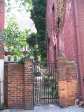
Identified only by cast iron script on top of its gate on Sixth Avenue north of Tenth Street, Milligan Place features 1850s-vintage homes built on the property of Samuel Milligan, the original owner. Milligan’s daughter Isobel married his surveyor, Aaron Patchin, who is remembered by Patchin Place (below). Among the former distinguished residents of Milligan Place is the famed playwright Eugene O’Neill. Like most Village alleys, Milligan is protected from the public by a locked gate.
Originally, Milligan Place was entered from Skinner Road (later Christopher Street).
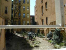
View into an adjoining playground and seen from across Sixth Avenue .
Patchin Place
Seemingly straight out of a 1930s Berenice Abbott photo, Patchin Place, fronting on West 10th Street, has barely changed since Abbott’s era.
Named for Samuel Milligan’s land surveyor, Patchin Place, on West 10th Street (formerly Amos Street) just west of Sixth Avenue, is more conventionally laid out that its partner Milligan Place in that it’s a straight cul de sac without Milligan’s odd angles. Famous residents of Patchin Place have included poet E.E. Cummings and authors John Reed and Theodore Dreiser. Patchin Place also contains NYC’s last functioning gaslamp. The lamp dates back to the gaslight era and has since been electrified.
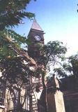
No one except Patchin Place residents get to see it because of the locked iron gate, but Patchin Place affords one of Greenwich Village’s most picturesque views of the old Jefferson Market court (above), formerly adjacent to a women’s prison and today a library. It’s among the Village’s most recognizable landmarks.
Detail from design on a Patchin Place chimney.
Minetta Street
Twisting, turning Minetta Street starts at the rather straighter Minetta Lane between Sixth and MacDougal and somehow winds up at Sixth and Bleecker. It originally followed the ancient Minetta Brook, which rises at about 6th Avenue and 21st and meanders southwest to the Hudson. The brook was submerged in the 1820s, but still plays havoc with basements in the area during heavy rains. In the 1820s the area was among NYC’s first black neighborhoods: the region was known as Little Africa. New York University has since diverted the stream: it no longer flows under the paths named for it.
There also used to be a Minetta Place and Minetta Court, but these had been obliterated by new housing since at least the 1930s.
In the 1890s, the “Minettas” were the site of one of the city’s most dangerous slums, as described by Stephen Crane in an 1896 essay.
St. John’s Lane
St. Johns Lane, mainly the province of delivery trucks, is more a part of Tribeca than Greenwich Village; it juts between Canal Street and Beach Street west of 6th Avenue. It recalls the now-demolished St. John’s Chapel.
York Street
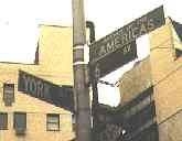
Tiny York Street, only a few feet long, runs between St. John’s Lane and 6th Avenue south of Canal Street. It’s named for the town in England that New York City was named for (uptown York Avenue was named for a World War I hero, Sgt. Alvin York).
Bloomfield Street
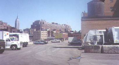
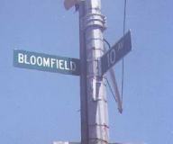
Bloomfield Street is a pier that extends into the Hudson River at 10th Avenue and Little West 12th Street. Although it is the present home of a Sanitation garage, the bustling Gansevoort Market stood on this site in the 1800s and early 1900s. Its namesake, Genral Joseph Bloomfield, commanded New York’s harbor defenses in the War of 1812; Bloomfield, NJ is also named for him. I think General Bloomfield would rather his name be dropped from this street, which is all but inaccessible except for joggers and Sanitation trucks.
Pamela Court
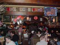
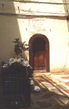
A tiny courtyard on Barrow Street near Bedford Street, Pamela Court leads to the side door of the Greenwich Village institution Chumleys. Chumleys has been here for decades, first as a speakeasy and then as a legitimate drinking establishment.
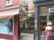
Chumleys has always been unmarked as a reminder of its origins as a speakeasy. Above, Pamela Court as seen from Barrow Street. [2011: The venerable tavern has been closed since 2006 after a wall collapse.]
Kamies Place
The 2001 Hagstrom NYC map shows this short, bricked courtyard on East 7th Street between Avenues B and C in the East Village as Kamies Place.
This is the first time it’s been represented on any NYC map, and it’s next to a new building, so it may be a new street. Can any Forgotten Fans help me out with this one?
Sources…
Greenwich Village And How It Got That Way, Terry Miller, 1990 Crown Publishers
New York’s Nooks And Crannies, David Yeadon, 1979 Scribners
As You Pass By, Kenneth Dunshee, 1952 Hastings House



















2 comments
[…] MacDougal Alley (photo via Forgotten NY) […]
[…] would ever deny the cache that comes with a doorway that opens onto a secret courtyard? The very secret courtyard, in fact, that Village legend Chumley’s, a historic bar where literary greats imbibed, once […]
Comments are closed.