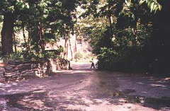
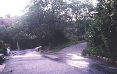
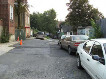
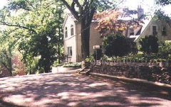
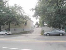
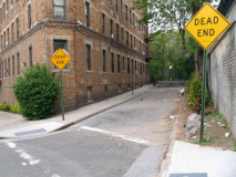
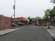
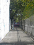
The Bronx is not to be outdone when it comes to obscure alleys and lanes. Some are in leaf-filled enclaves like Riverdale and others are to be found in teeming districts like Fordham. Wherever in the Bronx they are, each has its own story to tell.
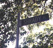
Shrady Place
Doctor George Shrady, editor of the New York Medical Record, took possession of twelve acres of land in what is now Kingsbridge in 1860. Dr. Shrady who later served in the Civil War , was from a long line of career soldiers as his grandfather and father had served in the Revolutionary War and War of 1812 respectively. The family was originally German and bore the name Schreder.
Today, Shrady Place is a quiet, obscure dead end on Kingsbridge Terrace near the Jerome Park Reservoir.
Armand Place
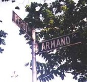
Armand Place, located on equally obscure Perot Street, is named for French Revolutionary War hero Colonel Charles Armand, Marquis de la Rouerie (Lafayette wasn’t the only prominent Frenchman assisting the Americans in the Revolution).
Today Armand Place is only 40 yards long and has only two properties along its length.
Tulfan Terrace
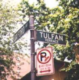
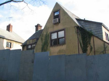
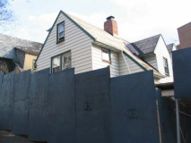
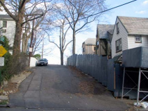
Located on a high hill some 246 feet above sea level, private Tulfan Terrace is named for two real estate contractors of the 1920s, Tully and Fanning.
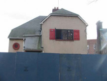
Tulfan Terrace is not officially a public street and has only been shown on maps relatively recently. It was at one time lined on both sides with small cottages. Only the dwellings on the north side remained by 2011.
2004: Tulfan Terrace has been targeted for “development”; and a high rise building began rising in 2010.
Dorothea Place
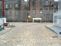
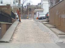
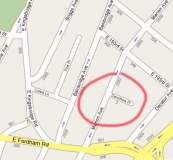
A quiet enclave from the bustling streets of Fordham, Dorothea Place, on Marion Avenue just off Fordham Road, is most likely named for the wife (Elizabeth Dorothea McKesson) of the original landowner, Hugh Camp.
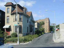
Dorothea Place dates back to 1887 and features a semi-steep hill, along with a bricked pavement that may well be the original.
Poe Place
The only street in the Bronx named for the famed author and poet and former Bronxite Edgar Allan Poe, who lived on nearby Kingsbridge Road in the 1840s. Poe’s cottage was slated for demolition when Kingsbridge Road was widened in 1895, but it was saved and ultimately moved, in 1913, to a new location at the Grand Concourse and Kingsbridge Road, which was named Poe Park.
Poe also lived in what became the Upper West Side in Manhattan on West 84th Street (which was named for him between Central Park west and Riverside Drive), and in a townhouse on West 3rd (then Amity) Street.
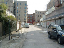
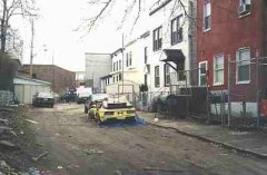
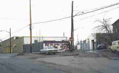
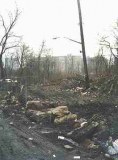
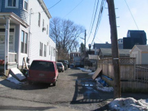
Poe Place in the Bronx (off Coles Lane in Fordham) has seen better days. Garbage strewn and otherwise forlorn, it is unmarked by a street sign.
Garden Place
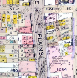
Known only to its dozen or so residents, Garden Place is a tiny dirt road wedged between White Plains Road and Furman Avenue south of E. 240th Street in Wakefield. It is accessible only from a private right of way on White Plains Road. It lacks street signs, paving, regular garbage pickup, and snow removal, all because of that private easement. Decades ago, there may have been a garden here.
Allen Place
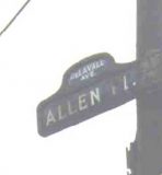
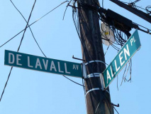
Allen Place’s ancient 20s-era street sign has now disappeared. The blind alley on DeLavall Avenue just off Boston Road near Co-Op City, is named for NYC Mayor Stephen Allen, who served in the 1820s. Many streets in the NE Bronx are named for NYC Mayors.
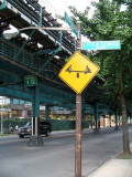
Allen Place was notable for featuring one of the few remaining blue and white humpback street signs, which dominated Manhattan and the Bronx from the 1910s into the 1960s. The sign was finally replaced about 2000.
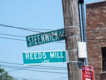
Reeds Mill Lane
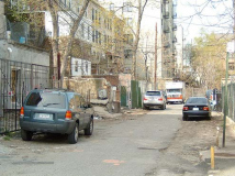
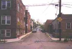
Officially, Reeds Mill Lane exists on NYC maps as a paved road extending in a semicircle from Steenwick Avenue southwest to Tillotson Avenue near Co-Op City. But there are two sections of Reeds Mill Lane that are not mapped. One short stretch angles from Boston Road to Steenwick Avenue (above, toward the right); the other, a dirt road, extends from Steenwick southwest toward the New England Thruway. This is likely part of the original route of the lane. The finished portion was likely rerouted and paved when the Boston-Secor Houses were built in 1967.
A house on the short unmapped stretch of Reeds Mill Lane near Boston Road is numbered #3. So, we may infer that Boston Road is where the road begins, and it presently ends at Tillotson Avenue, it extended into the area that became Co-Op City until that section was buried benrath that development. One of the oldest roads in the Bronx, it was originally the road that led to a Hutchinson River mill owned by a John Reid, which had been built in the late 1600s. The mill was flattened in 1900 by a severe storm.
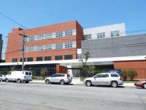
The Rosa Parks Educational Complex, named for the 1950s civil rights heroine, opened in 2007 on Reeds Mill Lane.
Bussing Place
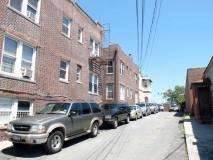
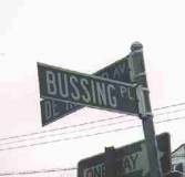
Bussing Place angles northeast from DeReimer Avenue.
Curving Bussing Place, which defies the severe grid street pattern of the Edenwald section of the Bronx, is actually a remainder of an old colonial road known as Kingsbridge Road. It ran from the Bronx into Mount Vernon and eventually merged with Boston Post Road, which extended northeast to Boston. In Mount Vernon, the road is still called Kingsbridge Road.
Lustre Street
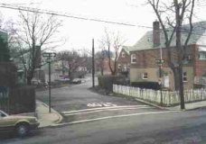
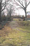
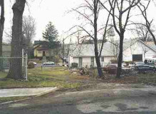
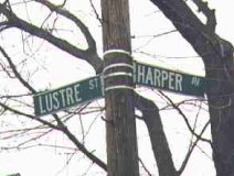
When is a grassy plot a street? When it’s Lustre Street in the growing Eastchester neighborhood. Although many streets that have been on the maps for years are finally getting built in this area, Lustre Street is gradually disappearing! Part of it is now under a new house, while in other parts, Mother Nature has been allowed to reassert herself.
It all started with a Charles Darke, who owned property in this area in the mid-1800s. After Dark Street was cut through, a nearby street was named Light Street. In the 1920s, a section of Dark Street was renamed Lustre Street…and then left alone, apparently!
Barnett Place
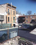
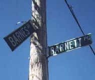
The mapmakers have all forgotten about Barnett Place, which is a dead end on Barnes Avenue just north of Morris Park Avenue. Barnett, a tidy cul de sac, boasts two trim brownstones that face each other. McNamara reports that Barnett Place was named for innkeeper William Barnett, who kept his inn in the 1740s! Apparently an aboriginal lane, Barnett once extended from White Plains Road to Matthews Avenue; only this small piece is left.
Graham Place
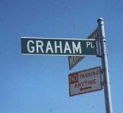
They must have had a lot of extra street names to throw around, because they sure come cheap in this part of town. There’s a thin strip of sidewalk that leads to a house on Morris Park Avenue just east of Matthews Avenue, and it’s called Graham Place.
Pure speculation on my part, but Graham Place may have had something to do with nearby alleys Barnett Place (see above).
Old Kingsbridge Road
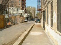
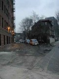
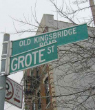
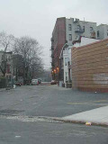
It looks like a garbage-strewn alleyway, and it is, between Southern Boulevard and Grote Street near the Bronx Zoo, but Old Kingsbridge Road has quite the historic pedigree.
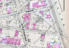
Currently, Kingsbridge Road twists and curves between the Major Deegan Expressway in Kingsbridge Heights and Fordham Road in Fordham, but it used to go further east, past 3rd Avenue, down to East 182nd Street and to the Bronx River Falls at East 180th Street. Its path can be traced in the twists and turns 3rd Avenue, 182nd Street and Grote Street take in the neighborhood.
Old Kingsbridge Road is a remnant of the original Kingsbridge Road, which began as an Indian trail long before the white man arrived.
This is not to be confused with another ancient Kingsbridge Road in Mount Vernon, of which Bussing Place (above) used to be a part.
Bronx Diary: Old Kingsbridge Road by Denise Strait
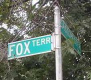
Fox Terrace
Fox Terrace is a short lane on Eastchester Road between Burke Avenue and the cut for the #5 subway in Baychester. It is a real estate development of 13 houses built around 1920.
Cedar Lane
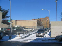
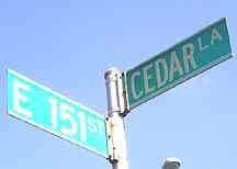
Cedar Lane, between East 150th and East 151st Streets just west of the mighty Grand Concourse, is the only remainder of the large Gerard Morris estate The Cedars, or Cedar Grove. It was once the roadway that went to the estate. The Morris family had extensive holdings in The Bronx from before the Revolutionary War to the 1840s.
Both Gerard Morris’ given and surnames became Bronx avenues. His estate is now Franz Sigel Park, named for the German Civil War general.
By 2004, the wonderful little buildimg bordering Cedar Lane had been razed in favor of a parking lot.
Ruppert Place
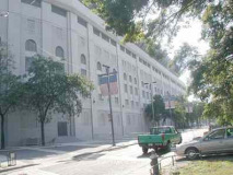
Colonel Jacob Ruppert was a successful brewer and owner of the New York Yankees during the Babe Ruth-Lou Gehrig era. Doughty Street was renamed for him in 1933. Doughty Stret has a lengthy lineage, overlaying Cromwell’s Creek, or Doughty Brook. The Dutch called it Maenappis Kill, and the Indians called it Mentipathe.
The Yankees briefly had an outfielder named Ruppert Jones in the 1980s, but this street has nothing to do with him. The photo shows the now-demolished Old Yankee stadium, which stood from 1923-2010.
Clementine Street
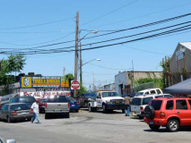
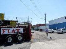
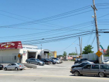
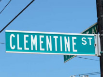
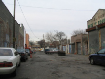
Tucked away amidst auto body and salvage joints on West 233rd Street near Boston Road is Clementine Street, named for a former resident of the early 20th Century, Clementine Broadbeck. An even smaller alley, Regina Place, is supposed to be along its length but we’ll have to wear armor to avoid the junkyard dogs to investigate.
Bonner Place
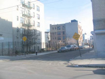
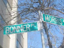
Bonner Place is a dead end on Morris Avenue north of East 163 Street in Morrisania. In the 19th Century, Fleetwood Race Track was near here, and Robert Bonner, founder of the now defunct New York Ledger, owned stables and horses.
Browns Lane
Browns Lane is a dead end on Fordham Street above City Island Avenue in the island community. A Brown’s Hotel once stood at a corner.
Little League Place
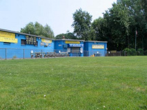
Formerly known as Tan Place, Little League Place runs along a Little League field between Westchester and East Tremont Avenues north of Westchester Square. The old name is thought to recall a teamster named Timothy A. Naughton, or was so named because it meets the two long avenues at a tangent.
Cooper Street
Cooper Street runs west from Westchester Avenue to the IRT subway yard just north of Blondell Avenue. Named for a 19th Century Westchester Square landowner. The Department of Transportation does not mark this street.
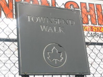
Townsend Walk
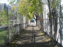
Townsend Walk can be found between Jerome and Townsend walks along the north side of the Cross Bronx Expressway.
Sources:
McNamara’s Old Bronx, John McNamara, Bronx County Historical Society, 1989
History In Asphalt, John McNamara, Bronx County Historical Society, 1978
Special thanks to: Donald Gilligan
6/10/99


