Brooklyn Heights and Cobble Hill are regarded to be the most beautiful neighborhoods in Brooklyn, though each neighborhood has its own partisans. They have dozens of landmarked 19th century brownstone buildings as well as other varieties of architecture along its narrow streets.
They also have their share of blind alleys and short cobblestoned paths, which always make for a more interesting neighborhood.
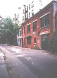
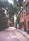
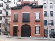
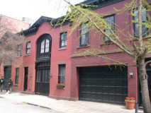
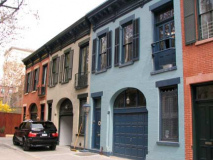
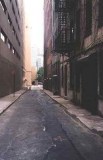
Grace Court Alley
Named for the rather wider Grace Court, which is across Hicks Street. Both lanes are named for Grace Church, a Gothic edifice built in 1847.
Both Grace Court Alley and its Henry Street partner, Hunts Lane (see below) were originally true mews, in that they were little lanes off the main streets where horses were stabled. After the horseless carriage gained popularity in the first years of the 20th Century, the stables were converted to residences. The legacy is these little blind alleys that attract strolling tourists and residents alike.
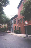
(At left) Looking toward Hicks Street; at right looking toward Henry
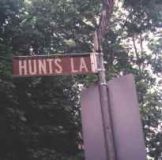
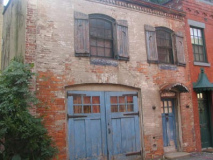
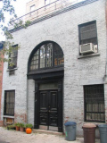
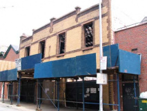
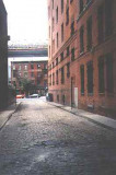
Hunts Lane
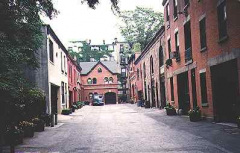
Like its partner, Grace Court Alley, Hunts Lane performed the same function, as a mews that was home to the stables of Remsen and Joralemon Streets, which parallel it to the north and south.
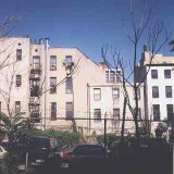
Of the two lanes, Grace Court Alley is in the rather better condition, though Hunts Lane is more idiosyncratic in that it has a slight bend.
A former stable (red brick) in the photo at right awaits renovation.
Montague Terrace and Pierrepont Place
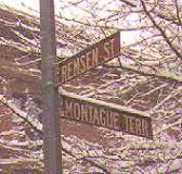
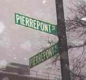
Montague Terrace, and its partner, Pierrepont Place, used to span Montague Street over an iron bridge known as the Penny Bridge. Montague Street itself descended to the East River waterfront on a stone arch. Arch and bridge were demolished in 1946 to make way for the BQE. The Promenade (known as the Esplanade on maps) was constructed in 1953.
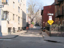
Pierrepont Place, looking toward Pierrepont Street
Once connected by a bridge, Montague Terrace and Pierrepont Place today meet where Montague Street begins. A playground was built on the site of the old Penny Bridge.
Parts of the 1977 shocker The Sentinel, starring Burgess Meredith and Sylvia Miles, were filmed in the building on the southwest corner of Montague Terrace and Remsen Street.
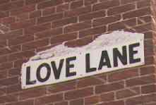
Love Lane
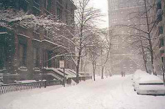
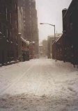
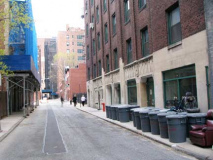
Love Lane is what remains of an ancient Indian trail that led down to the East River. The remaining section runs from Hicks Street to just beyond Henry Street, north of Pierrepont Street. Gerald Wolfe, in New York: a Guide to the Metropolis, calls it “…a favorite path in Colonial times for young swains to promenade with their maidens fair.”
View toward Hicks Street
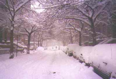
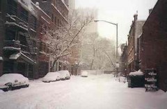
Winter view, toward Henry Street
College Place
A dead end off the more-picturesquely named Love Lane, College Place is dominated by a parking garage but it also has its share of converted stables. It was named for the long-vanished Brooklyn Collegiate Institute for Young Ladies, which was built on Henry Street in 1822. The Institute later became a hotel; College Place stables used to serve it.
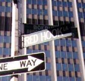
Red Hook Lane
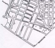
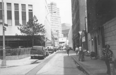
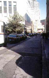
Red Hook Lane is a short alley between Boerum Place and Livingston Street and the Fulton Mall. Maps from the mid-20th Century show it as Pearl Street, but it reverted to its old name by the 1960s.
These days, it’s a one-block street, but it used to go further south. How do I know?
An odd building angle on Atlantic Avenue, west of Boerum, reveals Red Hook Lane’s old path. Most likely the rest of Red Hook Lane’s remnants were erased when Boerum Place was expanded into a full fledged Brooklyn Bridge approach in the 1950s.
Moving south into Cobble Hill, we find, between Henry and Clinton, one of the thinnest streets in Brooklyn that was the home of a literary giant…
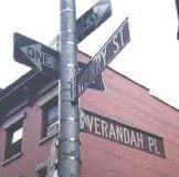
Verandah Place
A verandah is described as an enclosed, roofed porch extending along the side of a dwelling. There are, or no longer are, any verandahs on Verandah Place, but we can say that it is the only street in Brooklyn that ends in “ah.”
Extending along the restored Cobble Hill Park, Verandah Place’s attached houses date back to the mid-1800s.
“Only the dead know Brooklyn” wrote author Thomas Wolfe (of Look Homeward, Angel and Of Time And The River fame. Born in North Carolina, he rented an apartment in Verandah Place in 1931.
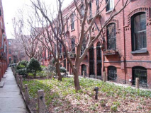
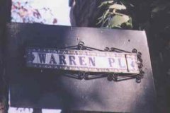
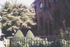
Warren Place
Unquestionably one of Brooklyn’s hidden treasures, Warren Place, between Warren Street and Baltic Street just east of the BQE, dates from an era when new housing was actually built for people not necessarily of well to do status.
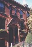
The Warren Place Workingmen’s Cottages were built by Alfred Tredway White in 1878.
After a visit to the slums of London, he returned convinced that “No European city suffers so much and so unnecessarily from the evils of overcrowding as does new York today.” Deciding to help remedy the evil, he engaged the firm of William Field & Son to build the Cottages, to give the workingmen of the city “the chance to live decently, and to bring up their children to be decent men and women.” –Gerald Wolfe, in New York: A Guide to the Metropolis
White also built the adjacent Tower and Home Apartments on Hicks Street. Robert Moses just missed them when ramming the BQE through.
26 of 44 brick cottages face Warren Place, a pedestrian walkway, they are 24 feet high but only 11 feet wide. But that kind of space was voluminous for a family of modest means in 1878. In that year they took only $1100 each to build. The asking price of such a cottage these days is about 200 times that much.
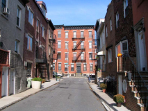
“An atmospheric street that seems more like a stage set for Maxwell Anderson’s Wintersetthan a brick and mortar reality. Lying between Court and Smith Streets, it connects Luquer and Nelson Streets. It is what we more commonly call a mews.” –Willensky and White, AIA Guide To New York City, 1988.
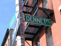
Dennet Place
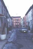
“An atmospheric street that seems more like a stage set for Maxwell Anderson’s Winterset than a brick and mortar reality. Lying between Court and Smith Streets, it connects Luquer and Nelson Streets. It is what we more commonly call a mews.”
–Willensky and White, AIA Guide To New York City, 1988.
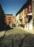
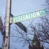
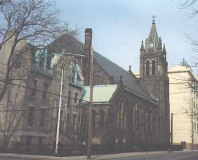
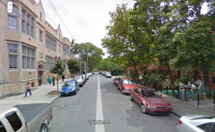
Visitation Place
Pressing on into Red Hook, Visitation Place is named for the massive Visitation Of Our Lady R.C. Church on Richards Street. The parish school is now the Red Hook Community Justice Center.
Backtracking north along the waterfront along Columbia Heights, perhaps pausing to take in the awesome view of the titanic towers of Manhattan along the Promenade, we come to the Fulton Ferry landing, where cobblestoned alleys lie in the spindly shadows of the Brooklyn Bridge.
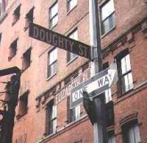
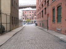
Doughty Street
“Doughty” means brave or fearless and that’s the qualities it might take to walk this street in the hours after sunset.
Elizabeth Place
It’s not hard to imagine a 19th-century drunken sailor careening down cobblestoned Elizabeth Place after a night of drinking on the Brooklyn waterfront.
The Brooklyn Bridge extends above Old Fulton Street at the end of Elizabeth Place.
Crossing under the Brooklyn Bridge, we are in DUMBO (Down Under the Manhattan Bridge Overpass) and, east of that, Vinegar Hill. Both areas used to be replete with ancient alleys, but housing projects and expressway construction have considerably reduced their number. Still, there are a couple of fascinating ones.
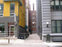
Howard Alley
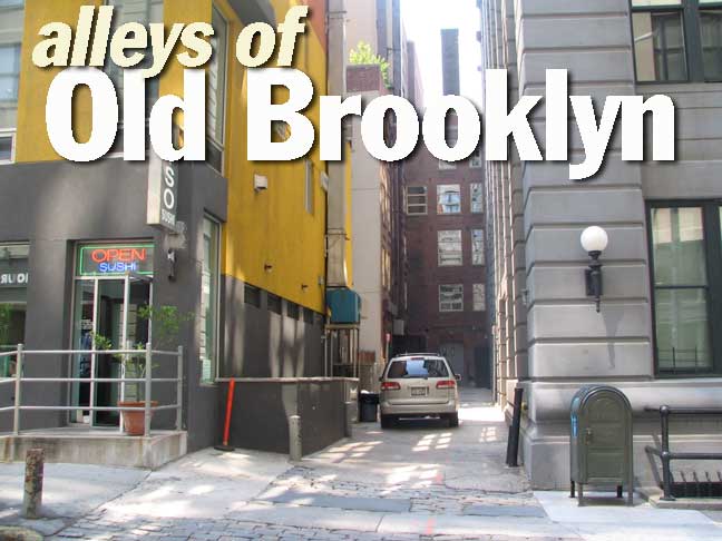
Howard Alley is bordered on the north by The Sweeney Building, one of many lofts and factories cardboard box and corrugated paper king Robert Gair built in DUMBO beginning in the late 1880s; the Gair name can be found all over the stolid concrete and brick buildings in the neighborhood. A new building anchored by Miso Sushi sits on the alley’s south side.
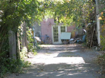
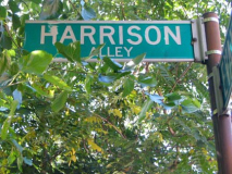
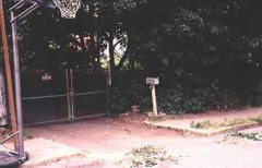
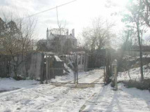
Harrison Alley
A short private alley off Little Street in Vinegar Hill, Harrison Alley is marked by an old-fashioned mailbox in the isolated community of Vinegar Hill. It’s always been barricaded off as a private lane.
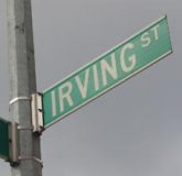
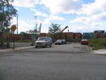
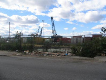
Irving and Sedgwick Streets
Both Irving and Sedgwick Streets are dead ends off Columbia Street in Cobble Hill. They were orphaned when Van Briunt Street, which used to run as far north as Kane Street but was demapped in the 1970s. Sedgwick is now nothing more than a curb cut.
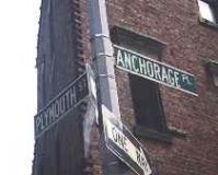
Anchorage Place
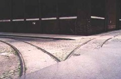
Anchorage Place, like many streets in the area, features no-longer used railroad tracks that connected the businesses that lined them.
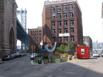
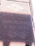
The Brooklyn tower of the Brooklyn Bridge plays havoc with the grid pattern of ‘DUMBO’, causing Adams Street to curve around it and necessitating Anchorage Place, a one-block alley that follows the bridge between Playmouth and Water just off of Adams. The photo shows Anchorage Place on the left. A smoking pipe manufacturer’s ad can still be seen on an adjoining building.
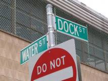
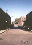
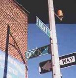
Dock Street
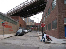
Dock Street, one of the original streets of old Brooklyn Village whose name recalls a time when wharves and docks lined the waterfront here, is literally in the shadow of the Brooklyn Bridge.
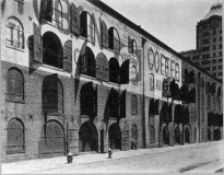
This view of the Empire Stores is from the mid-1930s. Note the Yuban Coffee painted ad. Also notice the two fire hydrants. NYC finally began phasing out the squatter of the two hydrants in the 1980s. From Museum of the City of New York website. Photo by Berenice Abbott.
The building on the right at the end of the street is one of the ancient Empire Stores buildings (“stores” here meaning ‘warehouse’). Some of the buildings are being demolished and Your Webmaster was brusquely reprimanded by a security guard for entering the site. What’s the big secret?
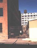
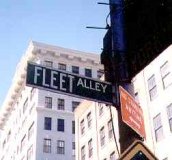
Fleet Alley
Fleet Alley, or ‘Fleets’ as is shown on some old maps, is now little more than a gated driveway on York Street near Washington Street. It’s shown on maps of the 1800s, so it has a rich history. Its name reflects its near-waterfront status.
ForgottenFan Russell Granger: The Fleet name is not maritime or waterfront related but in fact the name of the vicinity landowner Samuel Fleet, who made a large fortune in the War of 1812 selling grain from his Huntington, Long Island farm and later in early Brooklyn real estate.He built a mansion in 1819 on Fulton Street between Duffield and Gold.
Going a bit further afield, let’s take a look at an alley on the Fort Greene-Williamsburg border that indicates an ancient street name.
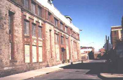
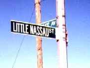
Little Nassau Street
Little Nassau Street runs from Taaffe Place to just east of Kent Avenue between Flushing Avenue and Park Avenue. Nothing much is there, except an ancient stone warehouse.
Since Nassau Street is a full 20 blocks to the west, what is Little Nassau Street doing here?
Flushing Avenue is the eastern extension of Nassau Street east of Navy Street. At one time in the dim past, it must have been named Nassau Street this far east.
Finally, let’s have a look at one Brooklyn alley that has been left to rot and collapse.
Grove Place
Functioning as a depository for the garbage of both Fulton Street and Livingston Street in Brooklyn’s busy downtown shopping district, Grove Place, a dead end on equally obscure Hanover Place, is a candidate for the worst street in Brooklyn, if not the five boroughs.
Grove Place has since been barricaded off, sparing passersby this view.
UPDATE 6/28/13: Apparently the alley will be transformed into a new public space.
Sources:
New York: A Guide to the Metropolis, Gerald Wolfe, 1993 McGraw-Hill





2 comments
[…] alley sandwiched between Fulton and Livingston Streets. Grove Alley was once labeled by Forgotten New York as ‘a candidate for the worst street in Brooklyn.;” Since, the Downtown Brooklyn […]
[…] 11pm. Once deemed “a candidate for the worst street in Brooklyn, if not the five boroughs” by Forgotten New York, Grove Alley is now a hidden gem both gritty and artistic – be sure to check out the […]
Comments are closed.