Having heard that Columbia Street, a lengthy stretch that runs along the Brooklyn waterfront for much of its route, was finally free of construction after three years of rough driving, bus reroutes and general chaos [as of 2008], I decided to take a look.
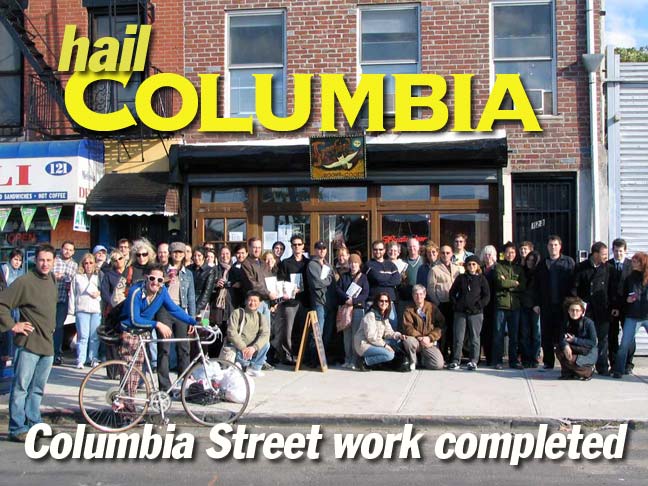
Freebird Books, seen above, at Columbia and Kane Streets, was the site for my very first ForgottenBook reading in October 2006. We had 45 people turn out for a reading and a mini-ForgottenTour and the store sold out its purchase of 35 books. (By contrast, a reading at Book Court on Court Street, where the ForgottenBook was Number 1 on its paperback bestseller list for a couple of weeks, attracted one person!) FNY attracted over 100 for a slideshow at the Mid-Manhattan Library in September 2008, and a ForgottenTour in Prospect Park in October garnered over 60 attendees. I’m thankful for all crowds, from 1 to whatever.
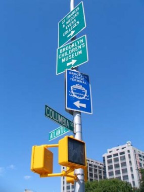
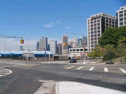
Columbia Street begins its run at Atlantic Avenue just west of the Brooklyn Queens Expressway overpass and Furman Street. The tall building at right is One Brooklyn Bridge Park, a high-rise condo project.
The Pier 6 area at the foot of Atlantic Avenue has been truned into a public park since the page was first written in 2008, as has much of the waterfront from Atlantic Avenue to Old Fulton Street.
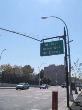
At one time, Columbia Street continued northeast past Atlantic Avenue as Columbia Place. The BQE makes a bend toward the waterfront here (in the 1950s, Brooklyn Heights residents petitioned highway engineer Robert Moses to swerve the road to the industrial waterfront to spare their buildings) and Columbia Place between Atlantic Avenue and State Street was then eliminated. The BQE also took out Emmett Street, which ran between Atlantic Avenue and Amity Street east of Columbia.
Columbia Street acquired a new set of curved davit posts as part of its reconstruction. These have also appeared along Houston Street in Manhattan.
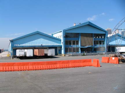
Pier 7, one of the last bastions of industry along the waterfront, is owned by American Stevedoring, a marine container shipping company.
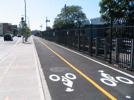
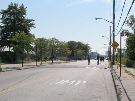
A bike path, part of the Brooklyn Greenway, has been constructed along the Columbia Street sidewalk between Atlantic Avenue and DeGraw street. The organizers of the greenway hope to construct a continuous bike path from Sunset Park to Newtown Creek, a distance of 14 miles.
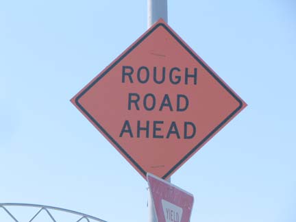
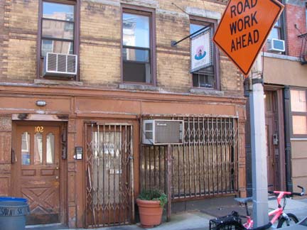
Your webmaster would much rather a barrier be put in place where pedestrian walkways and bike lanes are so close together. There should also be a slow bike lane and one for racers, because in a situation like this, the racers take over and pedestrians and leisurely cyclists had best beware. (The ‘rough road ahead’ sign dates back to the Columbia Street reconstruction era.)
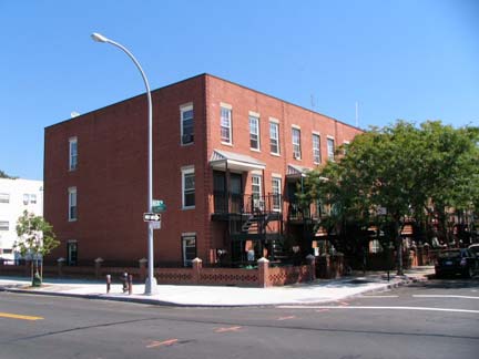
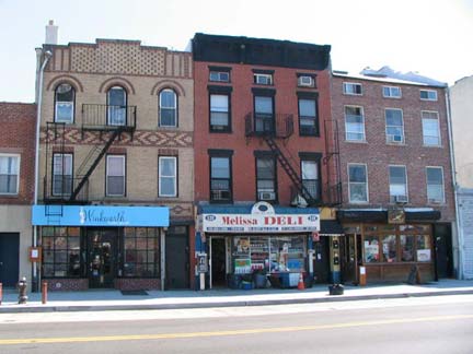
New housing has appeared along Columbia Street in the Warren and Baltic Street area. RIGHT: a mini business district south of Kane, with a women’s clothing shop, a deli and Freebird Books.
Columbia Street, Columbia, South Carolina, Columbia University, the country of Colombia, the District of Columbia, the military hymn “Columbia, the Gem of the Ocean” and many other place names all derive from Christopher Columbus, whose name in Italian, Cristoforo Colombo, can be said to translate to “Christ-bearer Dove” after the Latin has been turned to English. Columbus, it is said, rarely wrote anything in Italian, as he learned to read and write in Portugal.
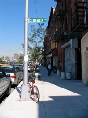
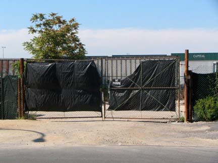
One of Columbia Street’s enduring mysteries is why the Department of Transportation continues to mark Sedgwick Street, which formerly extended to Van Brunt but now is marked only by a gate with a “no dumping” sign. When the city installed new lightposts, the Sedgwick sign was duly put back in place.
The Columbia Street ripup included installing new water mains, sewer lines, sidewalks, plus landscaping. Who knows why it took a full three years to finish. (The unions probably know.)
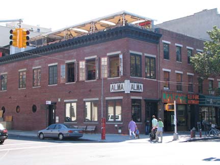
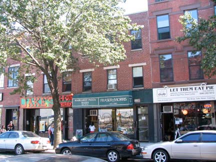
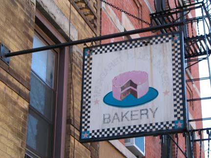
Columbia Street boasts a small Restaurant Row between DeGraw and Sackett, with Mexican restaurant Alma, Jake’s BBQ, Margaret Palca bakery (remember the name) and Let Them Eat Pie (since closed; served Australian-style meat pies).
Art behind bars. Columbia and Sackett Streets.
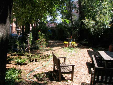
Human Compass Garden, Columbia and Sackett Streets.
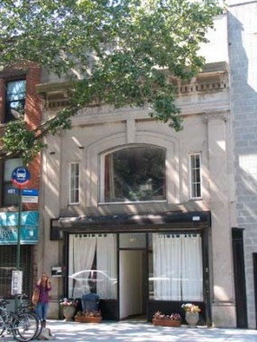
212 Columbia Street, a former funeral home? Looks like it.
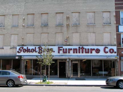
Sokol Brothers, who have been here a long time. Internet searches have it in trouble with the IRS in 1950 and looted during the Blackout of 1977. Sokol Brothers hung tough till November 2011.
On President, just SE of Columbia, I noticed a dilapidated storefront with a banner; the faded lettering reads “Margaret Palca Bakery.” Palca now has retail locations on Columbia and Court Streets, but this may have been the original location.
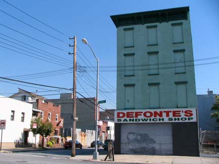
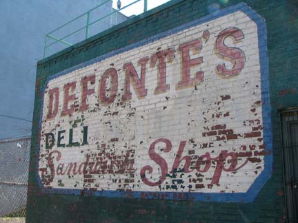
Resuming on Columbia, at the corner of Luquer (some say LU-ker, others, lu-QUEER) you arrive at Defonte’s sandwich shop, which is unfortunately closed on weekends, from the looks of things. Not being able to get a cholesterol helping, you can always walk down Luquer a bit and check out the old painted sign on the sidewall.
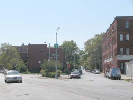
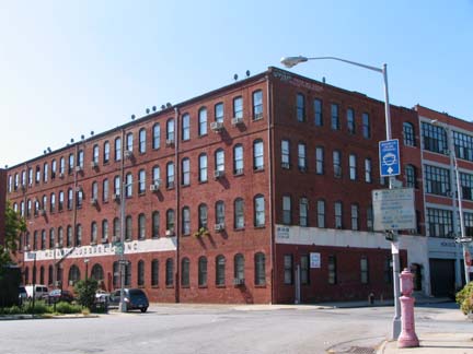
When I see a fork in the road, I always take it. Just like Yogi! Here Dwight Street, which leads to the western end (or “the Back”) of Red Hook, meets Columbia, which remains straight and goes to the eastern portion. Facing the triangle is the grand old Monarch Luggage warehouse (presently artists’ lofts), and I cannot avoid shooting brick buildings like this.
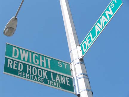
The Red Hook Lane Heritage Trail begins here at Delevan and Dwight. I discuss it on FNY’s Coffey and a Donut page, which was photographed the same day.
Your webmaster was dragged to the top of the Monarch by NY Posties the late Joe Cunningham and Mary Altaffer to get my photo for an article they were doing about FNY in 2000.
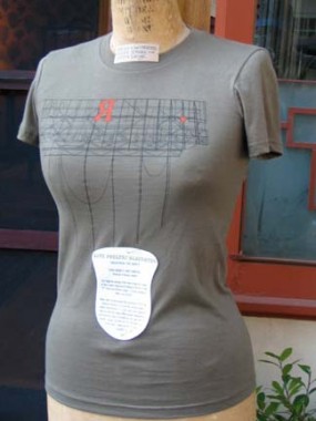
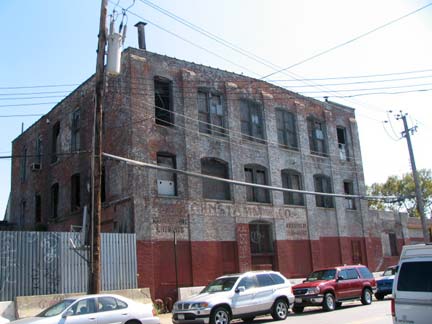
The former E.J. Trum paper goods manufacturer occupied the building at Richards and Delevan Streets until 1978 when it was sold to furniture manufactuer John Turano & Sons, who attempted to pull down the letters, but the period and the R wouldn’t move! Turano sold the building in 2004.
Meanwhile, the Trum sign has started appearing on T shirts sold on Van Brunt Street. But why backwards?
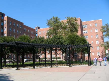
Red Hook Houses and Red Hook Houses II account for much of the population in the neighborhood:
In 1990, the towering Houses, comprised of East and West clusters, were home to 11,000 residents, more than a third of which were under the age of 18. Unemployment was high and by the early 1990s, Red Hook was suffering from very serious problems: the deterioration of its physical fabric, abandoned buildings, illegal dumping of trash, poverty, skyrocketing drug use and violence. Life magazine named it one of the ten worst neighborhoods in the U.S. and called it “the crack capital of America.” In 1992, beloved school principal Patrick Daly was killed in broad daylight at the Houses, caught in a crossfire when he went to look for a student who had left school upset after a fight that day. This well-publicized incident became a pivotal point in the neighborhoodís history, bringing in a high level of police and criminal justice attention. It was at this time that the idea to establish a community court in Red Hook first began circulating, and by 1995, community outreach efforts and a neighborhood Public Safety Corps were firmly in place.
Today, the Houses are home to 8,000 of Red Hook’s 11,000 residents. Crime has dropped dramatically: between 1993 and 2003, homicides were down 100 percent, felony assaults down 68 percent, robberies down 55 percent and rapes down 33 percent, and the neighborhood is continuing to change. PBS
The openings of Fairway Supermarket and IKEA in Red Hook have provided employment for many Red Hook Houses residents.
Ancient warehouse at Columbia and Bay Streets
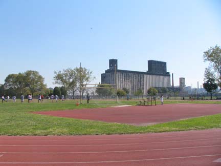
From the ForgottenBook: This massive concrete silo, built in 1922 at Columbia and Halleck Streets was once the processing center for grains used for breweries and distilleries shipped down from upstate and the western USA via the Erie Canal. The terminal closed as shipping in Red Hook gave way to New Jersey containerization beginning in the 1950s. With its 54 joined concrete silos, it has been described as looking like “concrete ladyfingers.” Today, the soccer field in front of the terminal has it as an impressive backdrop; dance companies have used it as a staging area, and urban sports enthusiasts have rappelled on it. It’s best viewed from the field at Columbia and Bay Streets.
Columbia Street continues past the Red Hook athletic fields about a half mile out to Gowanus Bay and the hook-shaped Erie Basin breakwater.
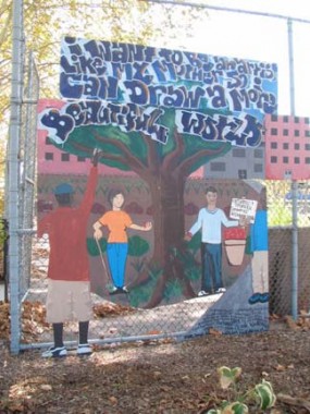
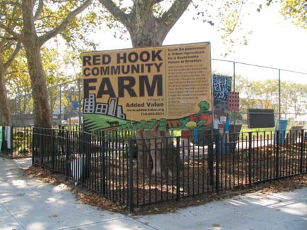
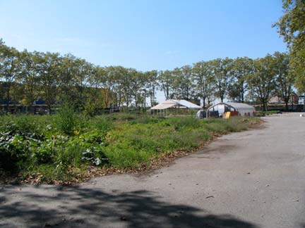
The Red Hook Community Farm at Halleck Street sells homegrown vegetables from its fields here on Saturdays between 9 and 3. Other regional products like dairy, juices and meats are also for sale. It’s a boon to residents of Red Hook Houses who don’t want to travel to the new Fairway which is in “the Back.”
The thriving farm in such an unlikely setting is the brainchild of Michael Hurwitz and Ian Marvy, who are both in their early 30s. In previous jobs with social service organizations in Red Hook, they grew frustrated watching the system let so many talented lives go to waste. They worked with kids who had been in juvenile detention facilities and were now on their own, with no support system and little incentive to improve their lives. To help fill that void, Marvy and Hurwitz in the spring of 2000 co-founded a non-profit group called Added Value, which aims to foster “capacity development.” They decided that starting a sustainable urban agriculture enterprise could not only help provide job training to local young people, it could also benefit the community at large. Seasonal Chef
Photographed September 2008; page completed October 27, 2008

