In October 2008, having finished my survey of St. Paul’s Avenue in Staten Island, I decided to further explore the high hill behind it. A line of very high hills in succession, Fort Hill, Ward’s, Grymes, Emerson, and Todt Hill, form a sort of spine down the center of the island; those who don’t believe New York is a particularly hilly city will have that notion thoroughly dispelled here. In decades past the hills have sheltered seminaries and retreat houses, some now in utter ruin and some very much active; some farmhouses now reduced to skeletons; as well as flourishing breweries and shelters for illicit rumrunners. These days the hills are home to some of Staten Island’s most exclusive residences…
Grymes Hill, the neighborhood proper, can be said to lie between Cebra Avenue, Howard and Highland Avenues, Victory Boulevard and Van Duzer Street, the road that runs along its east side. The hill was named for a Louisianan, Suzette Bosque Grymes, widow of the first governor of the state, William C.C. Claiborne (1775-1817; he was a direct ancestor of the late designer Liz Claiborne). Suzette settled on Staten Island in 1836 after marrying a prominent New Orleans attorney, John R. Grymes.
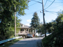
Extending my St. Paul’s Avenue walk into Grymes Hill I went northwest up Occident Avenue. Since ‘occident’ means ‘western’ this may have been the westernmost extension of an original settlement. Staten Island street names are the most mysterious … though there are books out explaining Manhattan, Bronx and Brooklyn street names, I’ve found Staten Island’s largely a mystery; facts seem to seep out there and there from different sources, but there’s no definitive place to go. I am aware that most of Staten Island’s streets (then in existence) were called different names before about 1912, when they were changed wholesale.
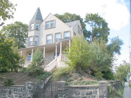
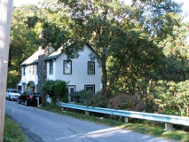
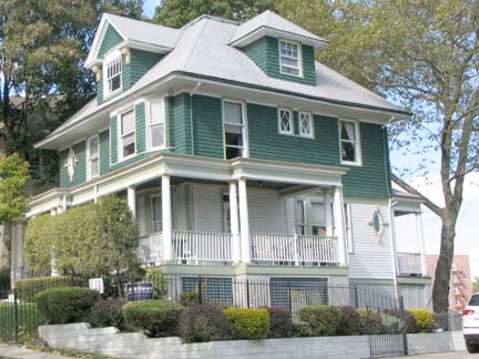
SW corner of St. Paul’s and Occident, 398 St. Paul’s, according to the NYC Landmarks report on Stapleton, Staten Island, says this Queen Anne home was constructed between 1855-1859 for jewelry manufacturer Charles Sudendorf and is a mix of Gothic and Colonial Revival styles. In 1885 the house was sold to winer merchant Frank Pommer, whose name appears on a nearby street sign. RIGHT:
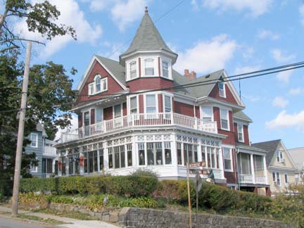
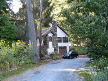
37 Occident Avenue, NW corner of Marion Avenue. I have photographed this house often as it’s one of my favorites in Staten Island; I enjoy indoor wraparound porches. The home was constructed by architect Otto Loeffler for banker William Ludlum and was completed in 1898. The porch was a later addition in 1922.
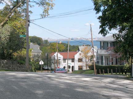
Unfortunately, as we leave Stapleton and enter Grymes Hill, there’s no detailed Landmarks report for the area (that I can locate, anyway; point me in the right direction if there is one) so my descriptions will needs be more sketchy. Here’s Louis Street and Sunrise Terrace (see my link to my route on the Wayfaring link). Sunrise Terrace is named appropriately as we have a clear view to the east. For an even more spectacular look at Manhattan, view from Victory Blvd. and Louis Street, where the skyline appears suspended over the horizon.
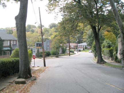
Sunrise Terrace meets Marion Avenue
Nearing Trossach Road (another Staten Island street name I’d like to know the origin; is it pronounced Tross-SATCH or Tros-SACK?) Sunrise Terrace boasts two vintage 1960s luminaires in succession, a Westinghouse non-diffusered and a General Electric M400. These are definitely in danger as the Department of Transportation has been installing the latest model of the GE M400 on all city lamps over the last couple of years, and remaining green mercury lamps have been disappearing quickly.
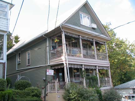
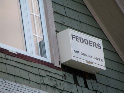
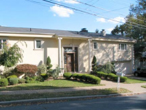
Trossach Road runs from Sunrise Terrace to St. Paul’s Avenue and has a number of cul de sacs in its orbit, inclusing Calvin Place and Pearl Street. This double-porched house at Calvin and Pearl was a Fedders AC pioneer.
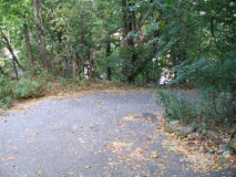
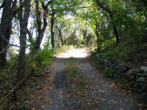
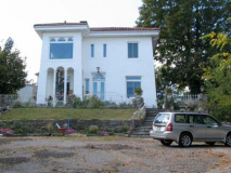
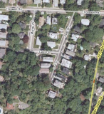
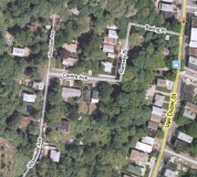
Forgotten NY trips are often voyages of discovery; I followed Pearl Street’s southern extension, which winds around and around a high hill, finally ending at the white house. In the aerial google map, the house shows up as the white dot lower right.
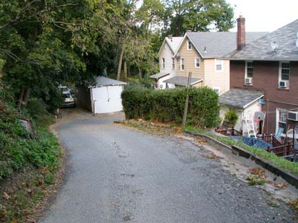
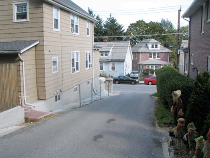
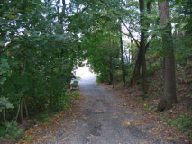
Following Trossach to Van Duzer I set out south along the east side of Grymes Hill. There are a few roads that penetrate into and climb the hill; one of them is Shelterview Drive, above. Continuing south on Van Duzer you pass some ruins that may have been part of the breweries that lined the road at the base of the hill. According to the Staten Island Advance, by the late 1870s, Staten Island’s eight breweries employed more than 360 men and produced more than 160,000 barrels of beer valued at nearly $1.5 million annually. Bechtel’s beers won first place prizes at the 1876 Philadelphia Centennial Exposition and at beer competitions in Paris and Sydney.
Van Duzer also passes the nature preserve called Serpentine Commons. Fear not, there are no poisonous snakes here (though don’t be surprised to see some small garden snakes). Serpentine is a variety of rock found in the region.
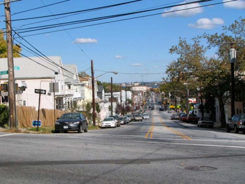
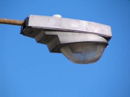
Broad Street extends from Van Duzer Street all the way to Bay Street and we can see Upper New York Bay beyond. I couldn’t help but notice a remaining Unidor 100-175-250. Touted as an easy maintenance lumniare in the early 1970s when they first appeared, these were among the first non-GE or Westy lights to gain wide use on NYC streets. I remember Flatbush Avenue in Brooklyn as one of their main bailiwicks.
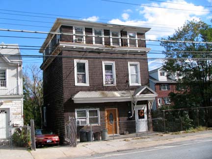
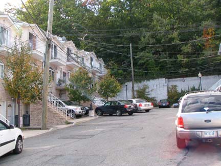
Though this house on Van Duzer south of Broad needs some work, it can be considered a classic of sorts; I doubt Jake Court, right, ever will be.

More from Jake Court.
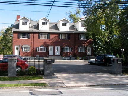
Multifamily housing on Van Duzer done better, though you’d prefer more grass.
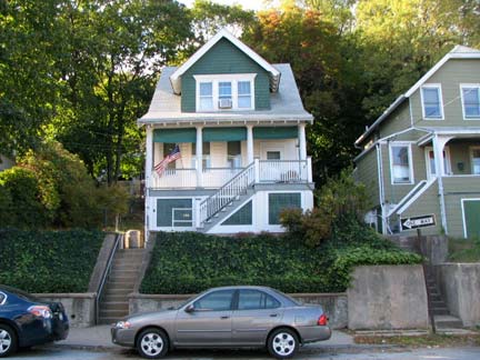
Homes built along the hillside on the west side of Van Duzer opposite Chestnut Street.
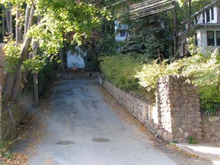
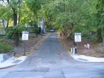
Oakland Terrace entrance.
Oakland Terrace penetrates Grymes Hill in a zigzag fashion, passing several hillside homes. The street is potholed and patch-paved; watch your footing as you climb.
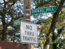
At length Oakland Terrace meets the crest of Grymes Hill and continues as Park Lane, which in its twisting route passes many charming small cottages, which must have a terrific view.
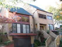
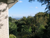
Park Lane, in turn, runs into Signal Hill Road. There are still a couple of lighthouses, or buildings that used to be, located in the Richmindtown and Lighthouse Hill neighborhoods and we must assume that one may have been located here too, hence the name Signal Hill. It seems to have been built on relatively recently as the houses are of contemporary design. Most of the property owners block the spectacular views to discourage prying eyes, but one occasionally pokes out.
If you follow Signal Hill west you will arrive at Howard Avenue, which runs along the west side of Grymes Hill. I didn’t have sufficient time to do lengthy exploring there in limited October light and so decided to backtrack down Oakland Terrace.
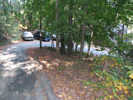
Returning to Van Duzer on Oakland Terrace I noticed it’s one of NYC’s few streets that can be said to have a hairpin turn.
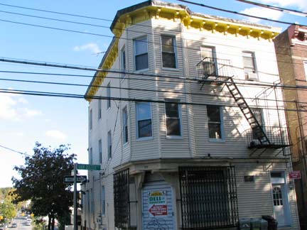
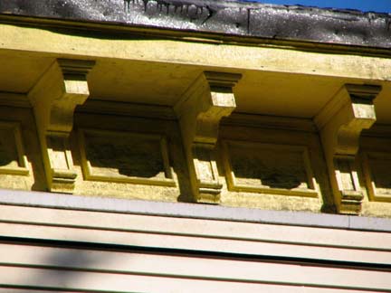
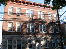
Corner building housing a deli at Van Duzer and Osgood Avenue has been aluminum-sided into near-oblivion, but its cornice and brackets are still in evidence. I like a pale yelllow and white combo.
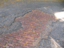
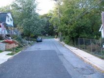
A classic brick multifamily building on Van Duzer faces another portal into Grymes Hill, Baring Place. Walking up Baring you notice some of the asphalt has rubbed away and some red brick paving shows through. Baring Place, Ramsey Place and Centre Avenue form a “Z” on the way to Woodside Avenue, which in turn runs to Signal Hill Road and finally, Howard Avenue.
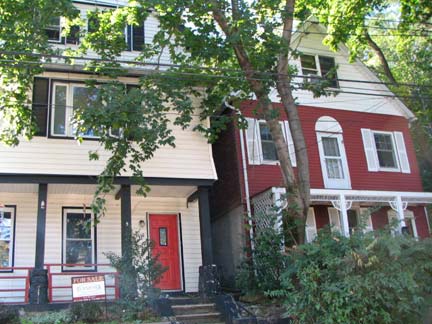
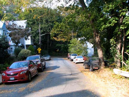
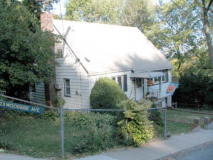
Though Ramsey Place is just a block long it’s replete with charming homes, one of which was for sale in October 2008. I wonder if they got the asking price in a down market. It’s a great area, but a car is a must — quite a hike down to the bus on Van Duzer Street.
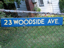
Centre and Woodside Avenues continue up Grymes Hill. I liked the plain blue and white enamel sign identifying 23 Woodside Avenue.
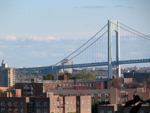
I found the best unobstructed view yet on Woodside Avenue. Here of course in a telephoto view is the Verrazano-Narrows Bridge. Not sure of the projects in the front though; if you look at the map, Stapleton Houses aren’t in this direct line.
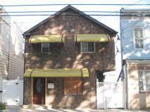
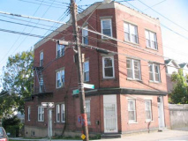
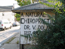
Returning to Van Duzer, we see an example of some cottage siding gone horribly wrong; a handsome brick building (but with cornice and brackets removed) at Roff; and a now-vanished-chiropractor roadside sign in case you were driving by and needed something loosened up.
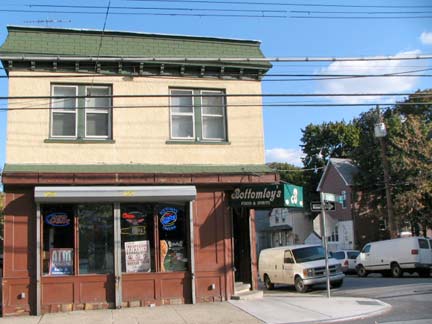

Bottomley’s, at Van Duzer and Metcalfe Streets, has a friendly suggestion that must have been inspired by recent habits of its customers. I wonder if the name was inspired by St. Louis Cardinals great “Sunny” Jim Bottomley, who held the MLB record for most runs batted in one game with 12 (in 1924) for many years on his own for decades before Mark Whiten, also playing for the Cards, matched him in 1993.
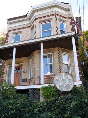
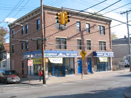
Buildings at Hillside Avenue and Van Duzer. Hillside Avenue is one of the few streets that run from Van Duzer straight over Grymes Hill to Howard Avenue on the other side of the hill.
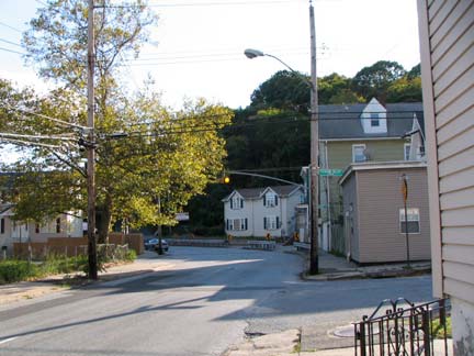
Pleasantview Avenue, a dead end into the hill, gets a Cyclops blinking traffic light to warn motorists about a bend in the road.
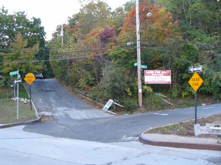
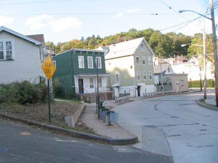
It’s a double dead end as Cunard and Wandel Avenues meet at Van Duzer Street.
A branch of the Cunard British shipping company was prominent on Grymes Hill beginning in the 1840s; as a matter of fact, the mansion of a Cunard scion, Sir Edward, still stands on the campus of nearby Wagner College as Cunard Hall.
As Sir Edward Cunard sat on the front porch of his mansion (Wagner’s Cunard Hall) looking out over the harbor, he must have recognized the perfect symmetry of this area for his family. Cunard literally “watched his ships come in” everyday from his magnificent mansion, which served in the late 19th century as one of the social centers for the Staten Island elite. Wagner College
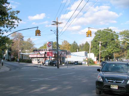
When the Mets visited Pittsburgh, Ralph Kiner was always fond of saying that the Ohio River is formed by the confluence of the Allegheny and Monongahela Rivers. Here in Staten Island, one of its oldest routes, Richmond Road, is formed by the confluence of Van Duzer Street and Vanderbilt Avenue. Richmond Road, which dates to the colonial era, takes over for Van Duzer and skirts the eastern side of Emerson and Todt Hills.
Commodore Cornelius Vanderbilt (1794-1877) was born in Staten Island and began his lengthy career in real estate and railroading by running a ferry across the harbor to Manhattan at age 16 — a precursor of today’s Staten Island ferry.
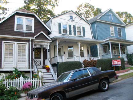
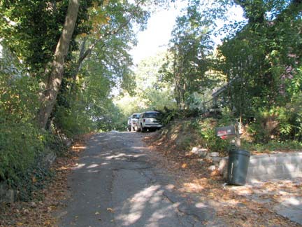
An additional bevy of small streets rush up the hill off Richmond Road, such as Cunard Place and a tributary, the dead end Ridgefield Avenue.
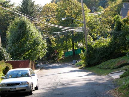
Cedar Terrace twists and turns into Longview Road, which will ultimately run along Wagner college and into Howard Avenue.
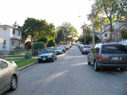
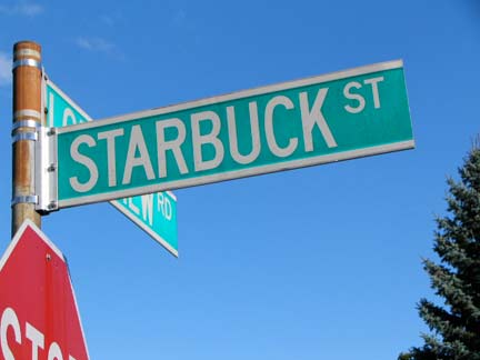
Starbuck Street. Could the name have been inspired by Captain Ahab’s first mate in Herman Melville’s classic “Moby-Dick”? (the coffee conglomerate was, in part). The name has been on maps for decades, so it couldn’t have beenBattlestar Galactica’s Kara Thrace. Not Starbuck, Minnesota. Or Starbuck Island. Not Jo Jo Starbuck.
Maybe it was these guys…
Xylophone and electric piano solo in the same song!
More explorations in the Staten Island hills to follow…
erpietri@earthlink.net
Page completed August 9, 2009
©2009 FNY

