I got off the #1 uptown at 225th Street and wasn’t sure where I was going, which some say has been my problem all these years. I would up loitering around Kingsbridge Heights, Fordham, Bedford Park and Norwood, even briefly entering Woodlawn Cemetery before returning to town via the D train at the end of the line at 205th Street. As Joe Raskin explains in The Routes Not Taken, the IND was originally supposed to keep going east all the way to Baychester under Burke Avenue. We can say with some certainty now that such a handy subway line will now never be built, and if you really want to get around, the best way is to put one foot in front of the other, like me.
GOOGLE MAP: MARBLE HILL TO NORWOOD
When I left off, I was lollygagging up Bainbridge Avenue and has just passed Bedford Park Boulevard and the handsome Bedford Park Presbyterian Church.
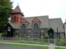
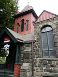
Another block, another beautiful and historic church. The Bedford Park Congregational Church was designed by architect Edgar Bourne and dedicated in 1892. NYC Landmarks: “Clad in rough-dressed fieldstone and wood shingles, the asymmetrically massed building features an eclectic mix of Queen Anne, Shingle Style and Romanesque forms and details. This is one of the few remaining examples of small picturesque churches built in the suburban communities of NYC at the end of the 19th Century. The Bedford Park Congregational Church was the first major social institution in the neighborhood and has remained a vital part of the community.”
The NY Landmarks Conservancy assisted in the restoration of the church in 2013.
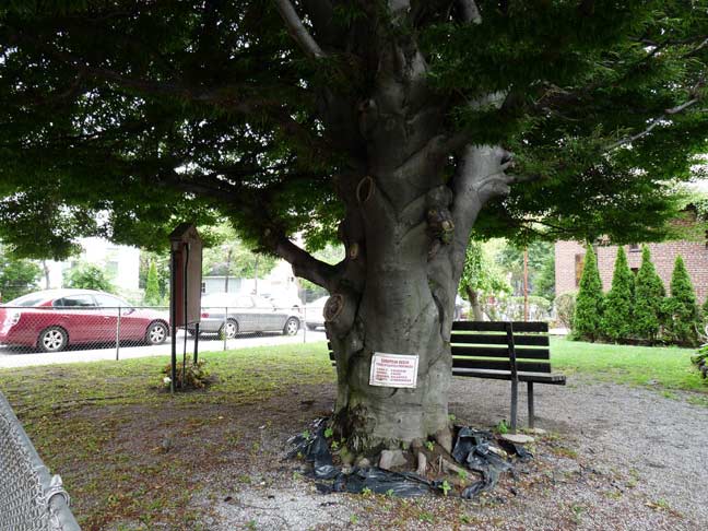
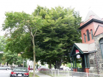
A huge tree in the churchyard is helpfully labeled “European Beech,” though I don’t know if it’s a good idea to nail the sign into the trunk like this.
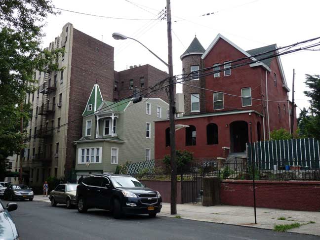
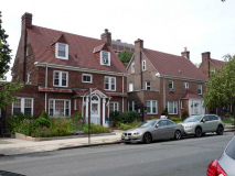
Residing work can’t dim the luster of these picturesque turreted and porched houses on East 201st opposite the church.
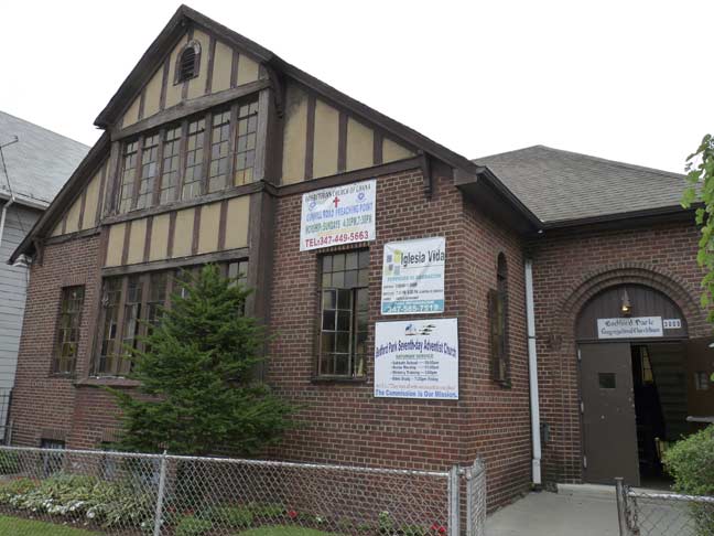
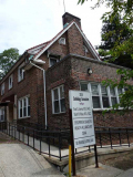
Next door to Bedford Park Congregational on Bainbridge, one of its ancillary buildings, a more modest Tudor, is home to the Bedford Park Seventh-Day Adventists as well as the Presbyterian Church of Ghana.
Bainbridge Avenue next encounters Mosholu Parkway, a key component in the Bronx Greenway Belt, including parkways connecting Van Cortlandt Park, Bronx Park, and Pelham Bay Park. When I was a kid and began perusing NYC street maps, I was absolutely sure that Mosholu was a Japanese name. It was only years later when I discovered that it was, instead, a Native American name meaning “place of small stones” or “smooth stones.” It was the original name of Tibbett’s Brook, a stream in Riverdale now almost completely relocated into the NYC sewer system.
The parkway consists of a main four-lane roadway and two service roads that accept traffic from cross streets. Because the Parkway crosses Jerome Avenue, the avenue that divides East and West streets and avenues in the Bronx, Mosholu is divided into East and West Mosholu Parkway. The service roads are called Mosholu Parkway North and South, and because of this division, we have the awkward monikers West Mosholu Parkway North and West Mosholu Parkway South, and East Mosholu Parkway North and East Mosholu Parkway South.
I investigated the Bronx greenbelt, including the Mosholu and Bronx & Pelham Parkways, on this FNY page.
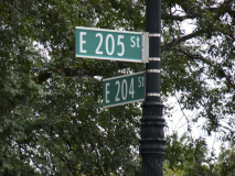
And, directly north of Mosholu is one of New York City’s oddest and most confusing intersections, where four corners are where three different streets meet.
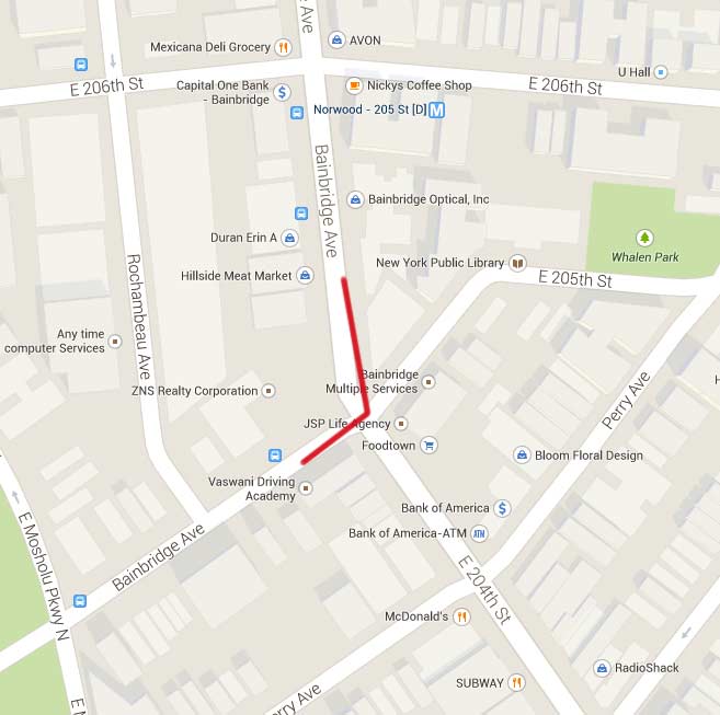
Here, Bainbridge Avenue, arriving from the southwest, encounters both East 204th from the southeast and East 205th from the northeast. Bainbridge Avenue makes an unusual left turn, assuming East 204th Street’s path.
In Norwood, streets closes to Webster Avenue and the NY Botanical Gardens run generally northeast, while streets west of Perry Avenue, including Bainbridge, run on a more general northerly path. This intersection comes where these two street patterns meet. Punctuating the pattern is the presence of Reservoir Oval (see below).
One more thing: Bainbridge Avenue used to end here, decades ago. The section running from here north to Jerome Avenue at Woodlawn Cemetery was originally known as Woodlawn Road — hence the archaic name that turns up on some subway signs on the #4 line.
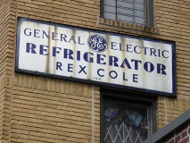
Continuing on Bainbridge Avenue, I found a remaining Rex Cole advert on one of the apartment buildings. King Rex, as I redundantly call him, was originally a lamp manufacturer, then became associated with General Electric in the 1920s and designed white enamel Monitor Top refrigerators. Famed architect Raymond Hood designed a series of buildings in Bay Ridge, Brooklyn, the Grand Concourse, and Northern Blvd. in Flushing for Cole’s showrooms that either looked like refrigerators or featured them in the design! Most are still standing but have been altered beyond recognition. Enamel signs proclaiming Cole’s GE refrigerators can still be found on a handful of buildings around town.
It was on this stretch of Bainbridge that a group of us wound up on July 18th, 1999 at the conclusion of ForgottenTour #2, in which we met at the Grand Concourse and Bedford Park Boulevard with the intention of walking south along its entire length. The temperature was 98 degrees, we encountered the Dominican Day Parade, a group of us tacked off to see the Hall of Fame for Great Americans on the CCNY campus, we were drenched in a thunderstorm, and at the end of the day a few of us took the train back uptown and staggered into an Irish bar on Bainbridge, where we witnessed the last few innings of David Cone’s perfect game at the Stadium (where a few of us tried to get in while we were in the area — I wonder if any did). All in a day with a Forgotten New York tour.
Looking at a Bronx map, Reservoir Oval looks like it was plunked down in the overall street grid as if it has been placed there from above via a helicopter. IT was there first, and the grid simply was constructed around it. Roughly, it sits between Bainbridge Avenue, Perry Avenue, East 207th Street and East Gun Hill Road, but barely toushes any of them; rather, it’s encompassed by roadways called Reservoir Ovals East and West, and is connected to the surrounding grid by short one-block streets.
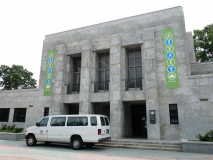
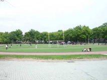
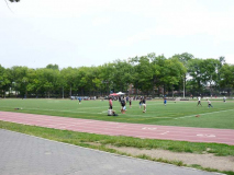
You may think Reservoir Oval has something to do with the Croton water system, but it is only in a tangential fashion. The Bronx and Byram Rivers water system was built between 1880 and 1889 to supply those sections of the Bronx not served by the Old Croton Aqueduct via pipeline from the Bronx River, which bisects the borough in two from north to south, and the upstate Kensico Reservoir. Water was stored in the Williamsbridge Receiving Reservoir, built in 1888. By 1925, this reservoir was no longer needed, and it was drained and filled in. In 1937 NYC Parks Commissioner Robert Moses constructed a new playground and park in the space vacated by the reservoir, containing a running track, football and baseball fields, basketball and tennis courts, a horseshoe pit, a large wading pool, a cinder running track, a field house, and two children’s playgrounds.
Thus, while some parts of town are park-starved, Norwoodians can take their pick of Van Cortlandt Park, Reservoir Oval, Mosholu Parkway and even the NY Botanical Gardens in Bronx Park.
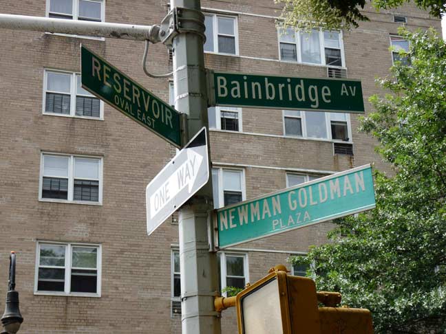
Plenty of signs but nowhere to go? Bainbridge Avenue at Reservoir Oval East is called Newman Goldman Plaza by Department of Transportation signmakers. Actually, in a circumstance that will surprise no one, the street sign is spelled incorrectly. The plaza was named Neumann-Goldman Plaza in 1959 and honors two area World War II paratroopers who lost their lives in the conflict, Corporal Jerome Neumann and Lieutenant George Goldman.
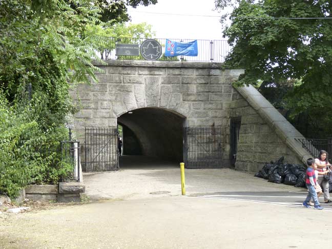
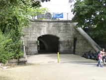
Entranceway to Reservoir Oval, with a large keystone and large voussoirs.
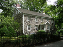
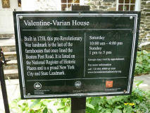
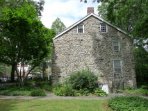
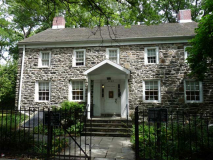
Though Brooklyn seems to have the lion’s share of pre-Revolutionary War houses, there is one here on 3266 Bainbridge Avenue that qualifies, just barely. In 1758 blacksmith Isaac Valentine purchased property from the Dutch Reformed Church at today’s Bainbridge Avenue and Van Cortlandt Avenue East, and, depending on what account you read, built this fieldstone cottage either in the 1750s or as a successor to a previous home in 1775.
Like the Old Stone House in Brooklyn’s Park Slope, the Valentine cottage was the scene of a Revolutionary war battle, though nothing so major as what happened in Brooklyn. By 1777 the home was occupied by British and Hessians but was recaptured by General William Heath after a brief but fierce battle which left he house surprisingly intact.
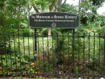
By 1791 the house and land had been sold to an Isaac Varian, whose grandson, Isaac L. Varian, became NYC mayor between 1839 and 1841. After changing hands several times the house became home to the Bronx County Historical Society in 1965. The house was moved across the street from its original location the next year. It is open to the public, featuring historic and archeological exhibitions. Call (718) 881-8900 for details. Bronx County historian Lloyd Ultan is the author of many historical tomes about the mainland borough.
Interestingly, Van Cortlandt Avenue East, near where the cottage stands, was the original post road to Boston, which ran from Spuyten Duyvil east and northeast.
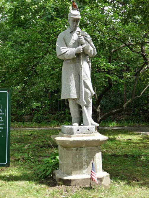
Outside the Museum stands the Bronx River Soldier sculpture, executed by sculptor John Grignola in the late 1890s. It was originally supposed to go in Woodlawn Cemetery (see below) but was never installed there. Instead, it was purchased by the owner of a tapestry factory and displayed on a granite pier perilously close to the Bronx River, into which it unavoidably fell. It was rescued from the river in 1964 and installed here in 1970.
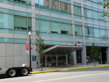
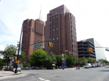
North of the museum, Bainbridge Avenue is lined on both sides with handsome townhouses used for doctors’ residents and offices serving nearby Montefiore Medical Center, which fills most of the block defined by Bainbridge, East 210th, East Gun Hill Road and DeKalb Avenue.
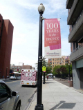
You can sometimes the measure of importance a landmark has to its community if its gets special lamppost designs outside its buildings, as in Montefiore.
The Montefiore Home for Chronic Invalids was founded in 1884 by Jewish philanthropists who wanted to do something for chronically ill people whom other hospitals of the day would not help. Montefiore quickly expanded and began an age of delivery system innovation, medical education and scientific research that it continues today as a premier academic medical center.
It was in 1890 that Montefiore was among the first to test tuberculin for the diagnosis of tuberculosis. In 1901, asthma patients at Montefiore were treated with adrenalin chloride—one of the earliest clinical uses of adrenalin.
Groundbreaking milestones continued with the development of the cardiotachometer in the 1920s, an innovative instrument to measure the heart’s beat. The device is now on display in the Smithsonian Museum. Montefiore would also build the foundations of its commitment to innovative health care when, in 1905, it established one of the nation’s first hospital-baseddepartments of social work to meet the psychosocial and home-care needs of patients and their families. In 1912, Montefiore expanded its services and built a new hospital in the Bronx. Thus began a new era for Montefiore as it began partnering with the borough to create a world-class healthcare model accessible to anyone in need. Continuing to blaze trails, the first woman joined Montefiore’s house staff in 1916. — montefiore.org
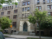
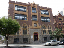
I’m unsure what the present use of the former Dominican Sisters of the Sick and Poor Church is these days, at #170 East 210th at Bainbridge. It appears to be an apartment building, but it wouldn’t surprise me if Montefiore used it in some manner.
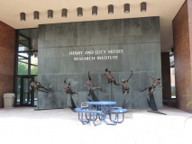
The Henry and Lucy Moses Research Institute, an imposing building on the SE corner of Bainbridge and East Gun Hill Road, is a 1965 classic by “starchitect” Philip Johnson, built in the shape of a Greek cross. It is part of the Montefiore Medical Center complex and was originally the tallest; it has since been overshadowed. It is named for a longtime hospital president who teamed with his wife in philanthropic work; Lucy Moses lived to age 103.
It is just one of a number of buildings on the Montefiore campus; the oldest goes back to 1913.
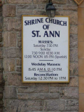
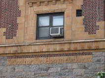
The Shrine Church of St. Ann is a Roman Catholic church established in 1927 on Bainbridge just north of E. Gun Hill Road. It was dedicated as a shrine to the mother of Mary and the grandmother of Jesus (as opposed to a parish church).
It is a red brick multistory Collegiate Gothic structure with Decorated Gothic and Tudor Gothic design elements with terracotta trim over a raised fieldstone basement and entrance breakfront. The church is located at the building’s piano nobile, above the raised basement and accessed by both a perron through an ornate Tudor-arched entrance and a second flight within the building. The school is located on the floors above the church. –wikipedia
My own parish church, St. Anselm in Bay Ridge, was built similarly in 1922, with grade school classrooms in the floors above the church on the ground floor. A main church was built next door in 1953, but the sanctuary in the old school building was still employed frequently for Masses during my time, and I imagine it still is.
The northern end of the #4 subway line, Woodlawn station, which runs down Lexington Avenue in Manhattan and Eastern Parkway in Brooklyn. Important stations along the route are clad in concrete, and this qualifies as one. The station opened April 15, 1918. Operations offices are likely located, or were, in the stone-clad terminal.
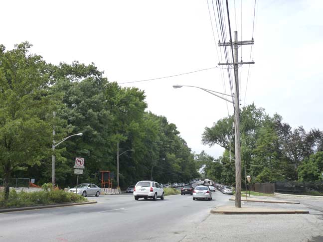
Here Bainbridge Avenue ends at Jerome Avenue, which, going north, enjoys a lengthy stretch in the sun for the first time since the elevated entered it from River Avenue at 169th Street. Here, the avenue, named for financier Leonard Jerome, the grandfather of Winston Churchill, runs between Van Cortlandt Park and Woodlawn Cemetery until it gives way to the Major Deegan Expressway at East 233rd Street.
Woodlawn
Woodlawn is the community surrounding Woodlawn Cemetery, which is probably third on the pecking order of New York City cemeteries (after Trinity and Green-wood) if you measure their worth by the celebrities interred therein. The cemetery’s star power is staggering. Here you will find Herman Melville, who died in humble circumstances unaware of the resonance his fiction would acquire after his death; railroad tycoon and hotelier Austin Corbin, responsible in large part for the importance of the Long Island Rail Road in the lives of NYC commuters; and investigative reporter Nellie Bly (Elizabeth Cochrane), who blew open the doors to abuses in mental hospitals and prisons. Joseph Pulitzer, publisher of the New York World and a founding father of crusading journalism; Ruth Snyder, whose execution in the electric chair for murder was secretly photographed and appeared on the cover of the New York Daily News under the headline “Dead!”; Frank Woolworth, whose stores dominated the five and dime business for decades; Robert Moses, whose ambitious programs over five decades redrew the map of New York City; Miles Davis, the great jazz trumpeter; Fiorello LaGuardia, the charismatic mayor who saw NYC through the Depression and World War II, are all permanent residents of Woodlawn.
Woodlawn happily welcomes visitors. Call (718) 920-0500 or visit www.thewoodlawncemetery.org for hours or information.
I have shot extensively in Woodlawn, but that was years ago and I saved those photos at a very small size; they wouldn’t look good here at all. My intention is to return and do a thorough review of the place. Today, I slouched through the front gate and wasn’t wrestled to the ground when I started waving a camera, so here’s what I saw.
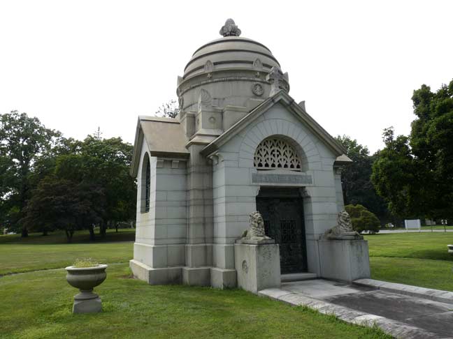
Woodlawn is famed for the huge mausolea clustered around its Jerome Avenue entrance, such as this one for John F. Martin, stockbroker.
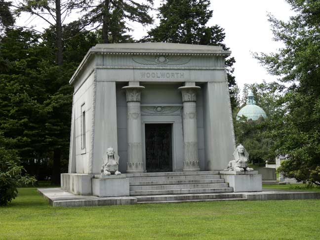
Five and dime store mogul Frank. W. Woolworth’s family tomb has an Egyptian motif with two reclining Sphinxes (if that’s the plural form) guarding the door. The tomb was designed by John Russell Pope, the architect of Washington DC’s Jefferson Memorial.
Frank’s granddaughter, Barbara, was the last interment here in 1979.
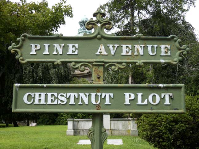
Much like Green-Wood Cemetery in Brooklyn, Woodlawn has a set of wrought-iron pathway signs, many of them originals from the cemetery’s beginnings in the mid-1800s.
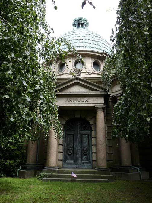
Herman Armour (1837-1901) was the co-founder of the Armour Meatpaking Co. with his brother Philip in 1867, which still bears the Armour name. Armour introduced canned meat, brought the assembly line practice to the meatpacking industry and pioneered the use of refrigerated railcars in shipping; for a time, Armour was the world’s largest meat processor and chemical manufacturer. On the negative side Armour thwarted unions from organizing within the company in the late 1800s, and its resale of tainted meat was exposed by Upton Sinclair in the novel The Jungle.
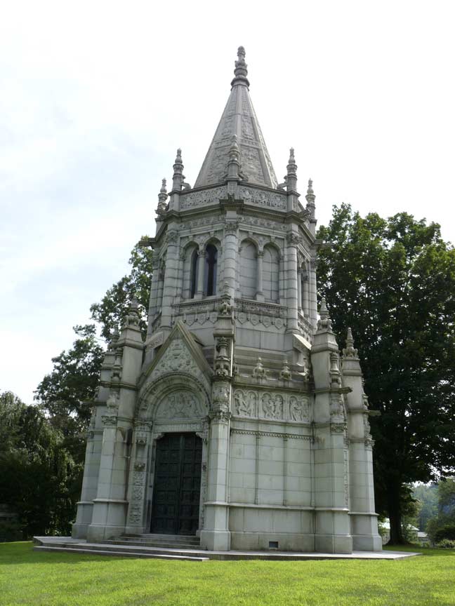
[Warehousing heir] John H. Harbeck lived in style and he went out in style. His elaborate Renaissance Revival mausoleum was designed in 1918 by Theodore Blake, a primary architect with the firm of Carrere and Hastings. It’s set in a prominent oval lot that forms an island in Parkview Avenue and is the most magnificent mausoleum in Woodlawn. The octagonal structure has richly decorative detailing on a vertical mass constructed in three sections. The broad lower section features double bronze doors that are replicas of the north doors of the Baptistery in Florence, Italy, which were crafted by Lorenzo Ghiberti in the early fifteenth century. The center section has arched windows. It connects the base with a steeply sloped broached tower. Two levels of pinnacles with crockets punctuate each of the vertices of the octagon at the base and center sections. Elaborate allegorical and floral carving is found in the arch of the door and pediment and along horizontal bands that form friezes at the three sections of the structure. Carved buttresses connect the lower pinnacles to the center section of the mausoleum. mausoleums.com
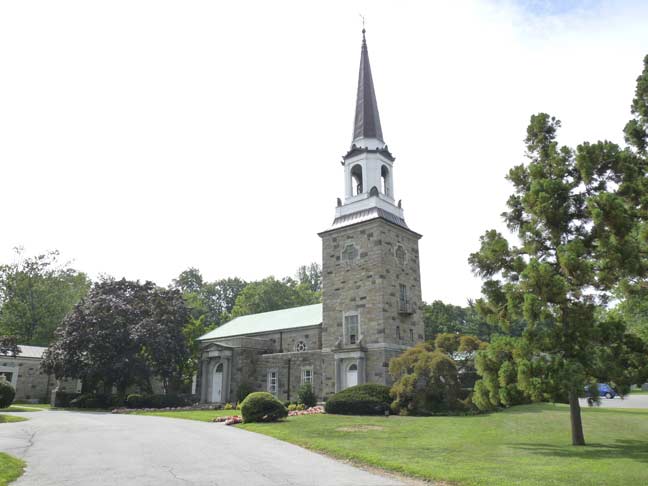
The Woolworth Memorial Chapel was built in 1935, a gift from Woolworth family scions Fred and Velma Woolworth. Built of stone, the chapel includes a bell tower. The interior features terrazzo marble floors, and can accommodate 100 persons.
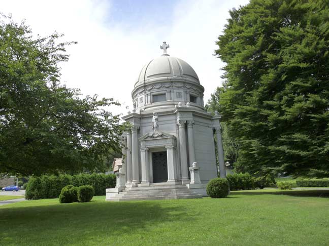
Here’s an unusual mausoleum — it wasn’t constructed for the person who eventually wound up in it.
This spectacular Renaissance Revival domed structure, was designed, in 1927, by architect Franklin Naylor. Built at a cost of more than $260,000, it boasts an authentic Tiffany stained glass window in a religious theme. Naylor considered this one of his most intricate works, as well as the largest private mausoleum in America. For these reasons, he published a pamphlet about the mausoleum’s construction. Originally built for Dominico Dumbra — the proprietor of a winery during prohibition — the building was sold to hotel magnate, Julius Manger, in 1935.
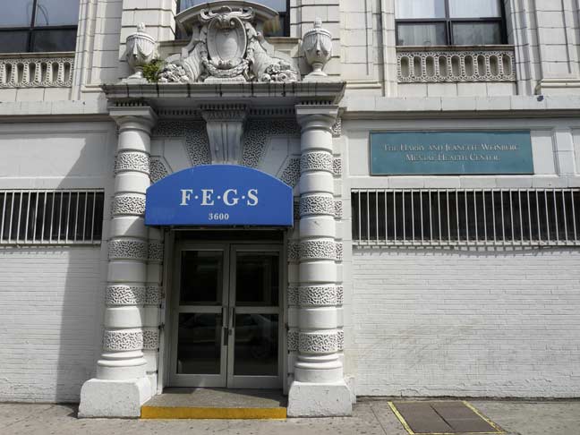
I liked the vermiculation, or decorative stonework, a form of rustication where the stone is cut with a pattern of wandering lines that resemble worms (vermiculation is derived from Latin for worm) on 3600 Jerome, presently the Weinberg Mental Health Center.
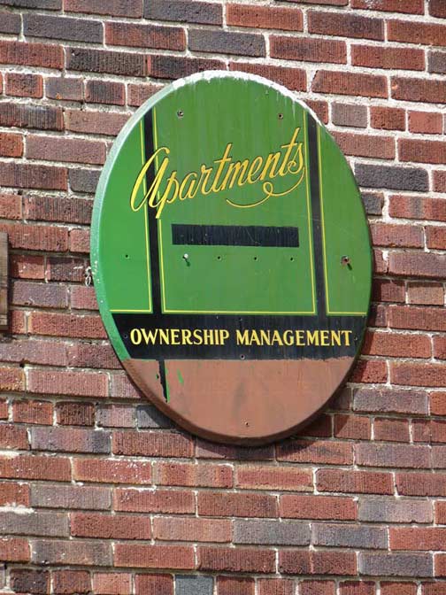
Another handsome and brightly colored apartment house sign, this one on DeKalb Avenue near East 213th Street.
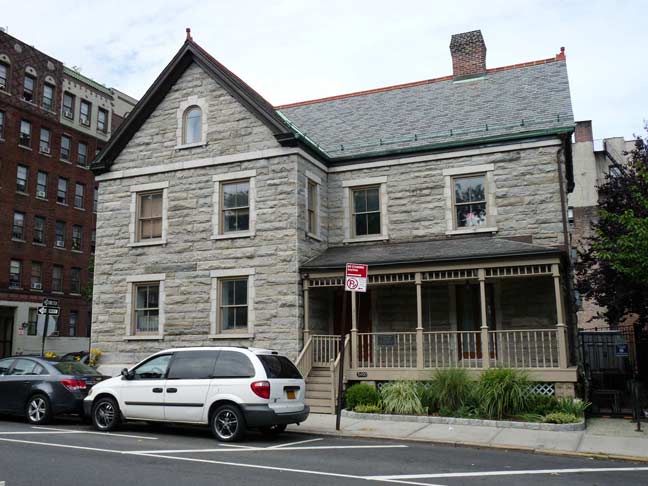
I followed Gun Hill Road to Tryon Avenue, which leads again to Reservoir Oval and the reservoir keeper’s house on Rservoir Oval East and Putnam Place. Constructed in 1889, it became a private residence for five decades after the reservoir was drained, and is now under the protection of the Mosholu Preservationist Corporation.
Reservoir Ovals East and West curve around what is now Reservoir Oval Park, and without sidewalks, they resemble suburban roadways.
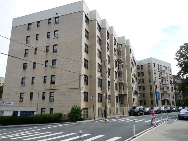
At Holt Place, Reservoir Oval East regains a sidewalk and runs past a stepped apartment complex that looks Concourse-worthy. I took the one-block Holt Place to Perry Avenue and found…
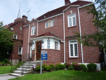
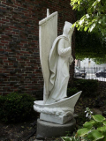
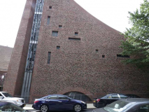
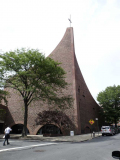
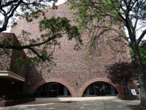
The wildly imaginative Catholic church St. Brendan’s, on Perry Avenue between East 206th and East 207th. The parish was organized in 1908 and gained this church building, built in the form of a ship, in 1967.
According to legend, St. Brendan, who lived in the sixth century, was a sailor and navigator and journeyed to what he called “the island of the blessed” or St. Brendan’s Island, considered by some to be the Faeroe Islands, Iceland, or even further west to Newfoundland, making him the first European to visit North America, centuries before the Norse made it.
At this remove, anything can only be speculation.
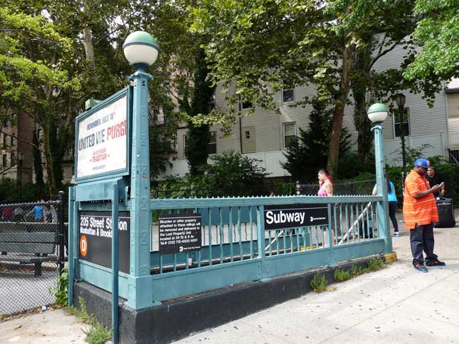
Time to kick it in the head and catch the IND at the north end of the D train on Perry Avenue and East 205th. Originally, the line was supposed to make it past Bronx Park and into Baychester, but depressions and wars scotched those plans.
10/12/14



7 comments
Pretty neat trick for Tibbett’s Brook to go from Van Cortlandt Park to the Harlem River under Tibbett Av in Kingsbridge, through Riverdale– unless you want to call that quite small area between W 242 St and W 240 St “Riverdale”. As it sounds, you have Tibbett’s Brook flowing uphill and to the west of its actual course. I spent a good part of my childhood in Kingsbridge and people usually confuse it with Kingsbridge Hts, or think it’s somehow the “downmarket” part of Riverdale, rather than the historic village it was going back to colonial days, later annexed into the city in the 1890’s and quickly urbanized thereafter when what is now the #1 train reached there.
http://www.nycgovparks.org/parks/VanCortlandtPark/highlights/8183
That is a great pic of the intersection of Bainbridge Ave, 204th and 205th Streets.
Bainbridge Ave North of Mosholu Pkwy was originally Woodlawn Ave which followed the route from City Line to the current intersection and then went East out what is now 204th St. Bainbridge Ave was cut through Mosholu Pkwy from the South early in 20c.
There was a terrible train wreck where the Woodlawn Road (204th St) bridge spanned the NY Central tracks into Bronx Park. I have included the Newspaper accounts of the wreck;
The Chicago Sunday Tribune, Feb 17, 1907
Express Wreck Within New York; At Least 22 Dead
The four passenger cars were piled in a single pile of tangled wreckage with almost every crevice filled with a human body.
Dead and injured passengers spilled from the cars were strewn all the way from Two Hundred and First street, on under the Woodlawn road bridge at Two Hundred and Fourth street, and then to Two Hundred and Seventh street, where the train finally came to a stop. For a distance of over 1,000 feet the tracks were strewn with parts of the bodies of the dead. Many of the bodies picked up along the highway of death were so badly ground up and so completely divested of clothing that it is likely to be a long time before they are identified.
The Woodlawn Crash, 1907
On February 15, 1907, the New York Central Railroad Company initiated electrified rail service from Grand Central to the Westchester suburb of White Plains. The New York papers reported commuters’ delight with the new train, although a few complained that it was too fast.
The following evening, the Brewster Local left Grand Central on that same track. At Woodlawn, in the Bronx, as the train rounded a curve, it flew off the tracks — due to a design flaw in the new electric engines. In an instant 20 people were killed and 150 injured. The wreckage stretched for over a mile.
The New York Times, Feb 17, 1907
Central Wreck; Eighteen Dead
Dashing northward through the Bronx at a speed, some say of sixty miles, others a hundred, but officials aver only of thirty-five or forty miles an hour, the White Plains and Brewsters Express, one of the first new electric trains over the New York and Harlem Division of the New York Central Railroad, was wrecked in fearful fashion near 205th Street at 6:40 o’clock last night.
It was in many respects the worst wreck the Central has had in years. At midnight it was estimated that eighteen persons were dead, including many women, and more than 70 injured, many of them seriously.
The train consisted of five passenger cars with two of the new electric motor cars ahead of them. Near 205th Street four of the five passenger cars, beginning with the last, toppled over on their sides, left the tracks, and with the shrieking passengers in them, were dragged over the ties for a distance of nearly 200 yards before the train was brought to a standstill.
(End of wreck text)
Maybe your researchers can turn up a photo of the wreck.
You forgot to mention that there was a 204th St station of the 3rd Ave El on Webster Ave.
Another interesting pace is the Parkside Place overlook at the end of 207th St. There is a great view of Bronx Park and you could look down on the 3rd Ave El on Webster.
I have been following your site since it began,
All the best,
Charles A. Warren
Does anybody else remember when the Yonkers TARS # 4 (McLean Ave,) Trolley came down Jerome Avenue to the IRT # 4 (Woodlawn Line) Terminal? In those days, the Bx34 (Bainbridge Ave.) bus, which stops just next to the IRT Terminal, was also called the # 4. There was a veritable jamboree of 4’s at the intersection of Bainbridge and Jerome, until the Trolley died in 1952.
Thanks to John W. Thomas’s great Collection, here’s a photo of a a # 4Trolley departing the IRT Terminal northbound on Jerome. Woodlawn Cemetery is to the viewer’s right; a stretch of Van Cortlandt Park, to the left.
http://www.newdavesrailpix.com/tars/htm/tarst047.htm
The Trolley is wearing TARS’ 1945-52 Red and Beige livery. All the Belgian blockson old Jerome Ave. once stretched all the way to Yonkers.
The old Dominican Convent at 210 th and Bainbridge has been a NYS-run group home for teen-age boys for at least the last 20 years — the neighborhood was up in arms when it first opened, but its been so well run that most folks couldn’t tell you what happens in the building.
Also the Reservoir Keeper’s House was renovated by the Mosholu Preservation Corporation -who also published the Norwood News. Mosholu Preservation is the Neighborhood Development Corp of Montefiore Hosp
In the late 1940s, I sometimes walked from my high school, down near Fordham via Bainbridge or Webster or another route, to our home in Woodlawn Heights. Not infrequently, above Gun Hill I would wander into East 211th Street — a weirdly crooked numbered street — in order to hop Woodlawn Cemetery’s southernmost fence, a very modest black iron affair, and meander among the graves up to East 233rd Street, where the Cemetery bordered on Woodlawn Heights.
What I recollect most vividly is the occasion I found the resting place of Admiral David Farragut, the Tennessee orphan who rose to command the Union’s West Gulf Squadron, to liberate the Confederacy’s biggest city (New Orleans) and the Lower Mississippi Valley, to damn the torpedoes at Mobile Bay, and to achieve the Northern Navy’s highest rank. I was stunned to encounter him in Woodlawn. It was awesome!
On 2 November 2014, the Archdiocese of New York announced the closure of St. Ann’s Shrine. Its parishioners are supposed to move to St. Brendan’s, effective next August.
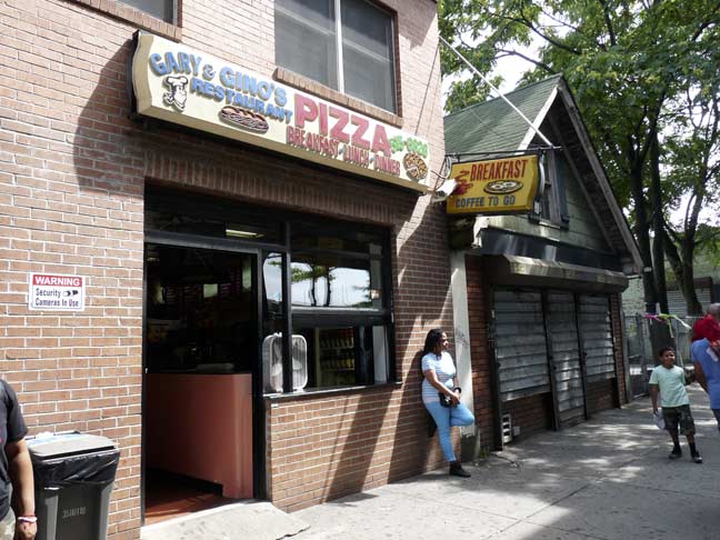
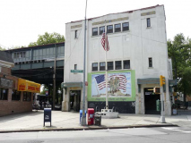
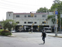
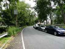
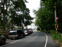
Kevin, great walk. Just thought I’d alert you to what seems to be misplaced photos. Second to last you mention St Brendans, but it seems the photos don’t correspond to what you’re talking about. This is as of April 13, 2015, maybe it was correct before.