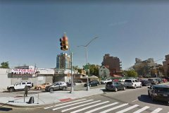
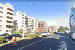
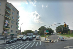
Guider Avenue is one of the shortest wide streets in Brooklyn, enjoying 4 lanes with a center median. It runs from East 12th Street at Neptune Avenue west and northwest to Coney Island Avenue, where its traffic is funneled into Shore (Belt) Parkway. It probably gained its lanes — along with the ones on an even shorter street, Cass Place — when the Belt Parkway was constructed from 1938-1940.
When I first encountered the existence of Guider Avenue on maps and in person on car rides as a kid, my first thought was that Guider Avenue was so named because it guides traffic onto the Belt Parkway. But nothing can be further from the truth; it appears on maps as early as 1929, a decade before the Parkway was built.
If you look at photos of Guider Avenue residences in 1940 tax photos, they all seem to be one-story bungalows. Today, 80 years later, Guider Avenue is lined with high-rise dwellings, some of them newer glassy ones.
What, or who, was Guider Avenue named for? The answer can be found in a park in Prospect Heights at Eastern Parkway and Washington Avenue, miles away from Guider Avenue. The park was previously named for Brooklyn Borough President Joseph Guider, who served from January 1, 1925 to September 22, 1926, at his death. When previous beep Edward Riegelmann resigned to take a judgeship, Guider was elected to finish his term and then was reelected for a four year term in 1925; but then died before he could finish the term. He was replaced by James J. Byrne.
These three Brooklyn beeps have prominent landmarks named for them: The Coney Island Boardwalk was built during Riegelmann’s term and is named for him; and both a Park Slope park and Newtown Creek bridge are named for James J. Byrne. In 1986, Guider Park in Prospect Heights was renamed for Dr. Ronald McNair, who perished on board the space shuttle Challenger that year. Thus, Guider Avenue remains his only legacy.
From Comments:
BP Joseph A. Guider, who died in office in 1926, was an advocate of better traffic circulation in and around Coney Island.
Guider Avenue was designed as part of a circumferential system of at-grade streets and was a rerouting and replacement of Canal Avenue between West First Street and the intersection of Neptune and Homecrest Avenues. Eastbound traffic was to continue onto Neptune and Emmons Avenues. This original route can be seen as a proposed street on the 1929 E. Belcher Hyde atlas. The section of Guider Avenue west of East Seventh Street was later eliminated by the construction of the Shore (Belt) Parkway, which superseded the at-grade circulation plan advocated by Guider.
It was named in Guider’s memory after his death.
Check out the ForgottenBook, take a look at the gift shop, and as always, “comment…as you see fit.”
6/23/20


3 comments
Guider Avenue follows the course of Coney Island Creek.
BP Joseph A. Guider, who died in office in 1926, was an advocate of better traffic circulation in and around Coney Island.
Guider Avenue was designed as part of a circumferential system of at-grade streets and was a rerouting and replacement of Canal Avenue between West First Street and the intersection of Neptune and Homecrest Avenues. Eastbound traffic was to continue onto Neptune and Emmons Avenues. This original route can be seen as a proposed street on the 1929 E. Belcher Hyde atlas. The section of Guider Avenue west of East Seventh Street was later eliminated by the construction of the Shore (Belt) Parkway, which superseded the at-grade circulation plan advocated by Guider.
It was named in Guider’s memory after his death.
That little section, between Coney Island Ave to the west and E12th Street to the east, and the Belt Pkwy to the north and Neptune Ave to the south, was a really odd little backwater when I was growing up in the area during the 70’s and early 80’s. The west side of E12th St, and Neptune Ave were built up, but beyond that there was still a pocket of little bungalows and tiny roads. ISTR that some of those tiny roads were still unpaved at the time.