
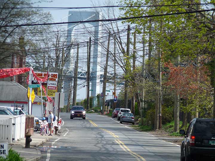

PENNYFIELD Avenue, the road to Fort Schuyler in Throg(g)s Neck (the DOT has one “g,” residents have two “g”‘s) runs from the Cross Bronx Expressway south to the fort, which as the seat of State University of New York Maritime, welcomes visitors to its Maritime Industry Museum. The north tower of the Throgs Neck Bridge can be seen further ahead, and provides an interesting photography subject especially in colder months. It’s on a tip of a short peninsula and is bordered by the private Silver Beach neighborhood, which I last entered in 2007. I am more reluctant than in previous years to argue with local constabularies wishing to eject outsiders. I would like to return to Fort Schuyler, though, and unless/until I gain regular work I’ll have more time for it. I walked around in 2005; Sergey did his survey in 2015.
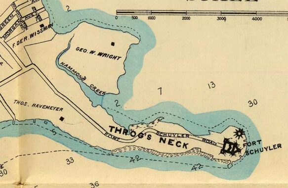
Pennyfield Avenue has been called Throgs Neck Road and Fort Schuyler Road, but its present name comes from the colonial era. Surprisingly it is not named for an early landowner named Pennyfield. Local Native Americans sold the territory for one English penny, desiring the metal. George Washington and accompanying horsemen were surprised by a British warship in the East River on this road during the Revolution and had to gallop for cover. It has been a local route since the early colonial era and is mentioned in records in 1686 and 1723.
Pennyfield Avenue is intersected by a myriad of short dead ends. If you look at maps from the mid-20th Century, a number of those streets extend across a short nameless inlet of Long Island Sound that developers hoped to landfill. It never was, though, and today pleasure craft dot its shores.
I just remembered another reason I’m not here much. This photo was taken April 20, 2024 at the tail end of a Tremont Avenue march, and I remembered I had to wait a good hour for a bus to get me back to a subway.
Check out the ForgottenBook, take a look at the gift shop. As always, “comment…as you see fit.” I earn a small payment when you click on any ad on the site.
5/26/26