
Other than the BMT 4th Avenue Broadway Line (N, R, Q and now W trains) perhaps the majority of my subway rides for six decades have been on the Flushing Line, the #7 train, one of the few subways’ general east-west routes. I rode 4th Ave/Broadway when living in Bay Ridge (1957-1993) and the 7 when living in Flushing and then Little Neck since. Most of the 7 train (stops between Queensboro Plaza and 103rd/Corona Plaza) celebrates its centennial on Friday, April 21st, 2017, weeks after the Hell Gate Bridge, which transports freights, Amtrak and Metro-North trains between Queens, Manhattan and the Bronx, celebrated its first 100 years.
From its beginnings in June 1915 running one stop from Grand Central to Vernon/Jackson what has become known since then as the Flushing Line has been extended eight times: east to Hunters Point Avenue and Court Square (11/5/1916); Queensboro Plaza to 103rd Street (4/21/1917); 111th Street (10/13/1925); Willets Point Boulevard (5/7/1927); Main Street (1/2/1928) and west to 5th Avenue (3/22/1926); Times Square (3/14/1927) and Hudson Yards (9/13/2015). (A tiled sign at the Hunters Point Avenue station says the line goes “to Astoria and Corona,” referring to the split at Queensboro Plaza that sends the BMT to Ditmars and the IRT to 103rd/Corona Plaza.)
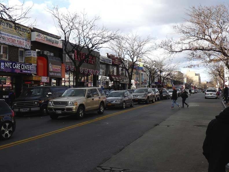
In November 2016, I walked the full length of Roosevelt Avenue under the Flushing Line to Main Street. I’ve also amassed several photos of the stations along Queens Boulevard over the years, and thus I can create a multipart FNY series on the #7 train, and what’s under it.
As always, current and vintage photos of the Flushing Line are available at NYC Subways.
We’re up to …
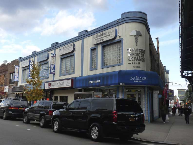
74th Street
When it opened on 4/21/1917, 74th Street wasn’t an especially important stop, and it didn’t rate an express stop on the Corona El. However, in the years since, the city built its own Independent Subway line and opened Broadway on top of it to boot; previously, Broadway ran in two separate sections in Astoria and downtown Elmhurst. The Queens IND opened in two major sections: from the separate Queens Plaza and Court Square (Ely/23rd) stations out to Roosevelt Avenue on 8/19/33 and from Roosevelt out to Union Turnpike on 12/31/36. Further stations to 169th, 179th and Parsons/Archer opened in 1937, 1950 and 1988. And, the IND also had plans to expand into Maspeth, Glendale and southern Queens — some of which would have been on the first proper IND elevated — from the Roosevelt Avenue station, but WWII assumed all the construction work in the 1940s, and NYC’s cash-strapped transit agencies have never mounted an attempt since, and it’s unlikely Maspethers and Glenwoodians would go for an elevated train now. Had the IND Second System been adopted, NYC transit maps would be highly different from what they are now. However, for the present, subway riders must content themselves with the free transfer offered between the Astoria El and the IND subway via escalators that frequently need repair.
The blogger known as Vanshnookenraggen has created a “future NYC subway map” that incorporates the Second System as well as other plans that have been on the books and may come to pass if current plans (such as the full length Second Avenue Subway) ever happen. It’s a trip!
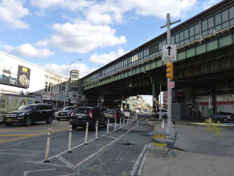
The 74th Street station has become a major transit interchange, with the M32 from Midtown Manhattan, the Q 33 and Q49 to East Elmhurst, the Q70 circling LaGuardia Airport, Q47 to LaGuardia’s Marine Air Terminal, and Q53 offering express bus service to the Rockaway peninsula all transferring to the #7 train here, many of them using the Victor A. Moore Bus Terminal adjoining the subway/el entrance, which opened in 2005.
Even if repairs on the Flushing El require the local tracks to be closed, express trains will as a rule make an exception for the 74th Street station and switch tracks to the local.
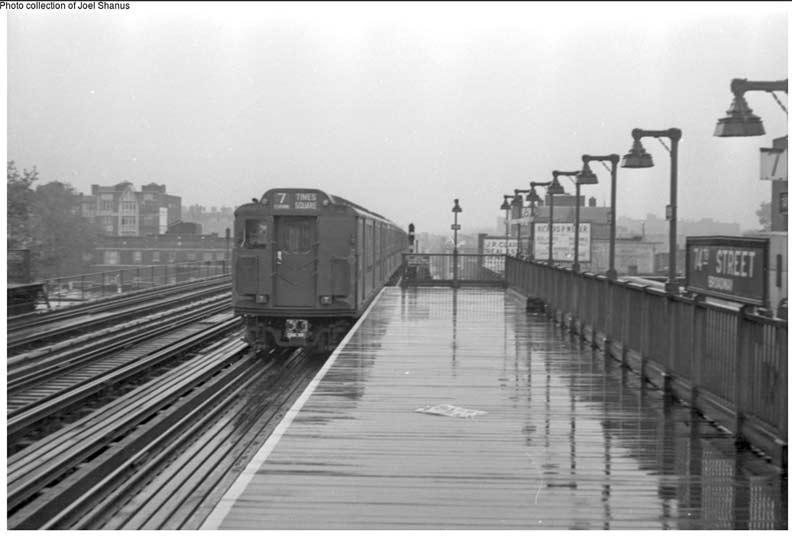
It’s a rainy day in 1948 on the east end of the 74th Street platform. Like me today, you have just missed the train and so, you waited in the rain for the next train…whenever it arrives. Till then, you admired the original wood plank pavements and original station lighting. The stanchions are still in place in 2017, holding bright yellow sodium lamps. The blue and white enamel signs are long gone.
As mentioned earlier, when the IND was constructed in the early 1930s, Broadway was also constructed above it. Here Broadway runs southeast to meet Roosevelt Avenue under the el. I’ve done a FNY series on Queens’ Broadway as well as the Bronx Broadway. Manhattan’s Broadway, the first and foremost, is 14 miles long and would be a tough walk for me in one day (though I did do Brooklyn and Queens Metropolitan Avenue, approx. 11-12 miles long, in one dash!)


The Archer Stores (there seems to be only one these days, though there may have once been more) is a hardware outfit at Broadway and Roosevelt that hasn’t changed its sidewalk signs since the Lyndon Baines Johnson administration, or even before that. Why should they? These signs get the job done.


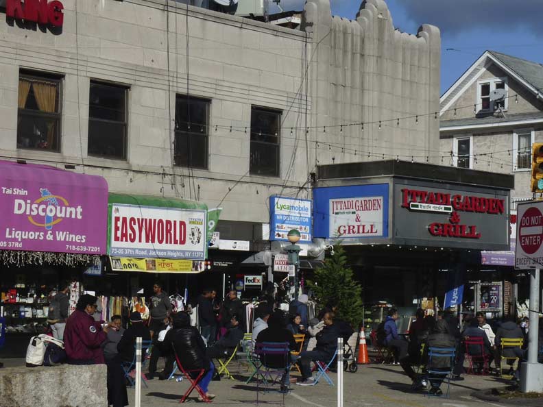
Who’s sari now? [Sorry…really.] As mentioned earlier, The Flushing Line is the International Express, and at 74th Street, it’s India‘s turn in the spotlight as immigrants from the Subcontinent reside in a tight community on 74th and 75th Streets between Roosevelt and 35th Avenues. The one-block stretch of 74th Street is chockablock with India-themed clothing stores, jewelry shops, food markets and restaurants such as the Jackson Diner (named for Jackson Heights, the neighborhood of which 74th is on the western border, and ultimately turnpike builder John Jackson, whose road is now called Northern Boulevard). To be honest, I’ve never been in the Jackson Diner–rather, my crowd favored the Taj Mahal a couple of doors down, which left a few years ago.
On 37th Road between 73rd and 74th Streets is the former Earle Theater, constructed in the 1930s in an Art Deco style. It was once a first-run features theater, but it fell on hard times and became a hardcore porno palace. It was revived as a Bollywood-style venue, changing its name to the Eagle Theatre, but ultimately succumbed and became a food court.
Hardcore fans still have the Fair Theatre on Astoria Boulevard and 90th Street, which still shows some porno for the raincoat crowd.
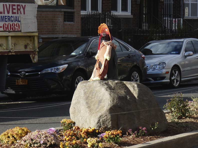
Two-way 75th Street has a center median between 37th Avenue and 37th Road and again between Broadway and Woodside Avenue. Back in 2001, NYC’s playful Parks Commissioner under Rudolph Giuliani, Henry Stern, placed ceramic penguins at 37th Road and another at Woodside Avenue as a tribute, he explained, to Argentinian immigrants in the area (I once had dinner at a disappeared Argentinian steakhouse on 37th Avenue). A local resident dresses up the 37th Road penguin in outfits appropriate for the calendar, like the pilgrim in November 2016. Sadly, the Woodside Avenue penguin has been stolen or waddled away.
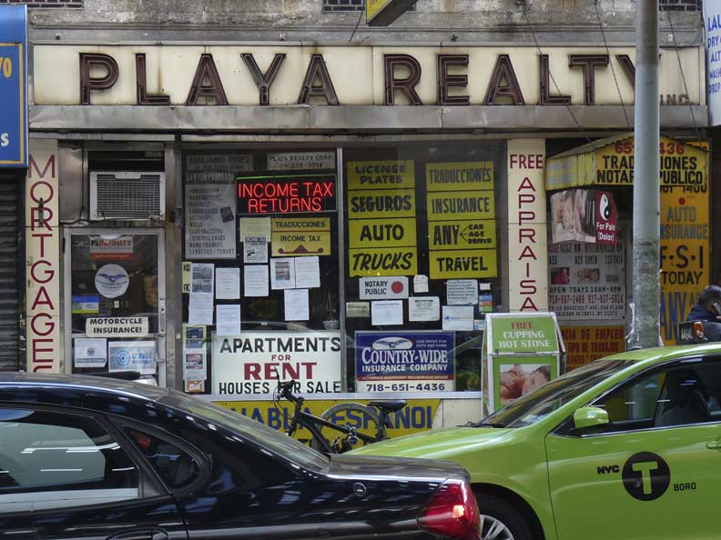
Meanwhile, back on Roosevelt between 75th and 76th, here are a trio of ancient signs for Playa Realty — one in neon, two in ceramic. Classic! Probably not later than the 50s. And, just look at that plethora of signage, a hallmark of this stretch.
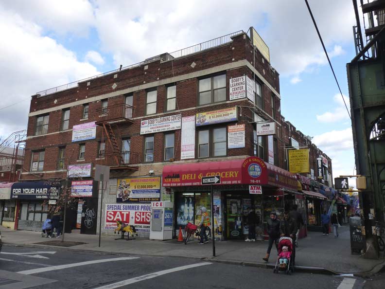
Roosevelt Avenue and 76th Street
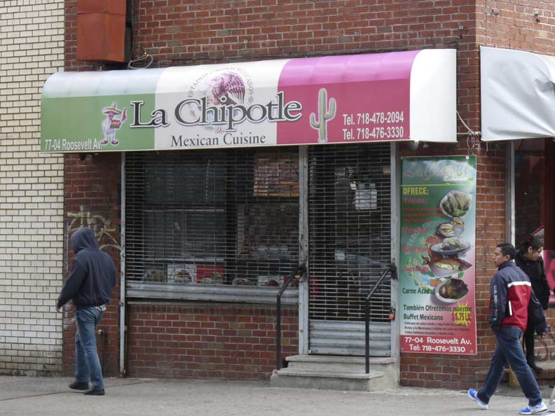
“Chipotle” comes from the Nahuatl (Aztec) word for “dried chili fruits.” I doubt this place at 77-04 Roosevelt was the first in the huge Chipotle chain of restaurants, but if it is, set me straight in Comments. Back in the 1970s I was amazed to run across the original Sbarro’s, which closed in 2002, at 17th Avenue and 65th Street in Bensonhurst.


Some interesting street art bedecks a tattoo parlor, Village Moon, at Roosevelt and 78th.
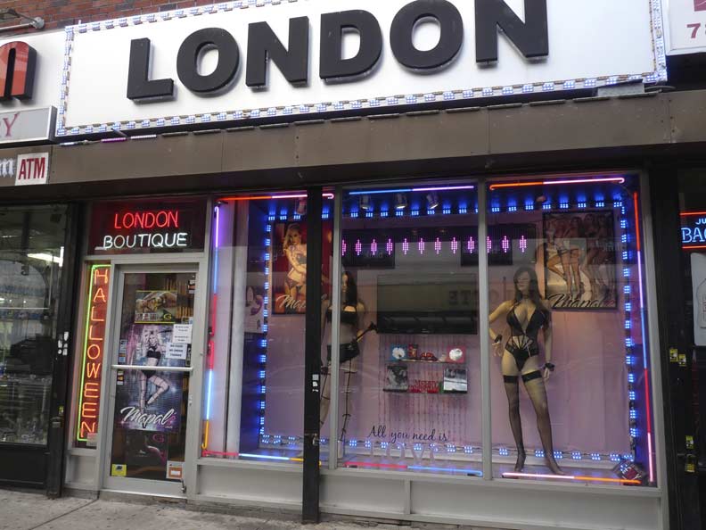
You can find everything you need on Roosevelt Avenue. Here’s a little something to wear around the house at London Boutique.
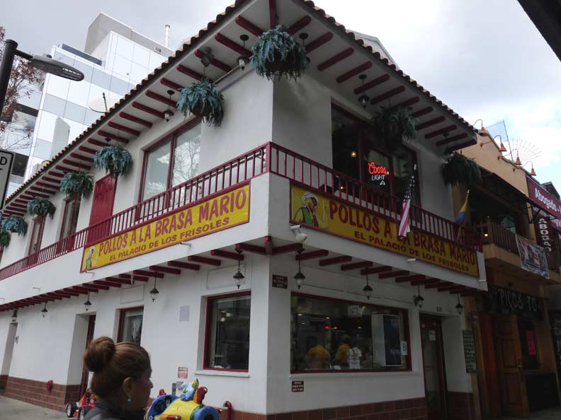
“Grilled chicken” restaurant, in a Spanish-style hacienda, Roosevelt Avenue and 81st Street. Occasionally the building fronts get as imaginative as the signage.


The Queensborough Corporation, beginning in the 1910s and continuing on to the 1930s, built a magnificent series of apartment buildings between 74th and 90th Street and from Roosevelt Avenue north to Jackson Avenue, now Northern Blvd. The buildings boast vast inner courtyards (invisible from the street) and the complex once had its own golf course and tennis club. Though time and demographics have altered the buildings, they remain a NYC treasure and own well-deserved places as NYC landmarks. They’re hardly Forgotten, so we’ll give them a glancing view here, but if you’re curious about a part of NYC where new housing once had panache and craft, please consult…
Jackson Heights Beautification Group
Bridge and Tunnel Club in Jackson Heights
Another plethora of signage, this time on the southern side of Roosevelt Avenue between 81st and 82nd Streets.
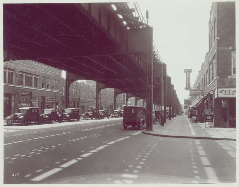
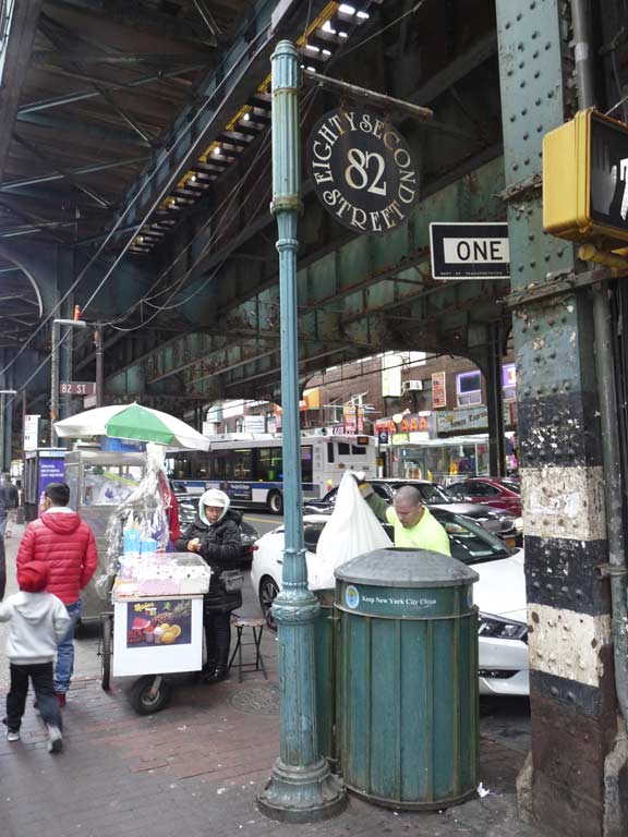
82nd Street — Jackson Heights
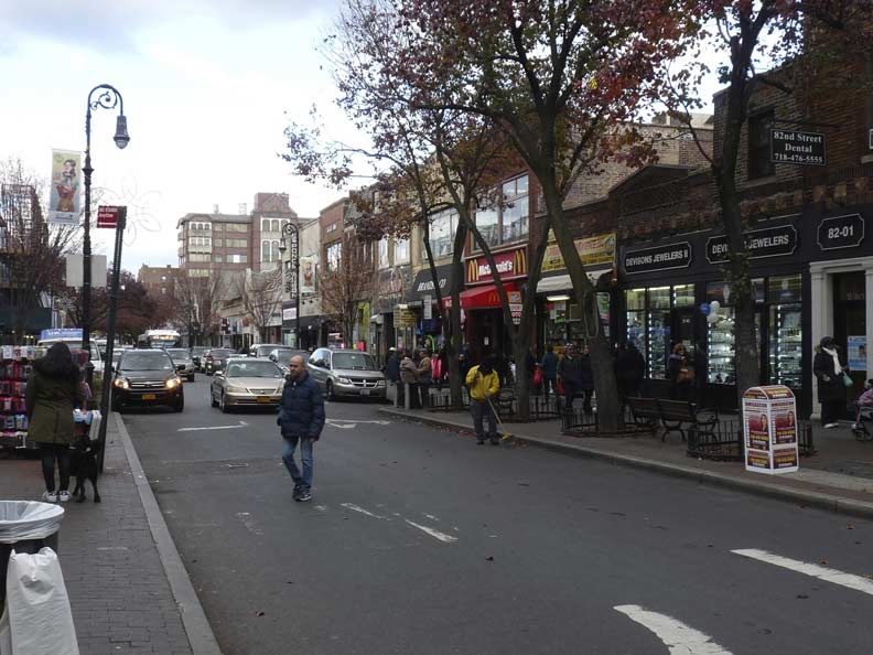
82nd Street looking north from Roosevelt Avenue
Between 82nd and 94th Streets, Roosevelt Avenue is the dividing line between two neighborhoods founded by two different real estate developers. As we have seen, the streets north of Roosevelt follow an east-west oriented street grid and were built by the Edward McDougall’s Queensboro Corporation beginning in 1910. The streets south of Roosevelt are oriented northeast to southeast, defying the overall grid, and were part of the original Elmhurst development between 1896 and 1910 by the Cord Meter Development Corporation, which developed large swaths of mid-Queens in the area once known as Newtown (hence the high school and the IND subway station).
Originally Elmhurst streets were numbered 1 to 12 and cross streets carried names such as Baxter, Orchard, Elmhurst, Whitney and Lamont Avenues. Around 1920 when Queens settled on an overall street and house numbering plan, the numbered streets were given names in alphabetical order from Aske to Macnish, while most of the cross streets’ names were maintained.
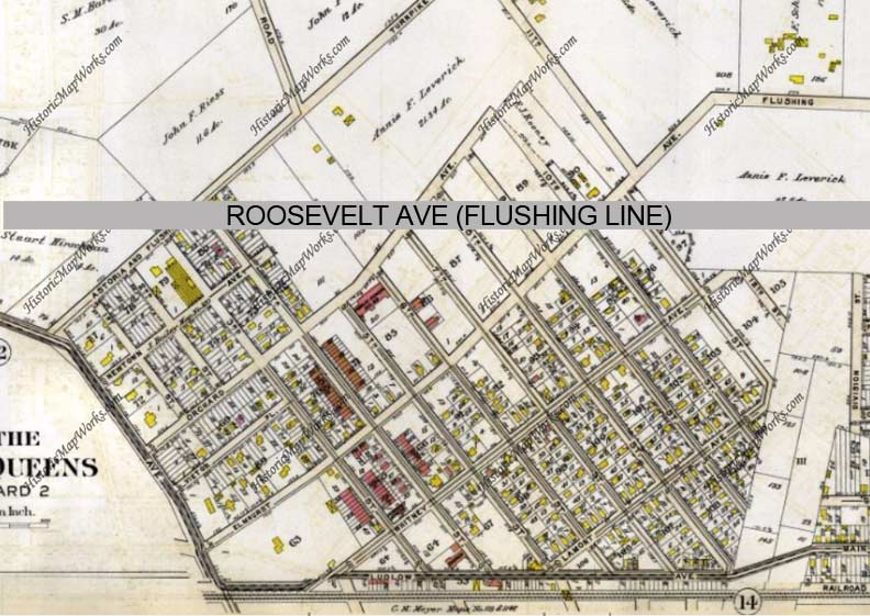
Here’s a 1909 map of the original Elmhurst development to which I’ve helpfully added the route of Roosevelt Avenue, which was built along with the elevated train between 1915 and 1917. Then as now, Elmhurst Avenue runs north of Roosevelt Avenue and assumes the path of the old colonial-era Flushing Turnpike, a major road to Flushing. It is today’s 37th Avenue and its somewhat meandering route is a clue to its age.
Here’a a look at Roosevelt Avenue and 80th Street in the 1930s. The buildings at left are still in place.
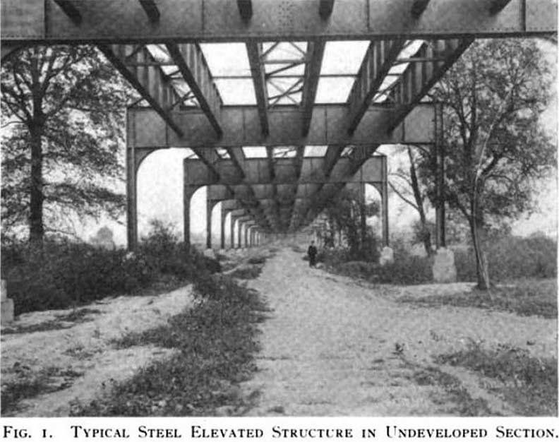
In 1915, a path has been cleared through the fields for Roosevelt Avenue at 90th Street and the basic elevated structure has just been constructed. Both photos above from the NY Public Library.
Along 82nd Street, a neighborhood partnership group has installed its signs atop modified Type B lamps, usually found in parks, but they can also be seen on selected neighborhood streets.
In spots along Roosevelt avenue, the Dwarf posts that had been deployed since the 1960s have been replaced with short cylindrical brown poles. These have been outfitted with New Gumballs, sodium vapor lamps, and new Light Emitting Diode fixtures. This brand, Philips RoadFocus, has popped up especially in Queens. The poles look especially short when loaded up with signage.
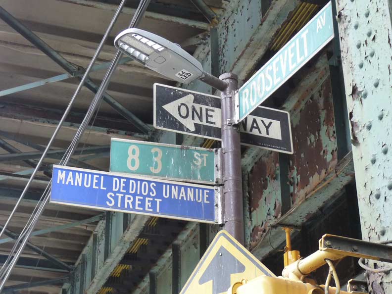
The street honors a Cuban-born journalist (1943-1992) murdered allegedly on the orders of a Colombian drug crime boss. Honorific signs of this type were originally in blue and white but have since been shifted to green and white.


Remember the drugstore in Woodside in Part 2 with the real and play guitars in the window? ElectroShack, Roosevelt and 84th Street, sells the real McCoys as well as other electronics. You can get pretty much anything you want on Roosevelt Avenue…not just food from around the globe.


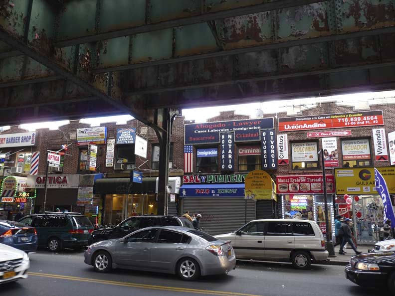
This section of Roosevelt Avenue is a Colombian stronghold. The country’s tricolored flag dominates one of the restaurants’ sidewalls on 87th Street. The use of three primary colors on the Colombian flag was reportedly inspired by the German writer/philosopher Goethe.


At 86th and Roosevelt is the last remaining specimen of this particular post-top lamp on the avenue. This style briefly dominated Roosevelt for a few years in the 1970s and 1980s; the post-tops, with the photocells at the apices, were kitted with bright yellow sodium lights. They once especially dominated Roosevelt and Liberty Avenues under els. There is still a short run of them under the Broadway el in the Bronx, and there’s also survivors under the Astoria el on Northern Blvd. near 31st Street and the Jamaica el in Richmond Hill.
90th Street — Elmhurst Avenue
Here’s a look at a World’s Fair R-33 at the 90th Street station in 1964.
Wedge-shaped Deco-style medical building at Elmhurst Avenue. As mentioned, this is one of the older roads in the area, connecting to the colonial-era Flushing Turnpike, now 37th Avenue.


These short davit, or curved-neck, posts have been deployed by the Department of Transportation in spots to replace the short brown 1980s posts. They carry a variety of LED fixtures, including the Cooper Verdeon (seen on this page) which has completely taken over Brooklyn, and one of the Leotek series of LED lamps.


At 93rd Street and Roosevelt there’s a traffic triangle formed by the easternmost Elmhurst diagonal street, with a sign saying “Answer Triangle.” This is yet another hilarious Henry Stern-ism, since that diagonal street is named Aske! The question I have is why all those white doves (not pigeons) were pecking around there. They must have escaped form a magician’s sleeve.
There seems to be no pattern in the names given to Elmhurst diagonal streets –some, like Aske, Benham, Case, may be property owners or developers — and there’s Ithaca, which is a western New York State town home to Cornell University; the town was named for a Greek island.


Store signage continues to come fast and furious on Roosevelt Avenue in the 90s. The focus shifts to Mexico as the Mexican flag colors appear on a taqueria awning. There’s an unusual 95th Street circular window arrangement at the La Abundancia restaurant.
Junction Boulevard
During construction of the Corona (later Flushing) el, Junction Boulevard was considered important enough to rate a center platform and an express stop. The road is a major route connecting Jackson Heights and Elmhurst.
Junction Boulevard presently runs from 32nd Avenue south to Queens Boulevard south of Lefrak City. As Junction Avenue, it once ran all the way north to the water’s edge at North Beach, where there had been amusement parks but is now part of LaGuardia Airport the section north of 32nd Avenue is now 94th Street. Many major Queens routes were given the “Boulevard” moniker as part of the new street and house numbering system instituted beginning in 1915.
Junction Boulevard’s name apparently has something to do with the trolley line that used to run along its length, although there was never a major trolley junction on it with the exception of the line’s meeting with the Grand Street line at the south and the North Beach turnaround at its northern limit. Trolleys first ran on the road, which was likely built as a right-of-way for the tracks, from May 31, 1894 until 1949, when the route was finally discontinued.


It’s a feast for the eyes and the nose at Junction Boulevard — as stated you can get pretty much anything you want on Roosevelt Avenue, from religious hexerei to recently live lobsters to any fruit grown in the western hemisphere. NYC is a grand place.
In Part 4: to Citifield and beyond
“Comment…as you see fit.”
4/30/17
10 comments
Thanks for a look under the ‘EL’. I rode the train many times in the50’s & 60’s from Flushing into the city and never got a good look at street level.
I loved the proposed subway extension map you linked. I would discourage naming any line the “P” Train. No need to encourage them.
for someone with the skills do the elevated station lines in the bronx #6-#2 and #4. That was booth holdup city central in the 60’s and 70’s for elevated lines. If you remember that was part of your job description where you did not even write up the medal. EVERYBODY WOULD HAVE BEEN RETIRED BY 1984.. It was nuts but we did great. That was when TRANSIT CARRIED A LOT OF ESTEEM.
That’s strange.
the other cop with Bob Davan looks like Brian barrett. ??? just a guess
not this one
It looks like Queens is replacing the 64 and 108 watt Philips RoadFocus with the 77 and 91 watt Cooper Verdeon in all its streetlights.
I don’t know.
It looks like Queens is replacing the 64 and 108 watt Philips RoadFocus with the 77 and 91 watt Cooper Verdeon in all its streetlights.
My grandfather was the projector operator for many years at the Colony Theater, on the 82nd block shown in the photo. I have many fond childhood (1960s and early 1970s) memories of sitting in the booth with my grandfather and enjoying free movies and free popcorn. Back then, the projectors were huge, complex machines that required a lot of knowledge, training, and experience to operate. Grandpa and his fellow projector operators were all highly-skilled union men.
Does anyone know what is now in the space where the theater used to be?